Home
Shopping cart (0 items € 0)
Advanced search

Dutch trade, whaling, herring fishery, etc., with magnificent views of the harbours of the Netherlands
and the Dutch East Indies ca. 1772-ca. 1781, including a wide variety of boats and ships
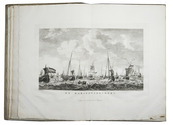
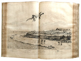
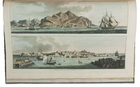
AA, Cornelis van der (illustrated by Dirk de JONG & Hendrik KOBELL jr.). Atlas van de zeehavens der Bataafsche Republiek, die van Batavia en Onrust. Mitsgaders de afbeeldingen van de haring visscherij en de walvisch vangst. In een-en-dertig kunstplaaten naar het leven afgebeeld ...
Amsterdam, Evert Maaskamp, [printed by Paul Etienne Briët?], 1805. Large folio (39.5 x 28.5 cm). With a finely engraved title-page in various styles of decorated lettering and flourishes, executed by Klockhoff, and 31 double-page engraved views (ca. 28.5 x 39.5 cm) showing Dutch harbours with a wide variety of sailing boats and ships, the harbours of Batavia and the island Onrust in the Dutch East Indies (now Djakarta and Pulau Kapal in Indonesia), and 2 views of herring fishing and whaling.
With the loosely inserted "prospectus" (actually an advertisement issued on publication):
[MAASKAMP, Evert]. Berigt aan kooplieden, zeevarenden en verzamelaars van vaderlandsche kunstprinten.
[Amsterdam], [Evert Maaskamp], printed by Paul Etienne Briët, [1805]. 4to (27.5 x 22 cm).
Contemporary boards (including a paperboard spine), as issued by the publisher. XII, 135, [1 blank] pp. plus engraved title-page, 31 plates and the loosely inserted prospectus. Full description
€ 14,500
Order Inquire Terms of sale

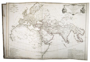
Magnificent eighteenth-century atlas of the world, with 30 beautiful maps.

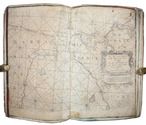
ANVILLE, Jean Baptiste Bourguignon d'. [Atlas Général].
[Paris, "chez l'auteur aux Galleries du Louvre", 1743-1771]. Large folio (54.5 x 40.5 cm). Atlas comprising 30 maps of the world, most of them engraved by Guillaume de la Haye, (in 2 full-page, 23 double-page, and 21 folding; about 10 maps measuring ca. 100 x 100 cm when put together). Numbers 1-8 and 9-33 have a coloured in outline. Contemporary three-quarter calf, boards covered with marbled paper. Without printed title (not always present), but with manuscript index on the recto of the first flyleaf. Full description
€ 27,500
Order Inquire Terms of sale

Rare study describing a 622 AH (1225/26 CE) celestial globe with Cufic lettering, with 3 folding plates

ASSEMANI, Simone. Globus caelestis Cufico-Arabicus Veliterni Musei Borgiani ... illustratus. Praemissa ejusdem De Arabum astronomia dissertatione et adjectis duabus epistolis Cl. Josephi Toaldi.
Padua, Seminary printing office, 1790. Small folio (21.5 x 29.5 cm). With 3 large folding engraved plates. Contemporary green half calf, gold-tooled spine, marbled sides. [16], CCXIX, [9] pp. Full description
€ 28,000
Order Inquire Terms of sale

First edition of the magnificent work on the Dutch colony of Brazil,
the folio edition, complete with all plates and maps

BARLAEUS, Caspar. Rerum per Octennium in Brasilia et alibi nuper gestarum.
Amsterdam, Joan Blaeu, 1647. Folio. With an engraved title-page, an engraved portrait of Johan Maurits van Nassau, 25 double-page engraved maps and plans, and 31 double-page engraved plates. Further with a woodcut printer's device on the title-page. Contemporary vellum, upper cover ruled in blind with blind-stamped floral vignette in center. [12, including title-page, frontispiece and portrait], 340, [8] pp. Full description
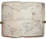
€ 36,500
Order Inquire Terms of sale

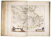
First edition of Blaeu's atlas of Scotland and Ireland, beautifully coloured and highlighted with gold

BLAEU, Joan. Vyfde stuck der aerdrycksbeschryving, welck vervat Schotlandt en Yrlandt.
Amsterdam, Joan Blaeu, 1654. Atlas folio (57.5 x 39.5 cm). With engraved architectural title-page with the arms of Scotland filling the top half, elaborately crested, supported by unicorns with flags and still with the old Stuart royalist mottos, and 55 engraved maps (54 double-page and 1 of the Irish County Caterlogh, full-page), often richly adorned with additional cartouches with regional scenes, but most often with coats of arms from the region. Numerous woodcut tailpieces and decorated initial letters. The title-page and all maps, including the cartouches, scenes and coats of arms, beautifully coloured by hand and highlighted with gold. All maps in their first states, without added ships or compass roses. 17th-century Dutch gold-tooled vellum. [8], 189, [1 blank], 70, [1, 1 blank] pp. Full description
€ 24,000
Order Inquire Terms of sale

"The greatest and finest atlas ever published", with 610 maps, plans and views,
coloured by a contemporary hand

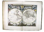
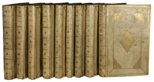
BLAEU, Joan. Grooten atlas, oft werelt-beschryving, in welcke t aerdryck, de zee, en hemel, wort vertoont en beschreven.
Amsterdam, Joan Blaeu, 1664-1665. 9 volumes. Imperial folio (55.5 × 36.5 cm). With 9 engraved title-pages, an engraved frontispiece and 610 engraved maps, views, plans, etc., mostly double-page (53.5 × 64 cm, plate size ca. 42 × 53 cm), 7 larger folding, a few single-page and a few smaller, many including additional inset maps, plans and views, and decorated with coats of arms, human & mythological figures, animals, produce, etc. With the engraved title-pages, frontispiece, other engravings (except for the compass rose and 2 inscriptions), woodcut devices on 4 title-pages and 1 woodcut initial coloured by a contemporary hand (the maps mostly in outline but with their decorations fully coloured) and some (mostly the engraved title-pages) with extensive use of gold. Contemporary gold-tooled vellum. Full description
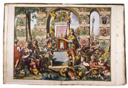
€ 675,000
Order Inquire Terms of sale

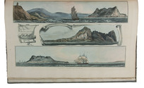
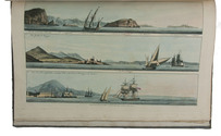
Fine untrimmed copy of a pilot guide, with coloured maps and aquatint profiles

BOUGARD, René and John Thomas SERRES. The little sea torch: or, true guide for coasting pilots.
London, J. Debrett for the "author" [Serres], G. & W. Nicol, et al. [printed by T. Rickaby], 1801. Large folio (47 x 30 cm). With 20 numbered aquatint plates containing 137 coastal profiles, and 12 partly numbered engraved plates containing 24 maps of port cities, harbours, islands and the Strait of Gibraltar. All coastal profiles and maps beautifully and subtly coloured by a contemporary hand. Contemporary boards. VI, 144, [5] pp. Full description
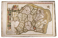
€ 14,500
Order Inquire Terms of sale

Cross-cultural navigation: Turkish-inscribed maritime pilot

COLOM, Jacob Aertsz. [Description de la mer méditerranée].
[Amsterdam, ca. 1670]. Folio (29 x 45 cm). With 9 double-page engraved charts only, each sheet ca. 44 × 55 cm, each mounted on stiff paper with maps back-to-back, with thick red and black ink borderlines. 8 of 9 maps are by Colom, numbered 2-9 in the plates from; plate 1 has been replaced with Johannes de Rams map of the Mediterranean: "Paskaart vande Middelandsche Zee In twee deelen vertoont". Contemporary stiff paper wrappers, with a manuscript label pasted upside down on the back wrapper, reading: "Carta Marinaresca del Mar Mediterraneo". Full description
€ 25,000
Order Inquire Terms of sale

Beautiful atlas of the Land van Voorne, in full contemporary colour

DIJCK (DYCK), Heyman van. Voorne caart-boeck van alle de dorpen, en polders gelegen inden lande van Oost, ende West Voorne, mitsgaders over Flacquée.
[Netherlands, ca. 1701]. Imperial folio (ca. 55 x 38 cm). Etched double-page title-page by Romeyn de Hooghe, dated "1701", and 32 engraved double-page maps (numbered I- VI, A-F and 1-9) engraved by Jan Stemmers and etched by Jan and Caspar Luyken after drawings by A. Steyaart, all in beautiful contemporary colouring. Contemporary red half sheepskin. Full description
€ 25,000
Order Inquire Terms of sale

Pocket atlas of the Low Countries with the world & the continents

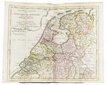
ELWE, Jan Barend. Compleete zak-atlas, van de zeventien Nederlandsche Provinciën.
Amsterdam, J.B. Elwe & D.M. Langeveld, 1786. 8vo. With a double-page engraved title, 29 numbered folding engraved maps (the first 5 signed by A. van Krevelt) and 2 folding engraved tables, all coloured by a contemporary hand. Contemporary half calf, gold-tooled spine. 239, [1] pp. Full description
€ 2,950
Order Inquire Terms of sale
33 books found / Show all