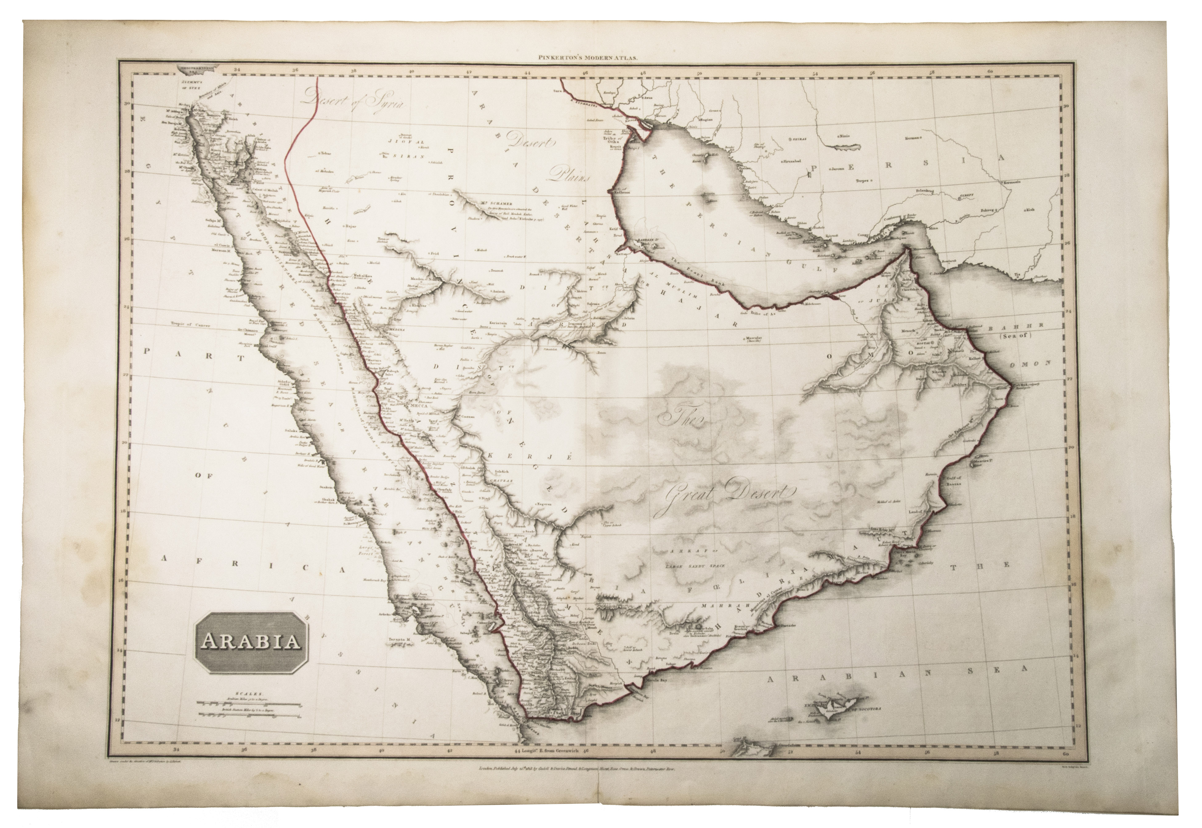
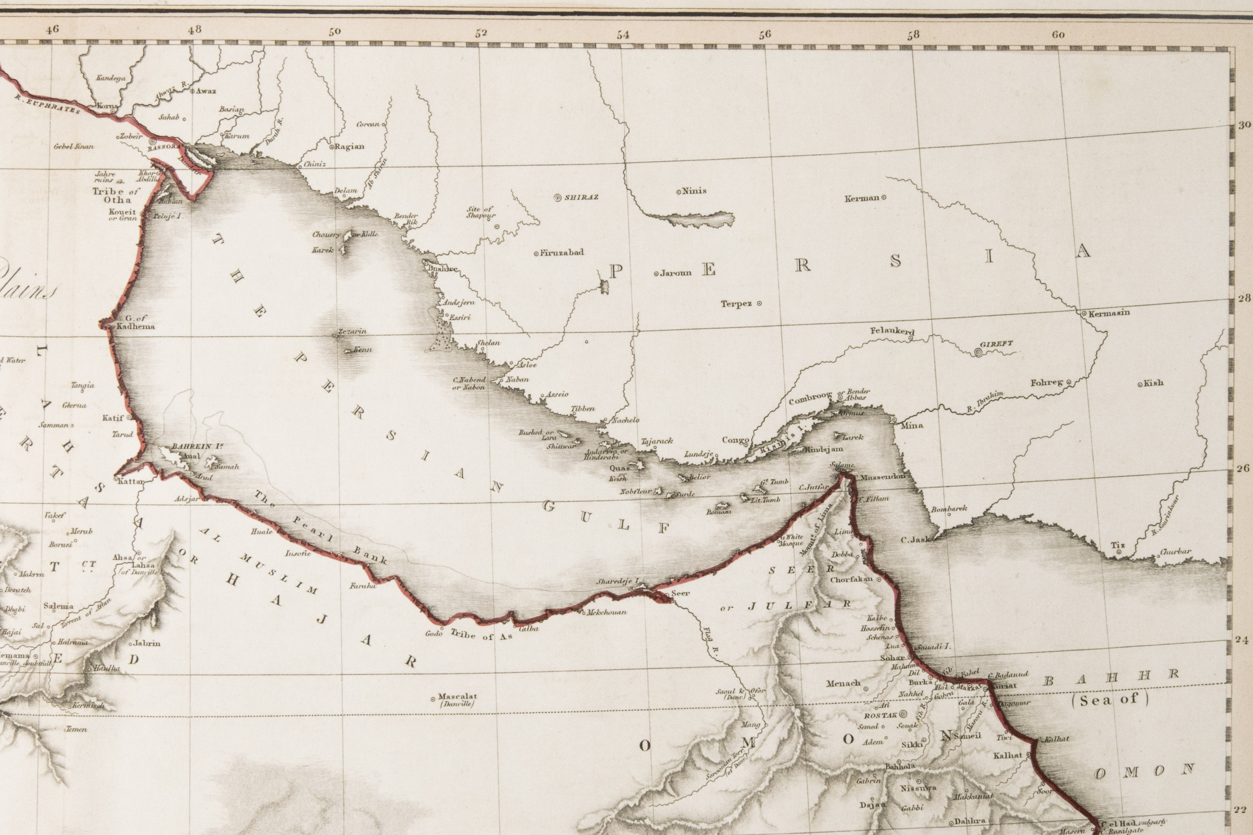
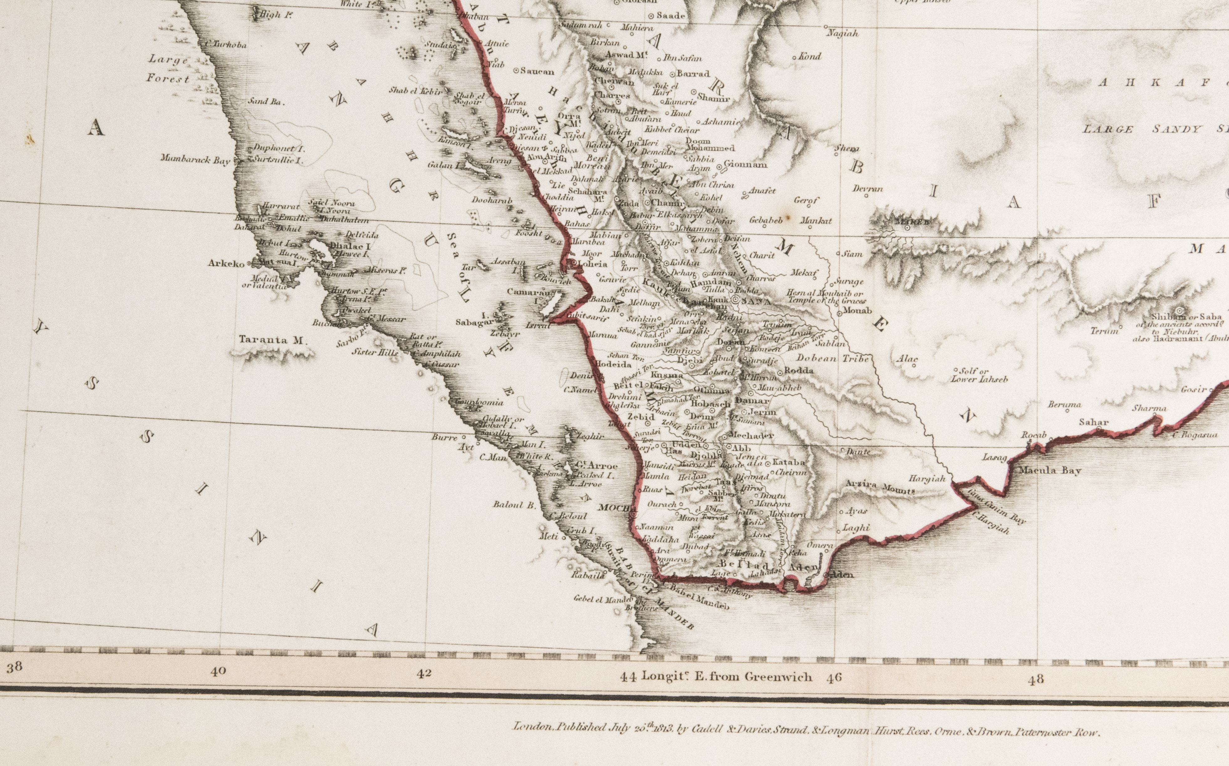
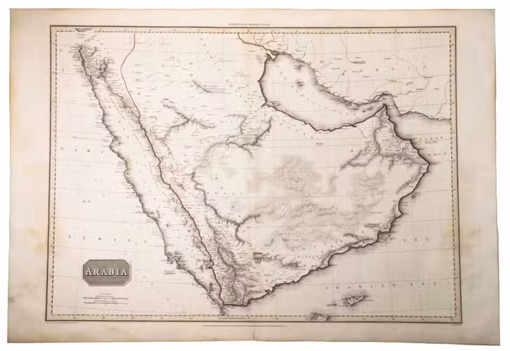
PINKERTON, John.
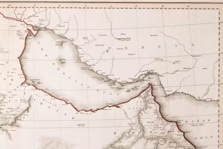
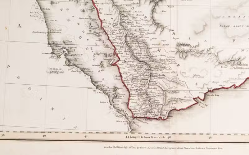
Arabia.
London, Cadell & Davies, 1813. Engraved map (56 x 77 cm), hand-coloured in outline. Scale 1: 4,300,000.
€ 2,800
A rather large English map of the Arabian peninsula, with detail starting to appear in the interior, especially around Oman. Al-Qasimi 222; cf. Alai, General maps E.260 (1811 ed.).
Related Subjects: