UCHIDA Masao.
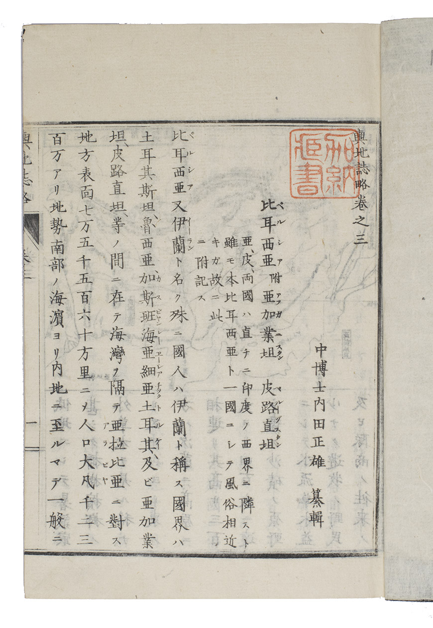
Yochi shiryaku [Compendium of world geography].
[Tokyo], Meiji 4 [= 1871]. (25.5 x 17 cm). With the title and all text in Japanese, printed from woodblocks on rice paper, with 1 double-page, 2 full-page and 2 half-page maps and 12 full-page and 23 half-page illustrations of architecture, people and costumes, topography, plants and animals. Original publisher's heavy paper wrapper. [1 blank], 59, [1] ll.
€ 4,500
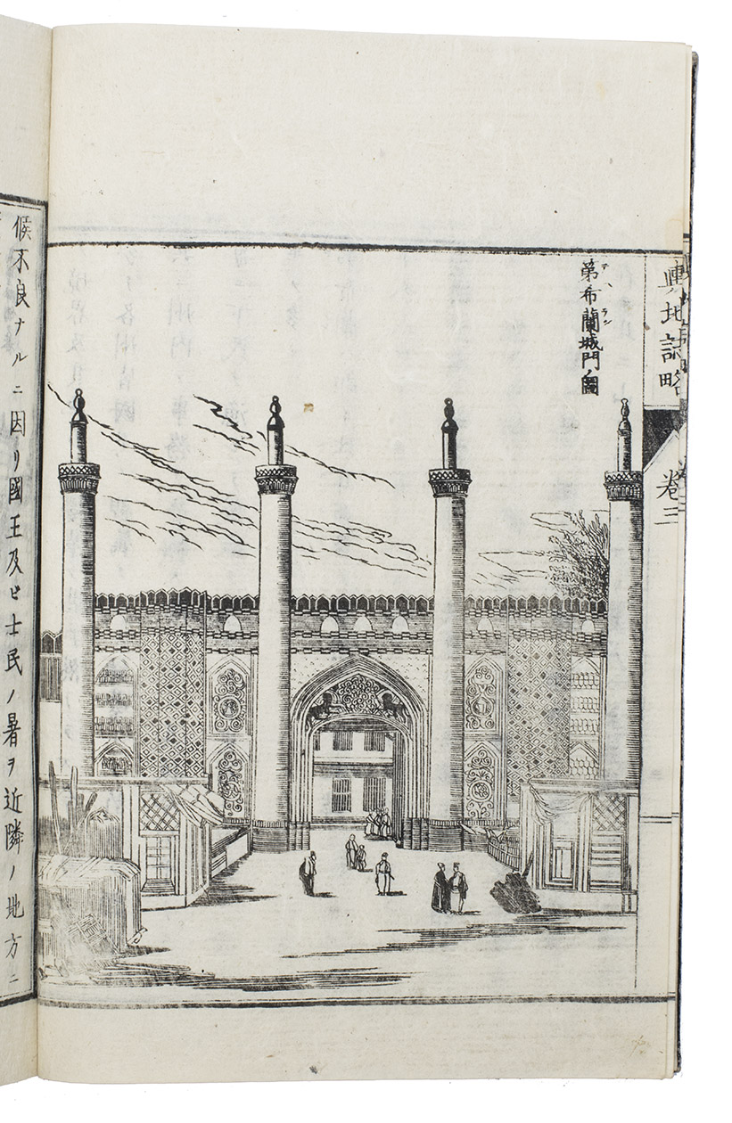
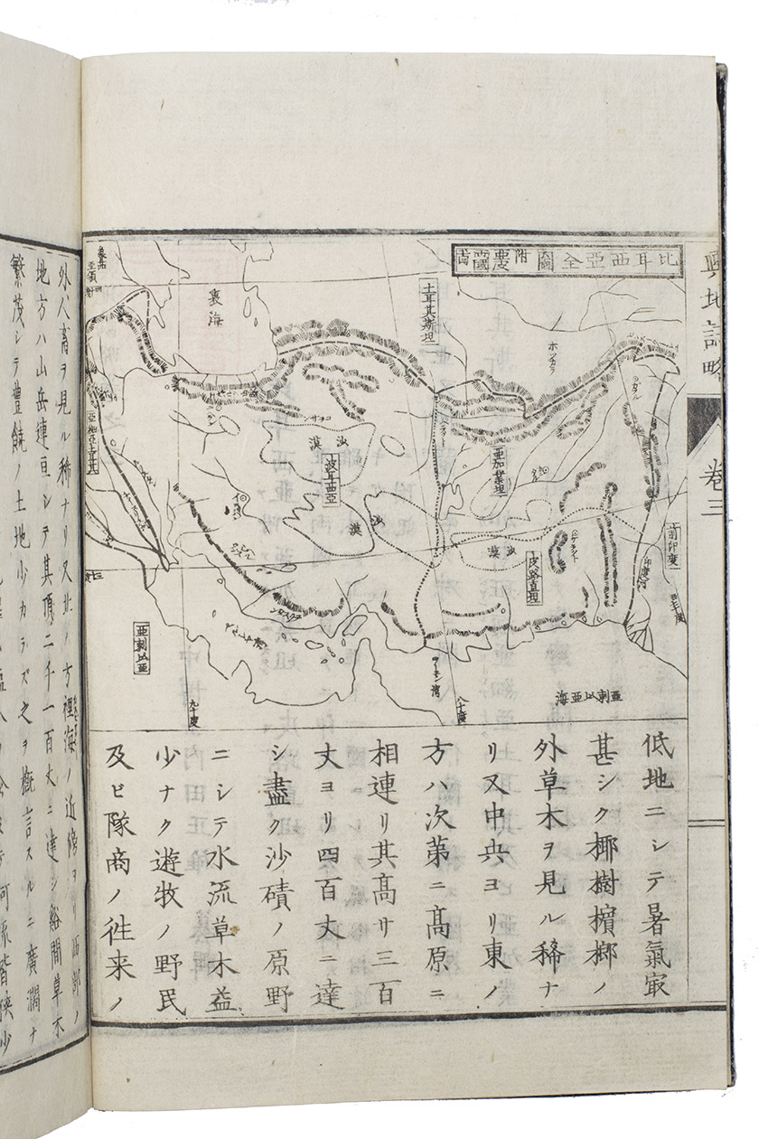
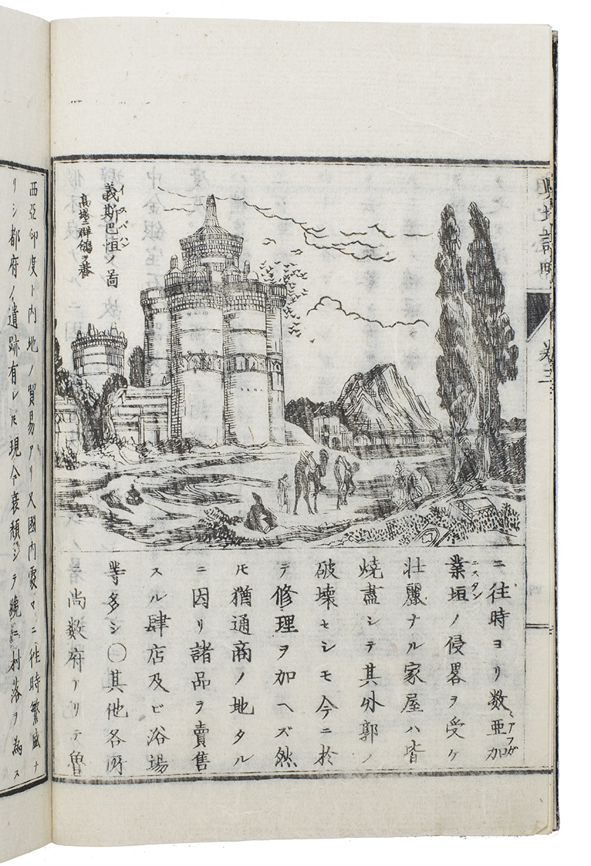
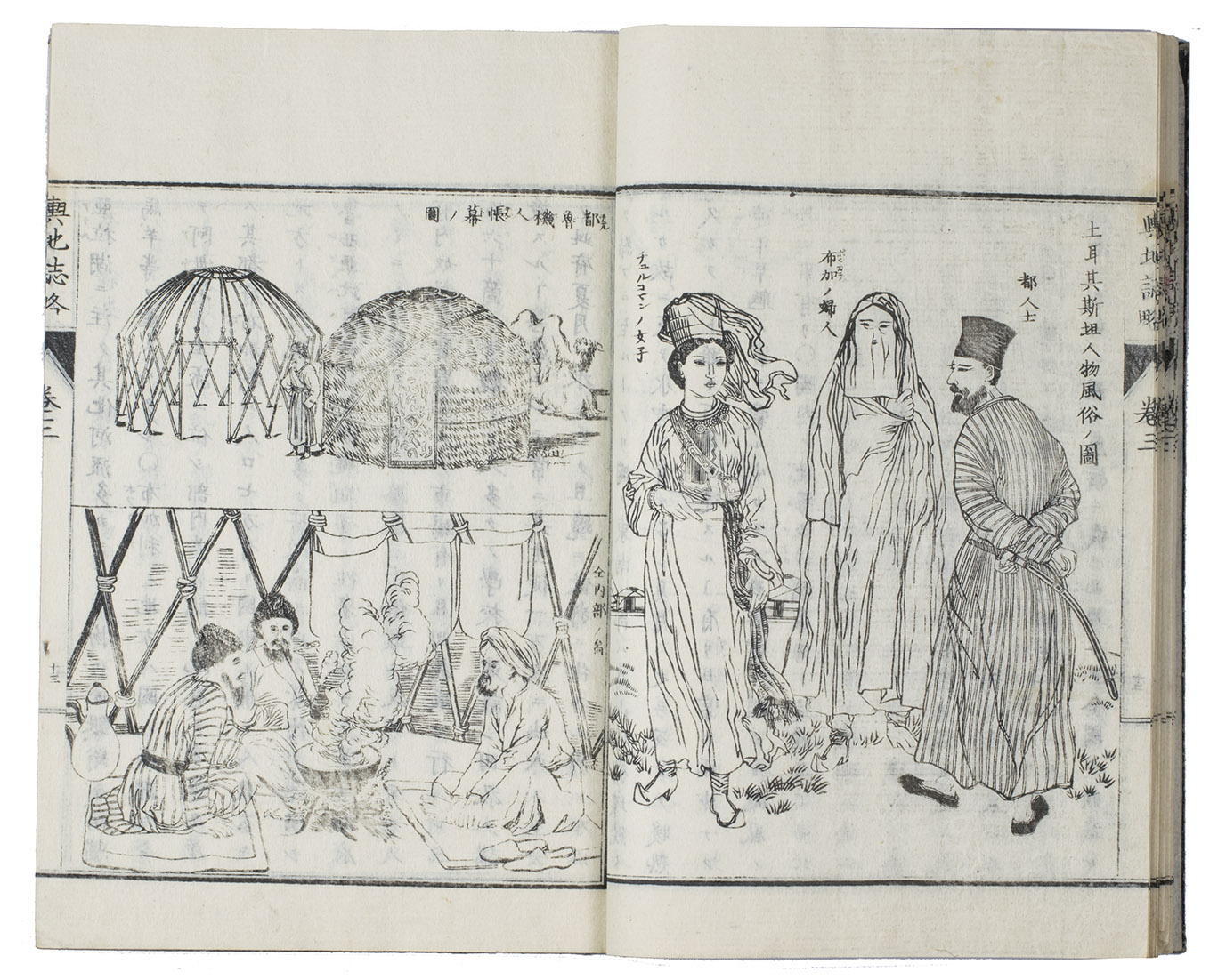
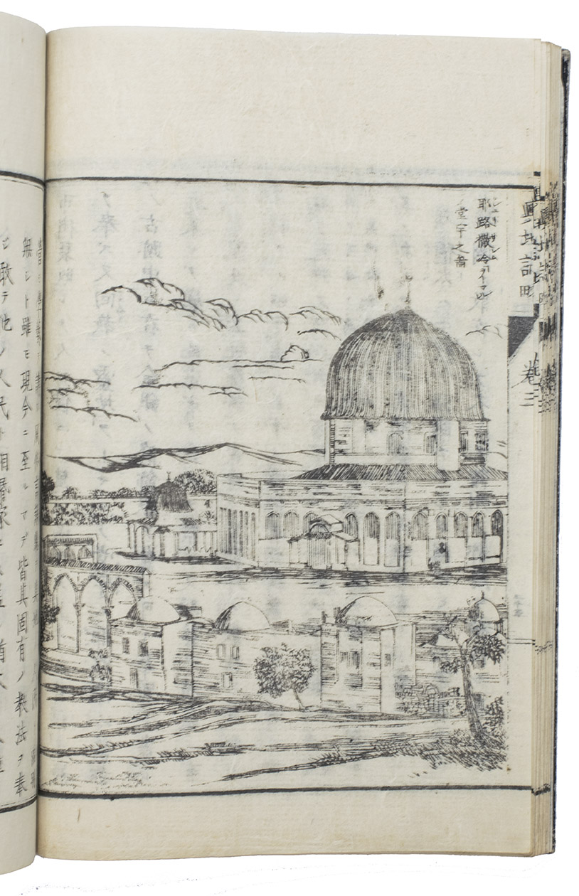
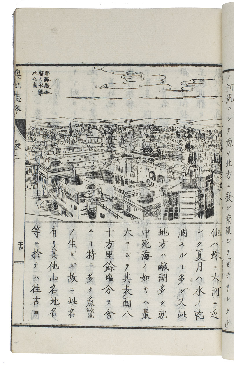
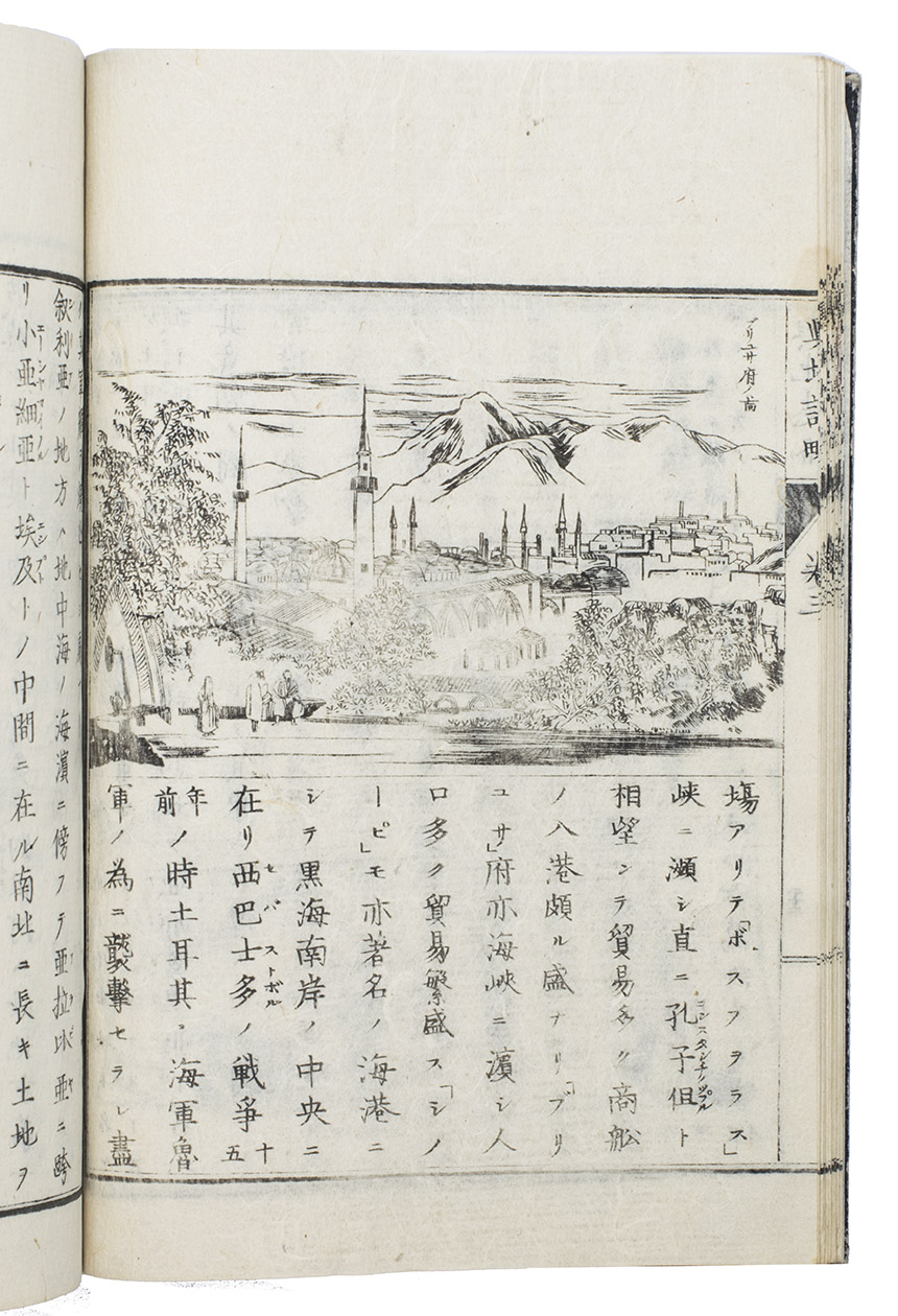
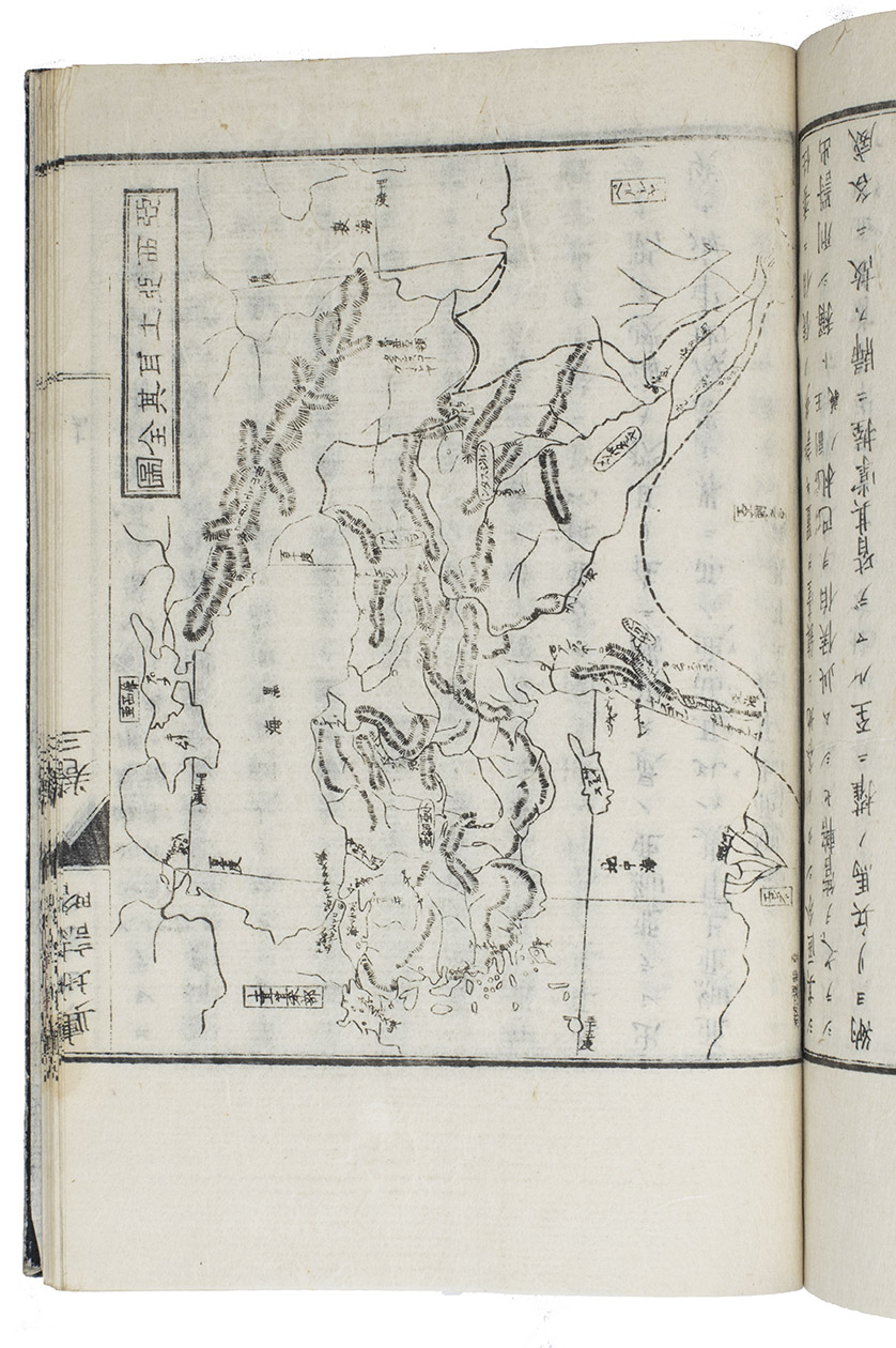
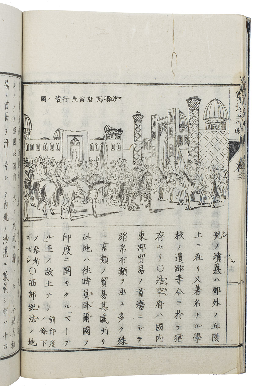
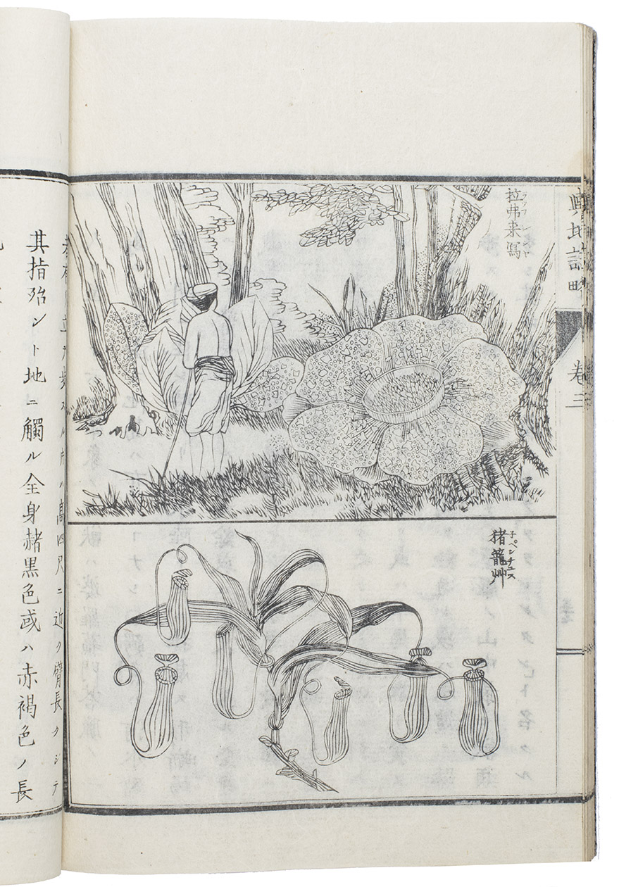
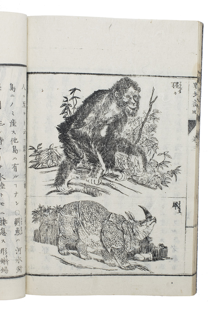
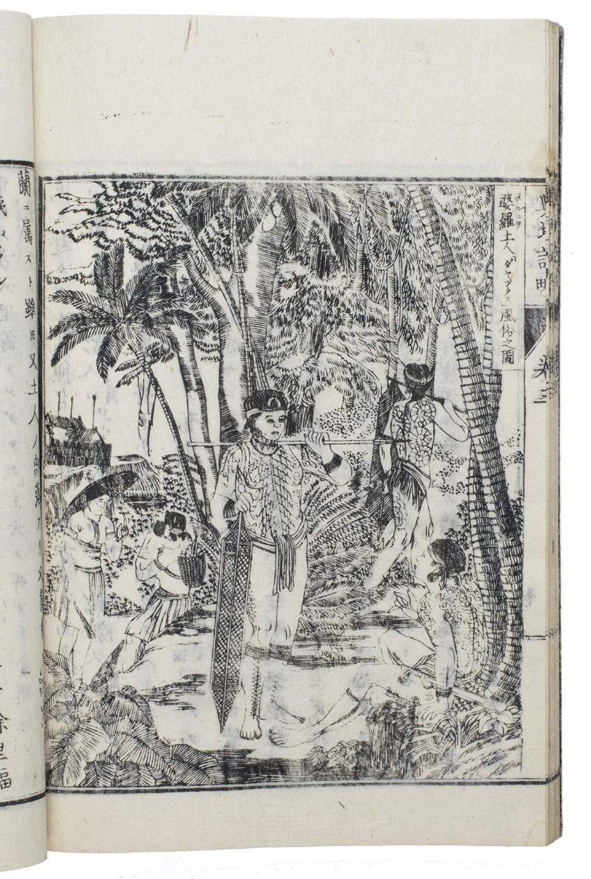
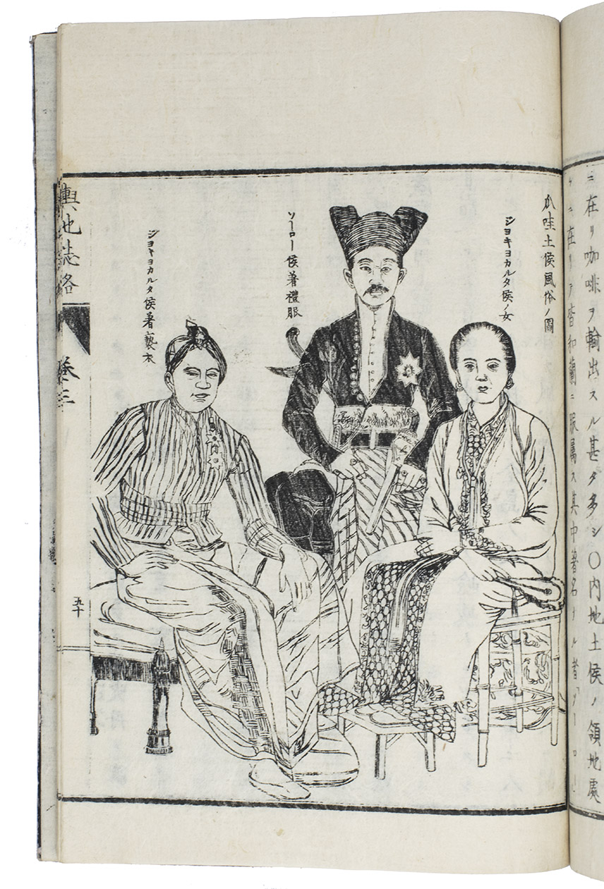
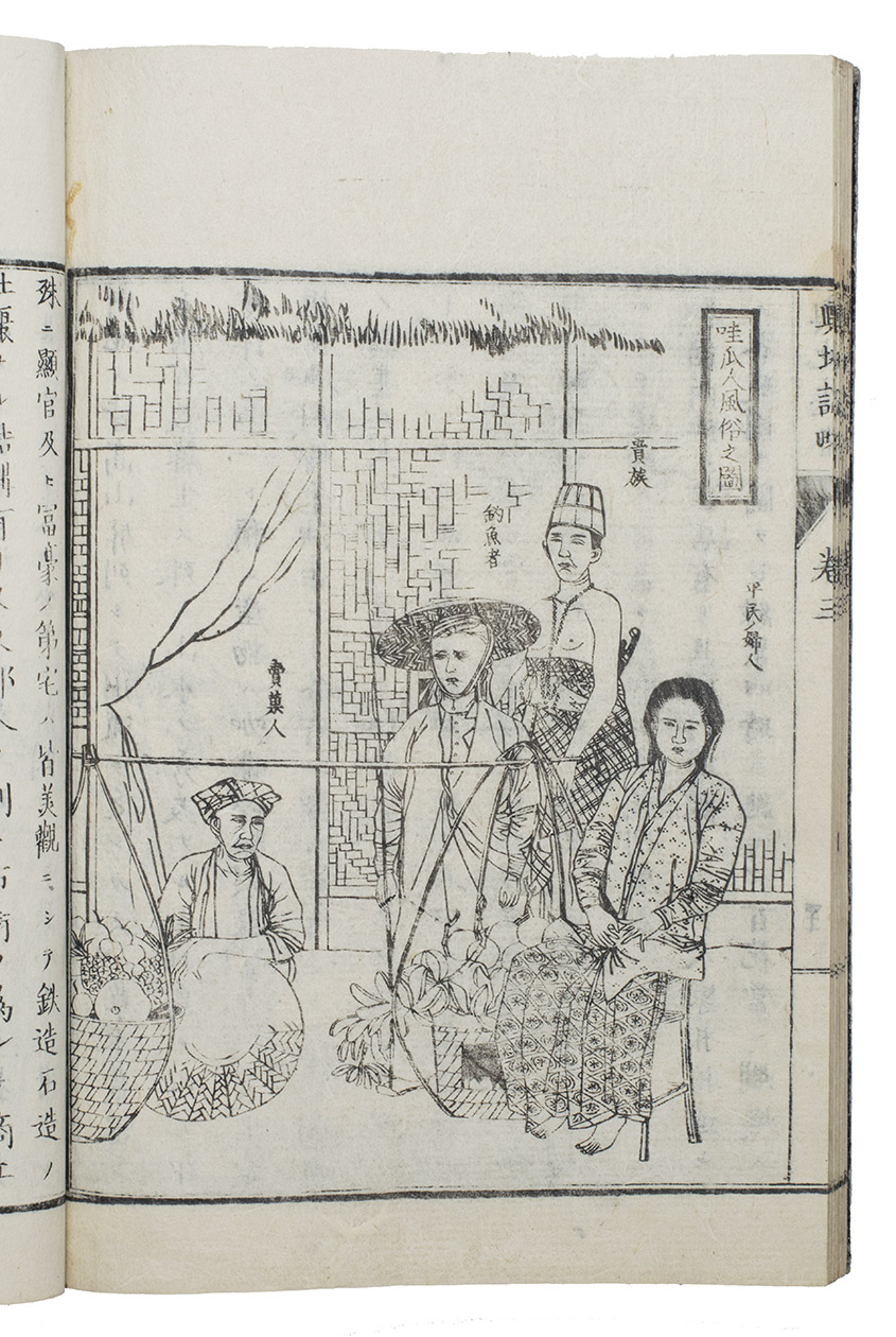
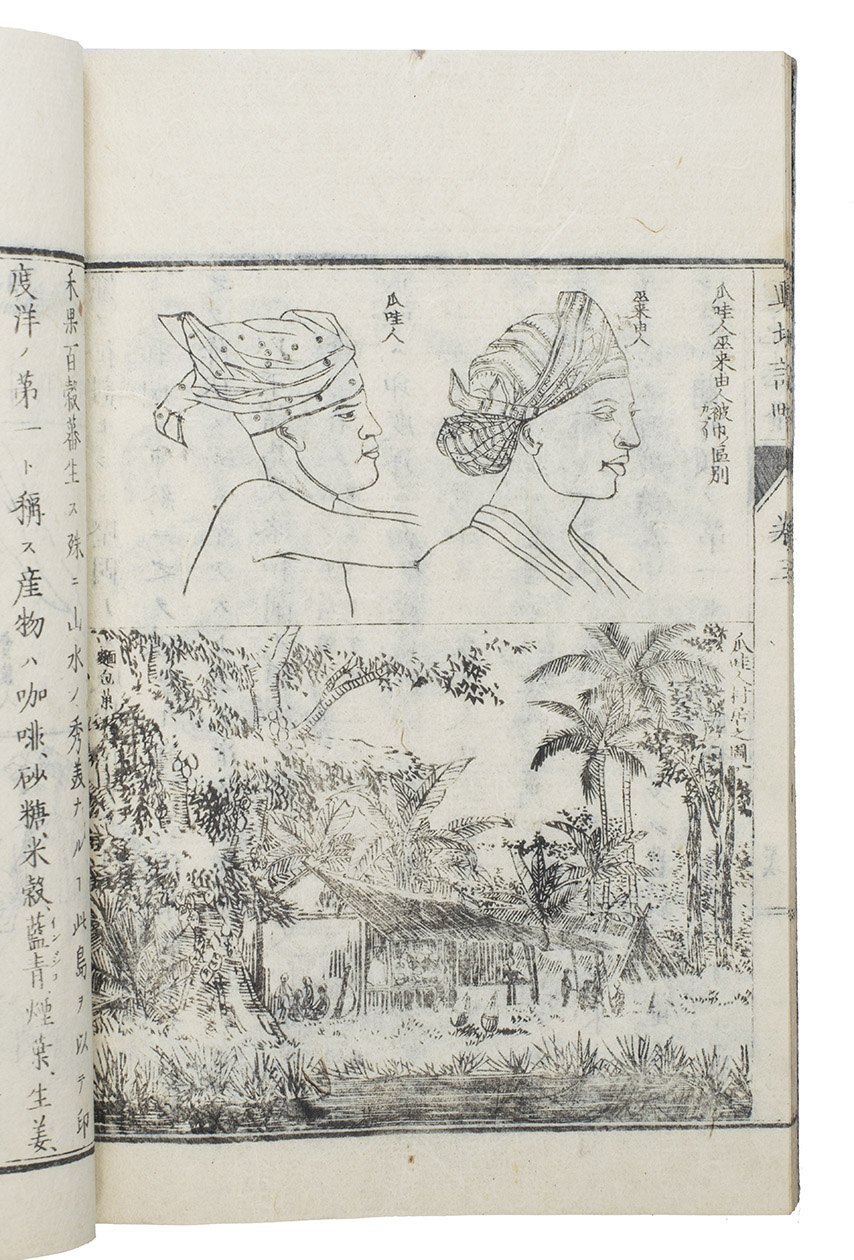
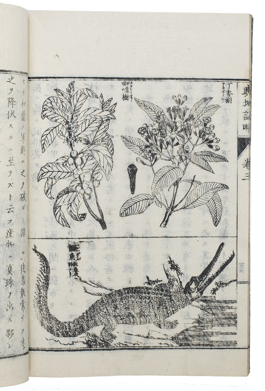
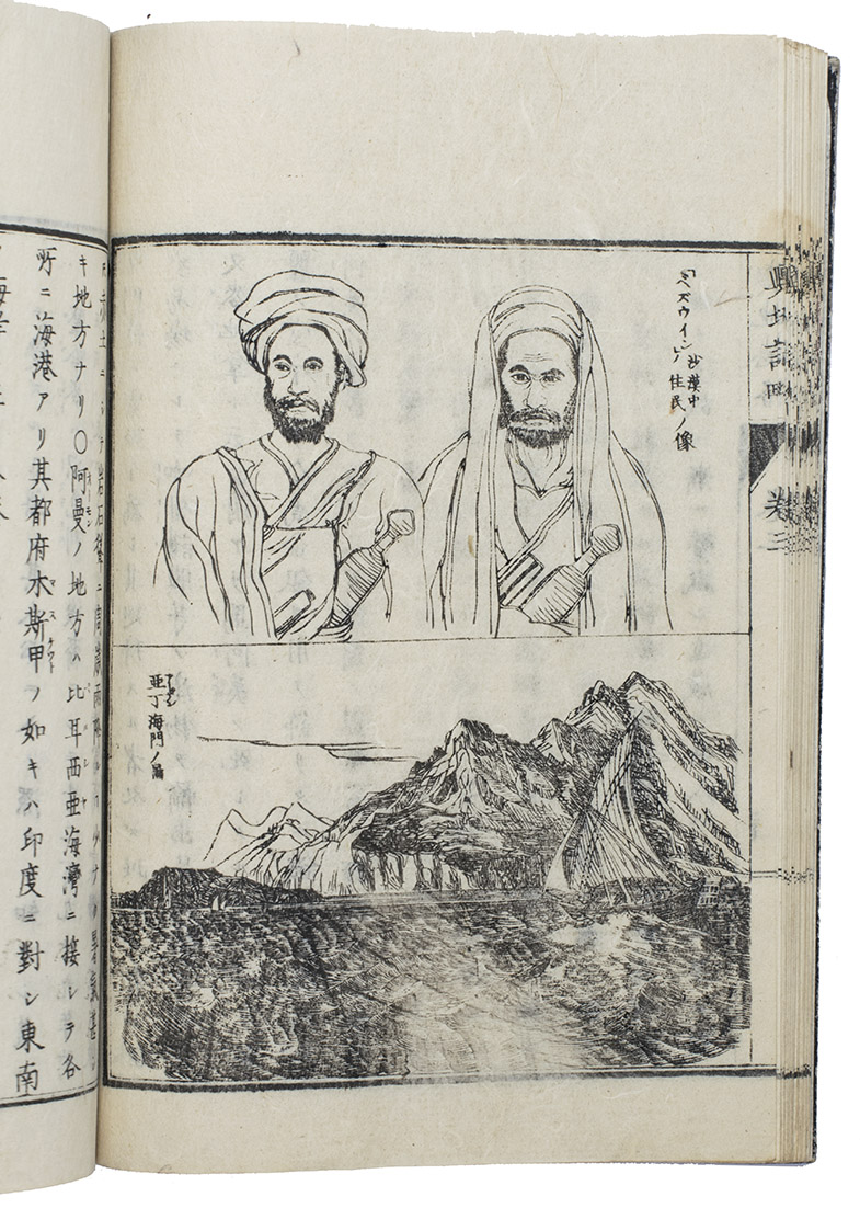
The third volume in a geographic-topographic series by Uchida Masao, this volume covering the Near and Middle East, Indonesia and surrounding regions. The five maps cover the regions around Persia, West Turkistan, Turkey & the Caucasus (including the eastern Mediterranean, Black and Caspian Seas), the Arabian peninsula and Indonesia (with the Philippines and part of Southeast Asia). Six illustrations show plants or animals and many show buildings, cities, people in exotic clothing, landscapes, etc. The maps have north at the top with a grid of latitude and longitude (with the prime meridian through Tokyo) and the other illustrations follow also Western styles and conventions. Many were made from photographs made by European travelers.
Uchida Masao (1838/39-1876) was born in Edo (now part of Tokyo). He studied in the Netherlands from 1862 to 1867 and returned with Western geography books, photograph albums and other sources then largely unknown in Japan. From 1870 to 1880 he published his Yochi shiryaku (13 parts, numbered as 12 volumes with vol. 11 in 2 parts). Many of its illustrations were based on the photographs he brought back. It quickly became a best seller and was reprinted many times, giving many Japanese their first view of foreign lands. The wrapper has minor worm damage near the spine and is worn near the edges. In very good condition. WorldCat (3 copies).
Related Subjects:
