Categories
Shopping cart (0 items € 0)
Advanced search ▾

Cartography, Exploration & Voyages

Well-illustrated encyclopaedia of astronomical and surveying instruments from the time of Galileo,
with a world map in two hemispheres, and 3 volvelles
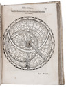
GALLUCCI, Giovanni Paolo. Della fabrica et uso di diversi stromenti di astronomia, et cosmografia, ove si vede la somma della teorica, et pratica di queste due nobilissime scienze.
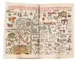
Venice, Roberto Meietti, 1598. 4to (22 x 16.5 cm). With an engraved title page, a folding woodcut plate, 3 woodcut volvelles with moving parts, and numerous woodcut illustrations in text. Including a world map in two hemispheres (incl. America and a scattering of islands at the location of Australia) on two facing pages, they reappear with volvelle attachments on both sides of leaf 149 and leaf 153. Contemporary limp sheepskin parchment. [8], 228 ll. Full description
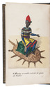
€ 35,000
Order Inquire Terms of sale

A Portuguese expedition to the Kingdom of Kazemba

GAMITTO, Antonio Candido Pedroso. O Muata Cazembe e os povos Maraves, Cheva, Muiza, Muembas, Lundas e outros da Africa austral.
Lisbon, Imprensa Nacional, 1854. 8vo. With 22 hand-coloured lithographed plates, and a folding lithographed map (45 x 28 cm), hand-coloured in outline. Contemporary straight-grained, gold-tooled black sheepskin, gilt edges. XXV, [1 blank], 501, [1 blank], [2] pp. Full description
€ 9,000
Order Inquire Terms of sale

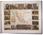
Mexico in the 1880s, with atlas volume including 13 chromolithographed maps and 1 general map of Mexico

GARCIA CUBAS, Antonio. Cuadro geográfico, estadístico, descriptivo é histórico de los estados unidos Mexicanos. Obra que sirve de texto al Atlas pintoresco.
Including: Atlas Pintoresco e Historico de los Estados Unidos Mexicanos.
México, Fomento & Debray, 1885. 2 volumes. 8vo and oblong large folio (64.5 x 82 cm). With 2 folding tables and 2 full-page plates in the text volume and in the atlas 13 chromolithographed maps (52 x 69 cm), and a full-page chromolithographed map of Mexico at the end. Contemporary black cloth with gold lettering on front board (text); contemporary red half morocco, title and ornaments in gold on spine (atlas). IV, 474, [3] pp. text. Full description
€ 11,000
Order Inquire Terms of sale

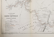
Exploring central China, with a large folding map

GARNIER, Francis. Voyage dans la Chine centrale, Vallée du Yang-Tzu, fait de mai à aout 1873.
Paris, E. Martinet for Ch. Delagrave, 1874. 8vo. With a large lithographed folding map (26 x 58 cm), with highlights in red, and several letterpress tables. Original publisher's printed yellow wrappers. [3], [1 blank], 39, [1 blank] pp. Full description
€ 1,250
Order Inquire Terms of sale

Rare follow-up to a curious account of the daily life of a French salesman in South America

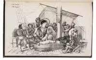
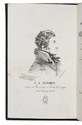
GENDRIN, Victor-Athanase. Récits historiques, exacts et sincères, des sept voyages par mer & par terre. Faits au Brésil, au Cap-Horn, au Chili, aux Cordillères des Andes, à Mendoza, dans le Désert et à Buénos-Ayres … Extrait de la publication de 1856.
Versailles, Gendrin (colophon: imprimerie Cerf), 1860. 8vo. With lithographed portrait of the author as frontispiece, 36 (32 numbered followed by 4 unnumbered) pages with lithographed reproductions of letters, and 9 lithographed plates. Contemporary cloth. 24, [4], 32, [4] pp. Full description
€ 2,450
Order Inquire Terms of sale

The customs and legends of Malta, Syria, Lebanon, Jerusalem and Egypt

GENTIL, Emile. Souvenirs d'Orient. Anecdotes de voyage. - Légendes. - Moeurs, coutumes, etc. Détails nouveaux sur Malte, le Liban, la Syrie & l'Egypte, avec un grand nombre de dessins inédits, et les plans des principaux sanctuaires de Terre-Sainte.
Paris, Lyon, Metz, Librairie Catholique de Pétisse frères, 1856. 2 parts in 1 volume. 8vo. With 2 engravings and 4 engraved plans, one of which folding, and numerous illustrations in text by J. Verronnais after the original drawings by Emile Gentil. Original brown half morocco, gilt spine, title on spine lettered in gold. 580 pp. Full description
€ 1,250
Order Inquire Terms of sale

Rare charming pocket-atlas of the world, complete second edition with 6 more maps

[GEOGRAPHY]. Geografisch-toneel, of uitgezochte kaarten, tot gemak der officieren, reizzigers en liefhebbers; behelsende alle de generale kaarten van de waereld, met de bysondere, der plaatsen daar den oorlog in Europa gevoerd word, en de plans der forten … verrykt door de militaire bouwkunde, en door een korte manier om gemakkelyk de geographie te leeren en begrip van de waereldkloot te hebben.
Amsterdam, Heirs of J. Ratelband & Comp., 1735. Upright oblong 8vo (20 x 8.5 cm). With a woodcut ornament on the title-page, 1 folding plate and 40 folding numbered engraved maps (ca. 18 x 26.5-42 cm), many of them surrounded with coat-of-arms, city plans and views, all coloured by hand, of all parts of the world. The plate and maps are all folded 3 or even 4 times to the upright oblong format of the atlas. Contemporary calf. Hand-written list of plates on the first fly-leaf, listing only 38 of the 40 maps. 16 pp. Full description
€ 3,750
Order Inquire Terms of sale

The first ethnographic survey of the Russian Empire

GEORGI, Johann Gottlieb. Russland. Beschreibung aller Nationen des russischen Reiches, ihrer Lebensart, Religion, Gebräuche, Wohnungen, Kleidungen und übrigen Merkwürdigkeiten.
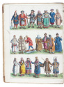
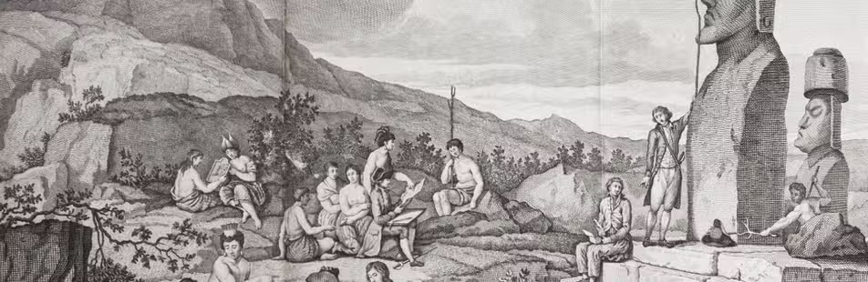
Leipzig, Dyk, 1783. 2 volumes. 4to. With 2 etched hand-coloured frontispieces by Schoenberg (coloured by Capieux), and several delicate engraved head- and tailpieces in the text by C.M. Roth. Contemporary half calf, sprinkled boards. [4], XII, [5], [1 blank], 271, [1 blank]; [2], 273-530, [10] pp. Full description
€ 4,500
Order Inquire Terms of sale

Rare 16th-century treatise pointing out the interaction between astronomy and geography

GIRAULT, Simon. Globe du monde contenant un bref traité du ciel & de la terre.
Langres, Jean des Preyz, 1592. 4to. With a woodcut on the title-page showing an armillary sphere, 3 woodcut folding plates of the solar system, a celestial chart in two hemispheres and a (terrestrial) map of the world in two hemispheres, 4 woodcut maps in the text (including a map of Europe), many astronomical and cosmographical woodcut figures and tables in the text and woodcut head- and tailpieces and initials. 18th-century half brown sheepskin, brown paper sides. 92 ll. Full description
€ 18,000
Order Inquire Terms of sale
784 books found / Show all