Categories
Shopping cart (0 items € 0)
Advanced search

Cartography, Exploration & Voyages / Atlases, Charts, Maps & Globes

First edition of the Pilote du Bresil, the first scientific large format sea atlas of Brazil,
bound for the Crown Prince of France

ROUSSIN, Albin Reine. Le pilote du Brésil, ou description des côtes de l'Amerique Meridionale, située entre l'ile Santa Catarina et celle su Maranhao; cartes et plans de ces cotres et instructions pour naviguer dans les mers du Brésil.
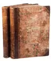
Paris, Imprimerie Royale, 1826. 2 parts in 1 volume. Folio (67.5 x 51 cm). With 2 leaves in fine manuscript and 16 charts on 15 copper-engraved plates (14 of which are double page). Contemporary elaborately god-tooled red morocco, featuring nautical motifs and the monogram "FO", being that of Ferdinand-Philippe, Duke of Orléans, gilt edges and marbled endpapers. [4], 40 pp. Full description
€ 45,000
Order Inquire Terms of sale

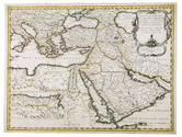
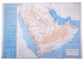
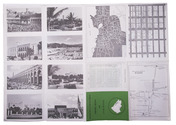
Road map of Saudi Arabia, with plans of Jeddah, Riyadh and Dammam

[SAUDI ARABIA – MAP]. Road map of Saudi Arabia: accurate and most up to date road map.
Karachi, Pakistan, printed at Golden block works, [1970s]. Colour-printed folding map (48 x 69.5 cm) of the Arabian peninsula (scale: ca. 1:5,000,000), with on the back a city map of Jeddah, a plan of the main business quarter of Riyadh, a city plan of Dammam(?), a distance table and 8 photographic city views. Full description
€ 1,750
Order Inquire Terms of sale

The Schenckenschans fortress captured by Spanish mercenaries, illustrated,
and described from the Spanish perspective

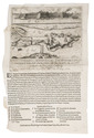
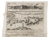
[SCHENCKENSCHANS FORTRESS]. Breve y verdadera, descripcion, del ynexpugnable fuerte Schencken como por yndustria de la gente de su magestad catolica se gano en 28 de julio anno 1635 annos ...
Madrid, printed for the widow of Juan Gonçalez, 1635. Broadsheet (ca. 40 x 26 cm). With a large engraving in the top half of the sheet (20 x 22.1 cm). Full description
€ 4,500
Order Inquire Terms of sale

Hand-coloured heraldic chart of German nobility and clergy

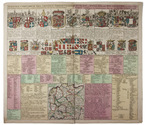
[HERALDIC CHART - GERMANY]. SCHENK, Pieter. Germaniae compendium tria continens imperii collegia forumdemque insignia et sessiones ut et circulorum divisiones una cum suis annotationibus. | Kort begryp van Duytsland, desselfs ryx collegien hunne zittingen en wapens, kreitsverdelingen, en aantekeningen daar op.
Amsterdam, Pieter Schenk, [1707]. Engraved chart (50 x 57) on a single sheet of paper (52.5 x 61 cm), coloured by a contemporary hand, depicting various coats of arms and including a small map (15.5 x 15.5 cm) of Germany. Full description
€ 350
Order Inquire Terms of sale

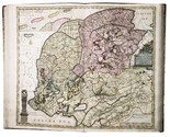
Spectacular atlas of Friesland, beautifully coloured by a contemporary hand

SCHOTANUS VAN STERRINGA, Bernhard. Uitbeelding der heerlijkheit Friesland; zoo in 't algemeen, als in haare XXX bijzondere grietenijen; ... Nu nieuwelijks met bijgevoegde aangrenzingen, en veel vermeerderingen: nevens d'afteekening van Oud Friesland,...
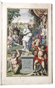
[Leeuwarden], François Halma, 1718. Imperial folio (54.5 x 33 cm). With an engraved allegorical title-page; 3 full-page engraved heraldic plates; and 37 double-page and 2 larger folding engraved maps. Beautiful cartouches and landscapes on all maps, mostly by Jan and Caspar Luyken, all beautifully coloured by a contemporary hand. Contemporary red half roan, later cloth corners and reinforcing. [4] pp. plus plates. Full description
€ 12,500
Order Inquire Terms of sale

Finely executed Royal Naval Academy exercises by the teenage future Admiral,
Charles Sotheby 493 pages including nautical charts, fortification plans,
astronomical diagrams, topographic views, etc.

SOTHEBY, Charles. [Engraved title page:] A plan of mathematical learning taught in the Royal Academy Portsmouth performed by [in pencil: Charles Sotheby] a student there.
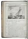
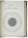
[Portsmouth], "177 " [recté 1795-1798]. 2 volumes. Imperial 4to (37.5 x 27 cm). Manuscript school exercises with a pre-printed engraved title-page with a blank space for the student to add his name, with 4 full-page and 1 larger folding nautical charts (some partly in colour), 7 full-page fortification plans (in black ink with 1 to 3 colours), 4 full-page astronomical diagrams (2 also with yellow), a full-page compass rose, 23 pen and ink wash views in the text (9 x 15 cm to 12.5 x 22 cm, 1 also with blue washes), and numerous other diagrams (including maps in the surveying section) and some illustrations in the text. Near contemporary (ca. 1803) blind- and gold-tooled half calf, blue sprinkled edges. Engraved title page + “229” [= 228]; 230-493, [2 blank] pp., with pp. 229 and 493 blank excepting the page numbers. Full description
€ 25,000
Order Inquire Terms of sale

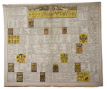
Large chart of European countries and their royal or noble families

[HERALDIC CHART - EUROPE]. [SPECHT, Caspar]. Historische en geographische tafel om te leren een kort begrip vande landen en staaten in Europa haar grootheyt, besitting en alles dat tot onderricht der liefhebbers van de landbeschryvinge dienen kan.
Amsterdam, Cornelis Danckerts II, [ca. 1703-1705]. Engraved chart (47.5 x 57 cm) printed on a single sheet of paper (51.5 x 61 cm), partly hand-coloured, including several coats of arms, with an added title in German engraved just above the image. Full description
€ 250
Order Inquire Terms of sale

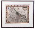
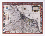
The Seventeen Provinces: a detailed map with additional views of major cities
and examples of local dress

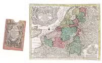
SPEED, John [and Pieter van der KEERE?]. A new mape of ye XVII provinces of Low Germanie.
[London], George Humble, 1626. 41 x 53 cm. Engraved map with hand coloured borders, probably by Pieter van den Keere (1571-after 1646). Incorporating a fine compass-rose with 32 rhumb lines and names of the wind-directions, a coat of arms of France, a title-cartouche, a legend ("A catalogue of the cities et [!] villages in everie Province") and an indication of scale (ca. 1:1.120.000). The map is topped by 8 hand coloured miniature profiles of major cities and bordered by hand coloured figures in local costume at the left (5 male figures) and right (5 female figures). Framed. Full description
€ 4,000
Order Inquire Terms of sale

A bestseller of illustrated 17th-century travel literature, probably printed by Izaak Elzevier

SPILBERGEN, Joris van and Jacob Le MAIRE. Miroir Oost & West-Indical, auquel sont descriptes les deux dernieres navigations, faictes es années 1614. 1615. 1616. 1617. & 1618.
Amsterdam, Johannes Janssonius [printed by Izaak Elzevier?], 1621. Oblong 4to (17.5 x 23 cm). With 24 (of 25) engraved plates, including 5 double-page and 10 larger folding. Modern vellum. [4], 172 pp. Full description
€ 16,500
Order Inquire Terms of sale
171 books found / Show all