BLAEU, Joan.
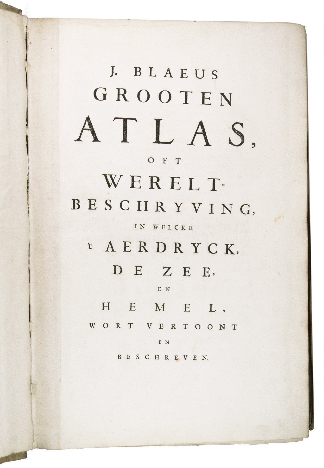
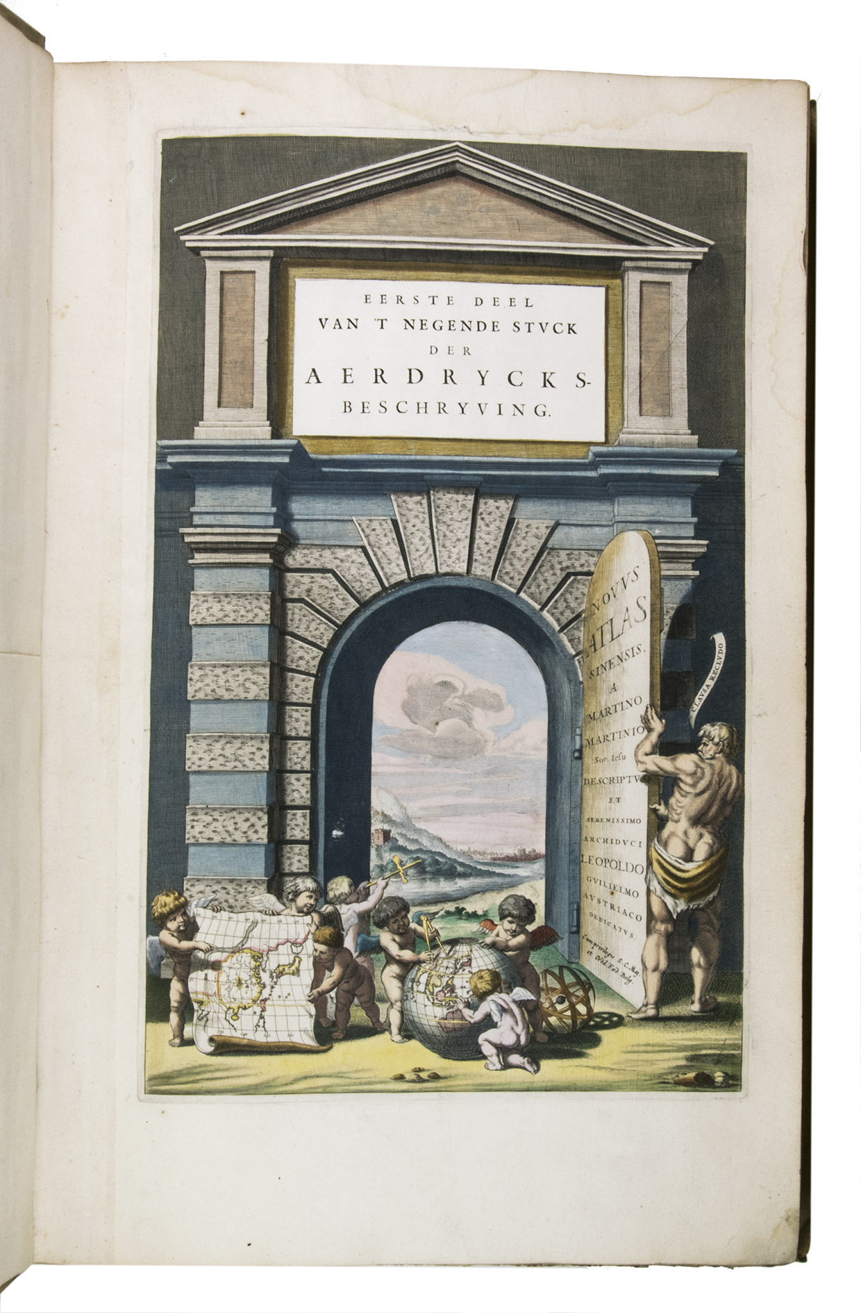
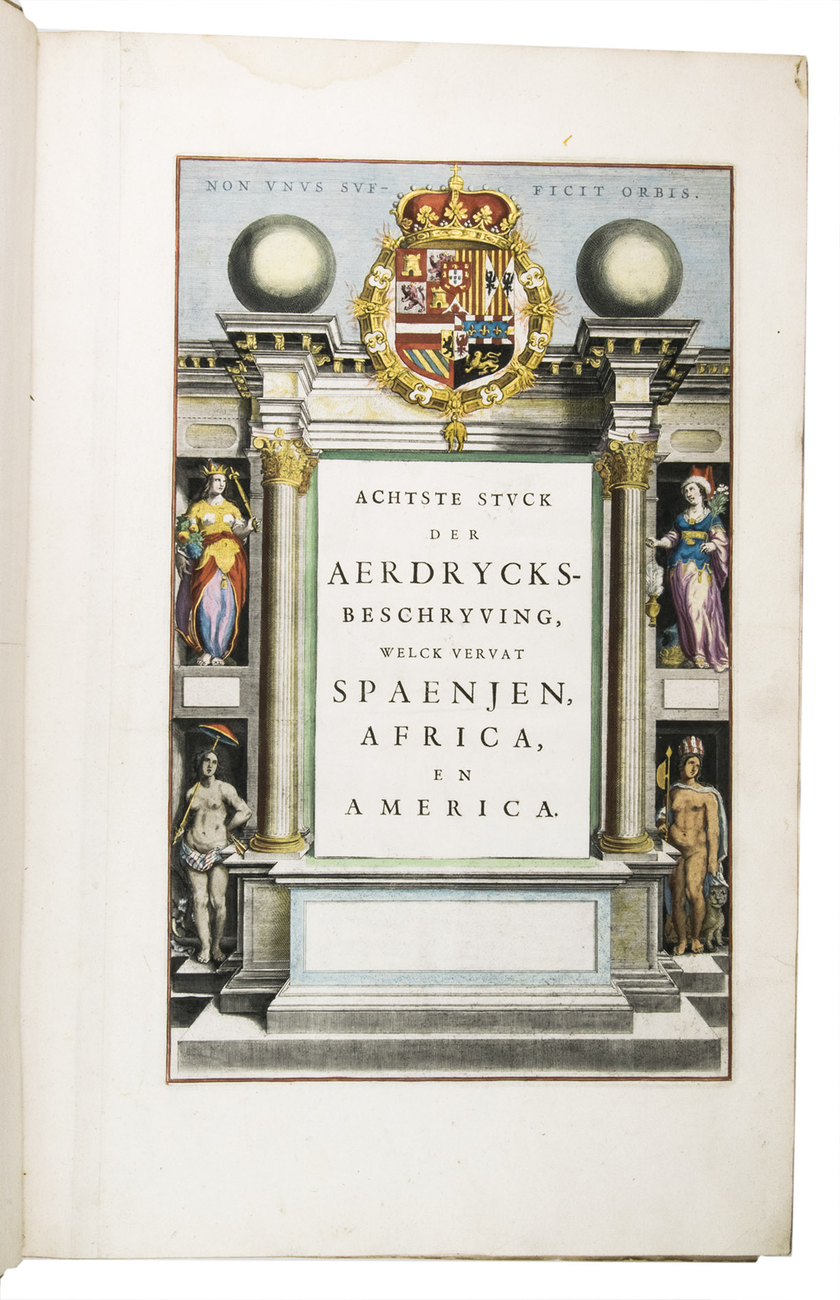
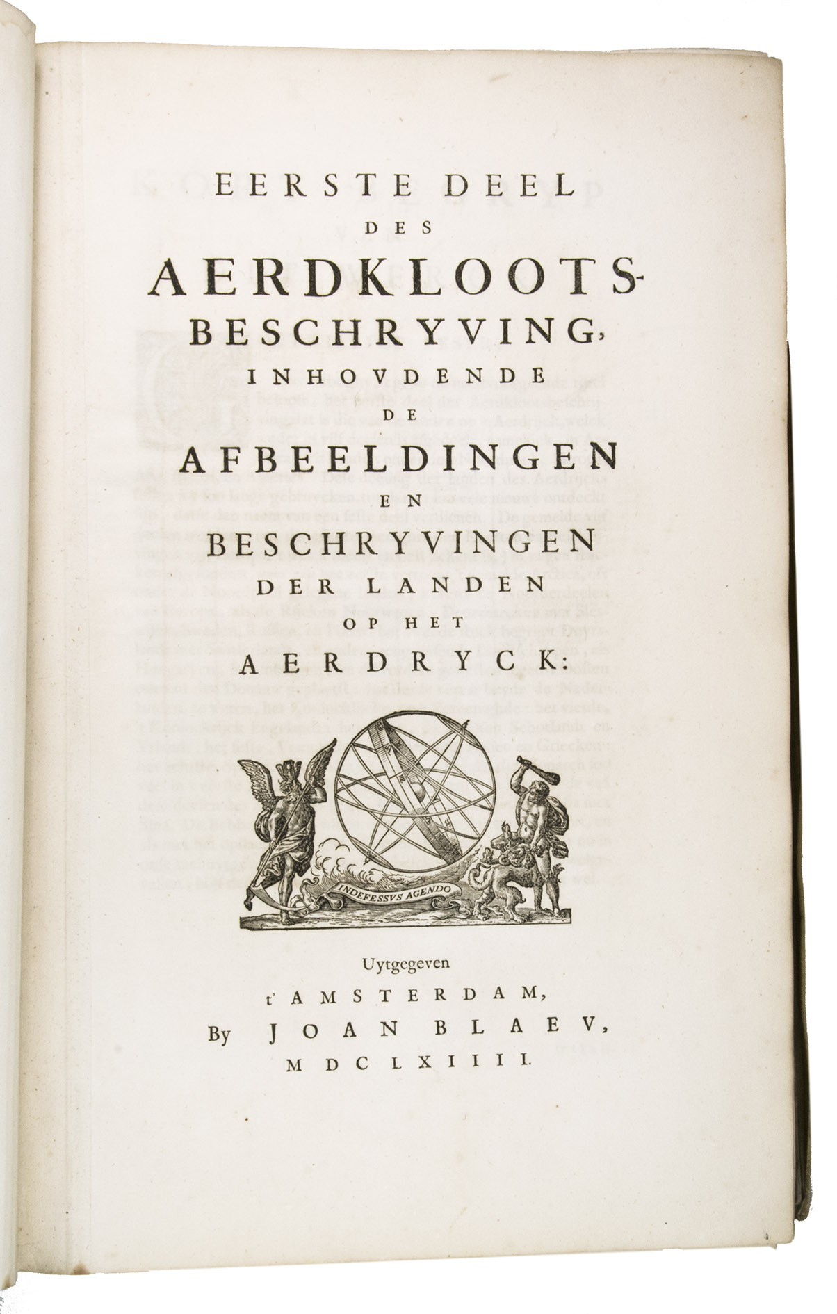
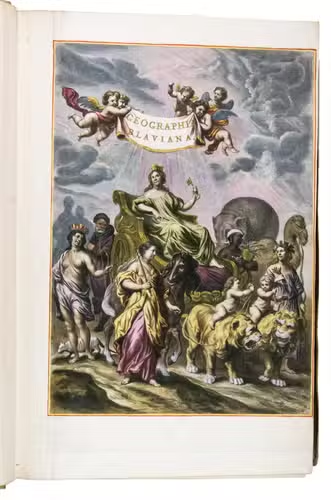
Grooten atlas, oft werelt-beschryving, in welcke t aerdryck, de zee, en hemel, wort vertoont en beschreven.
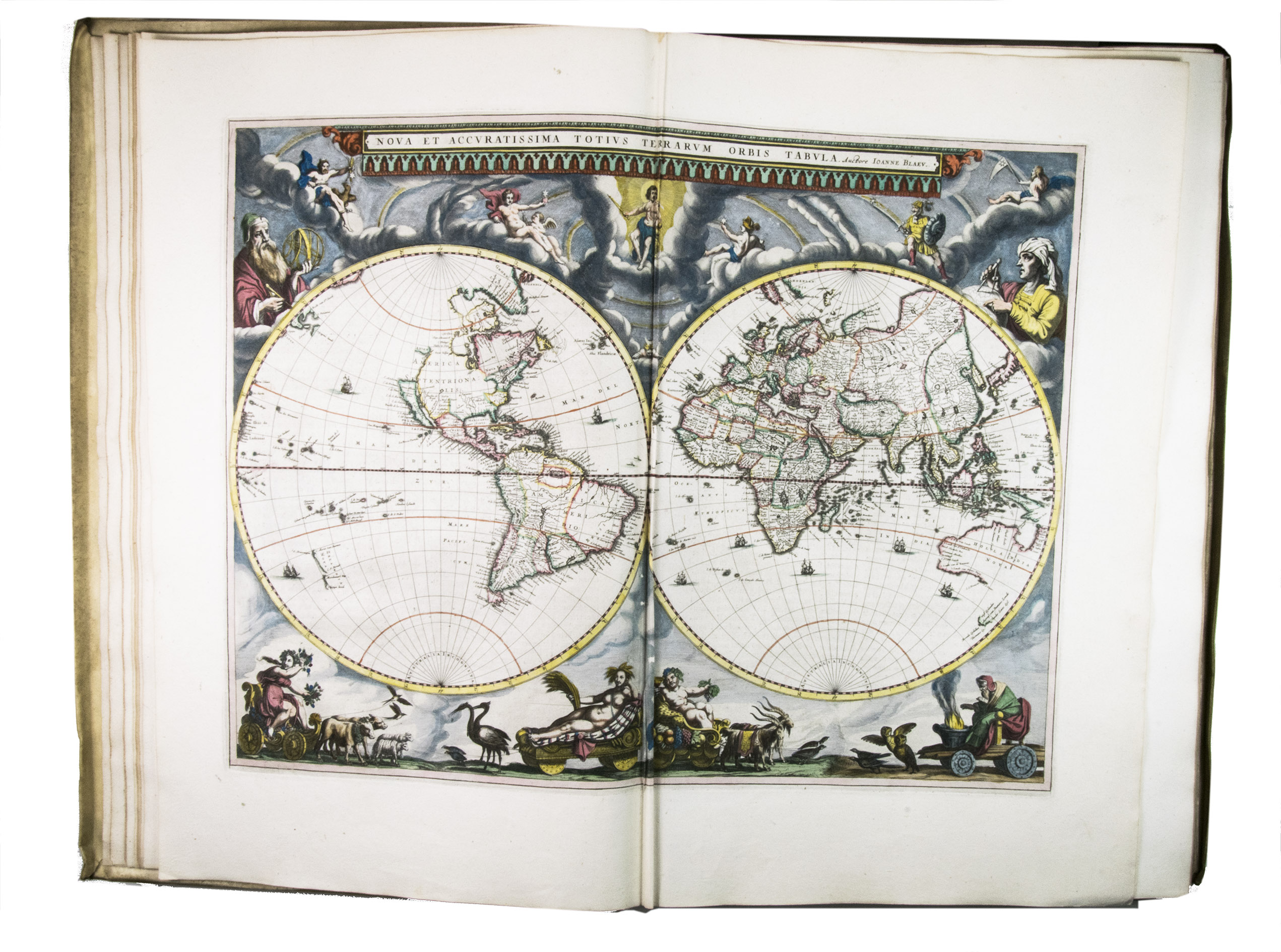
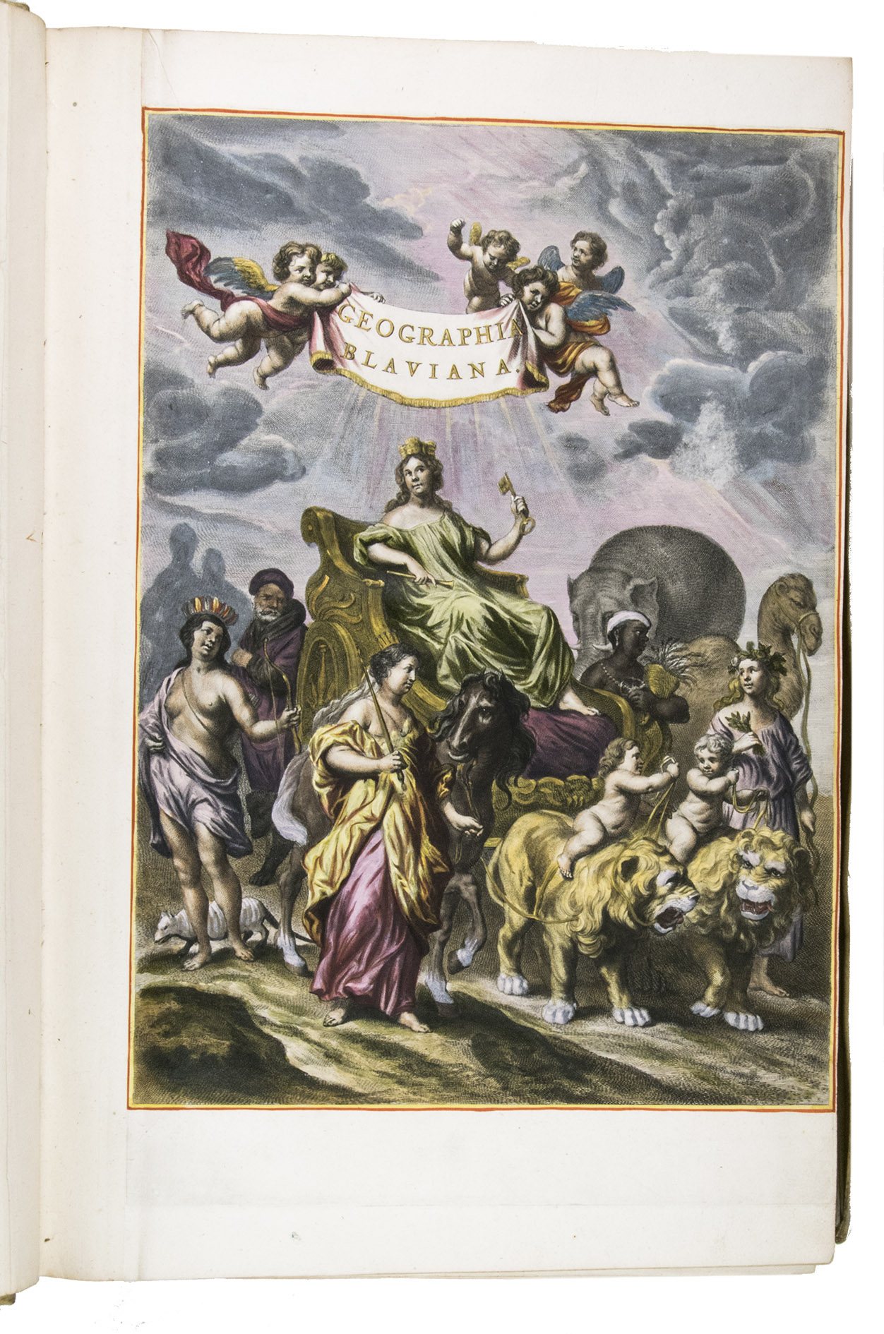
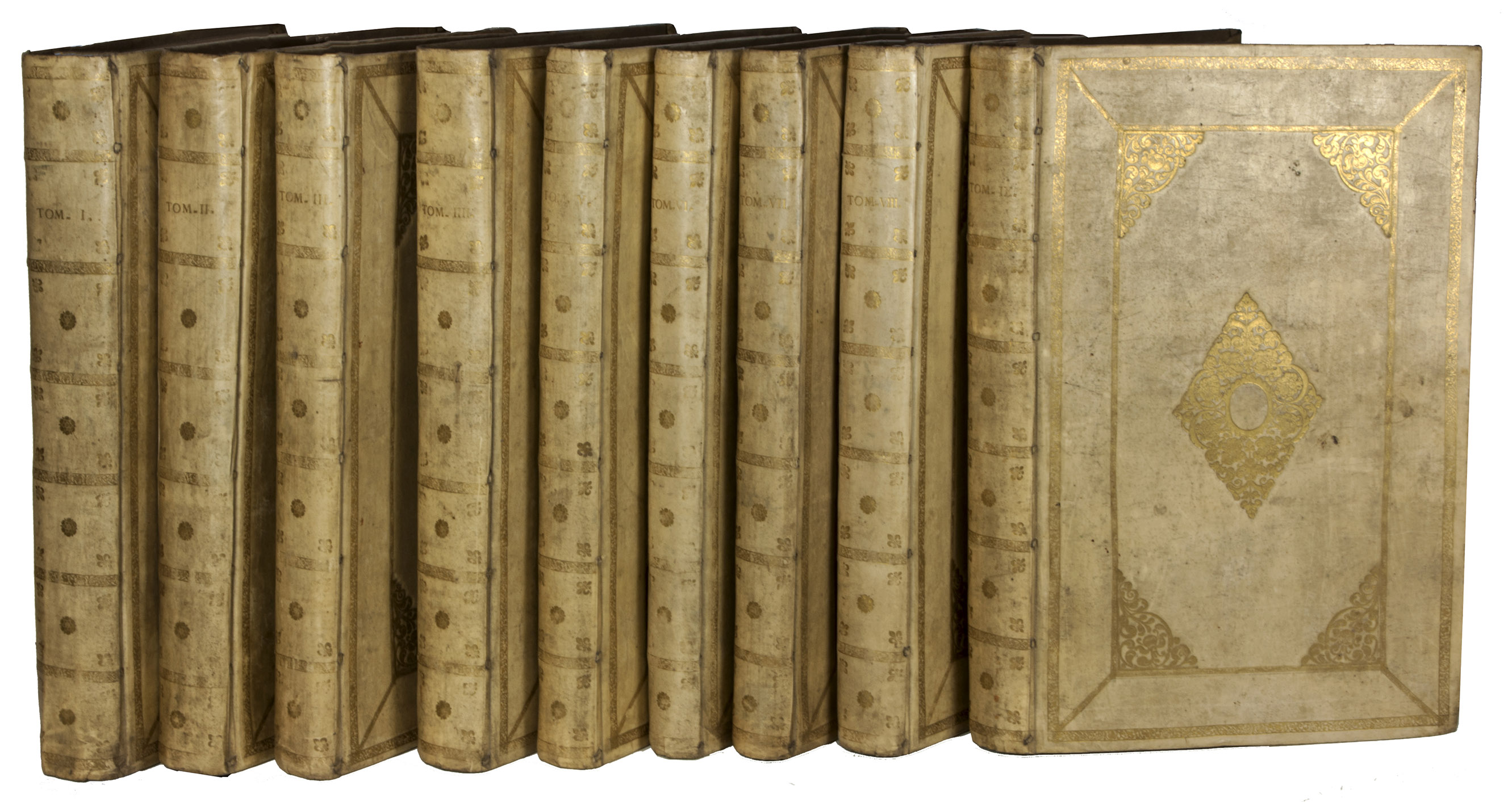
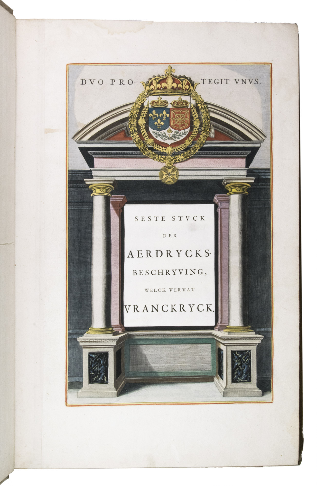
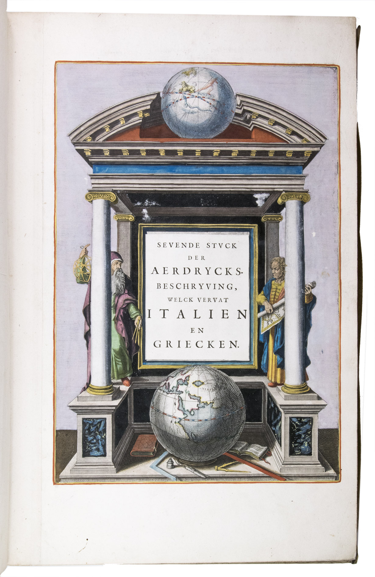
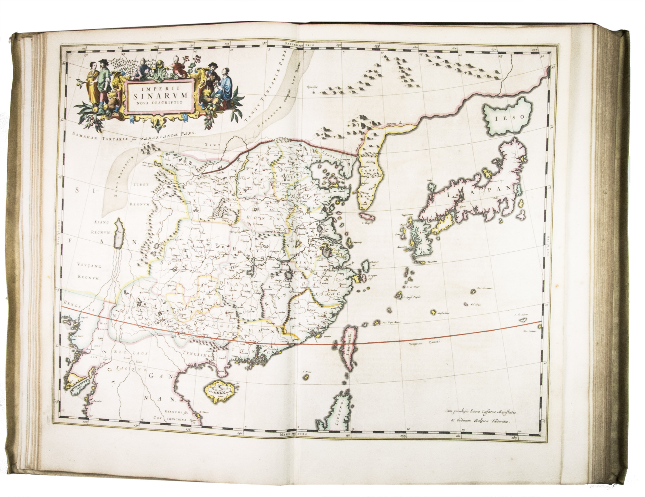
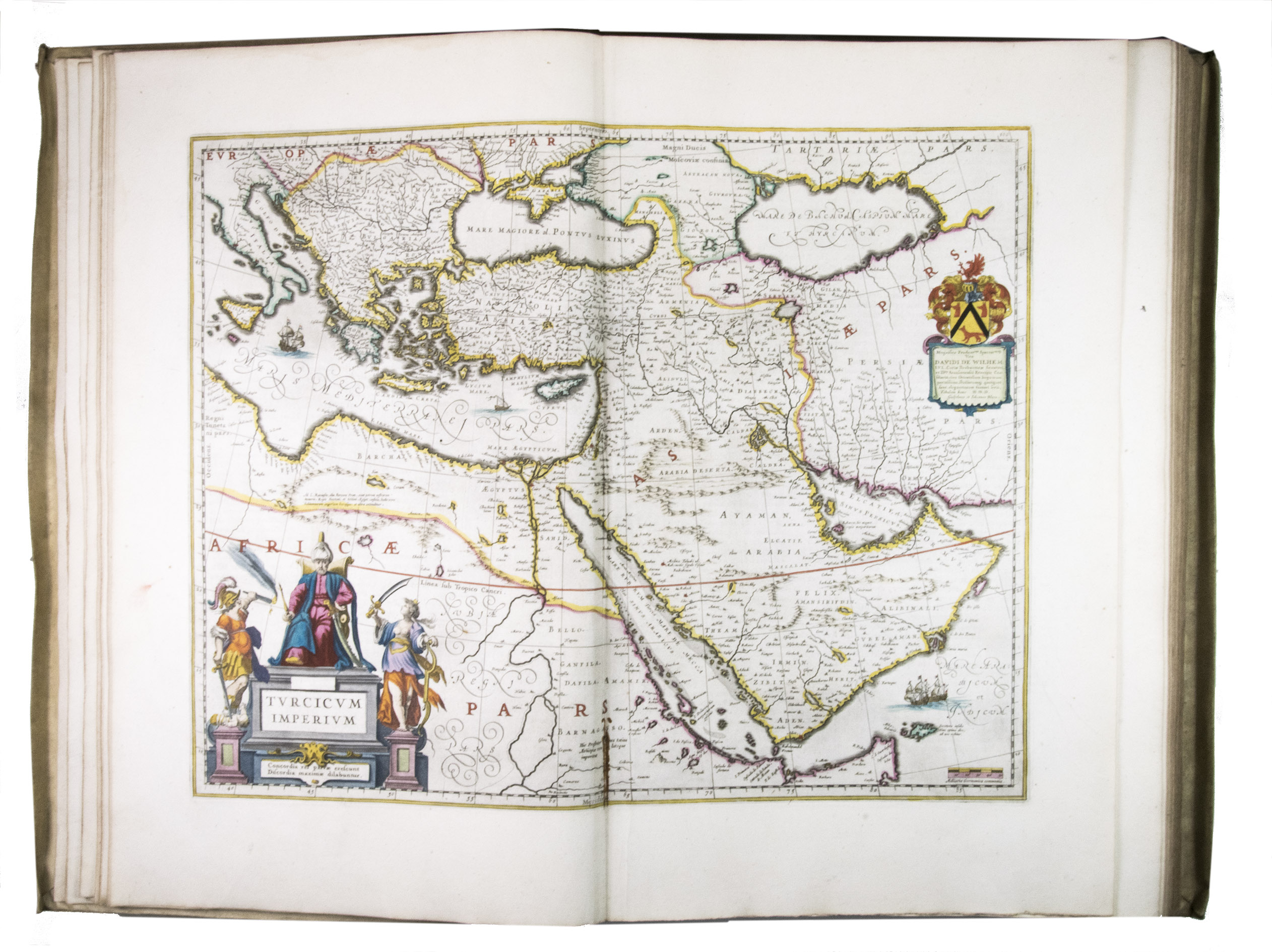
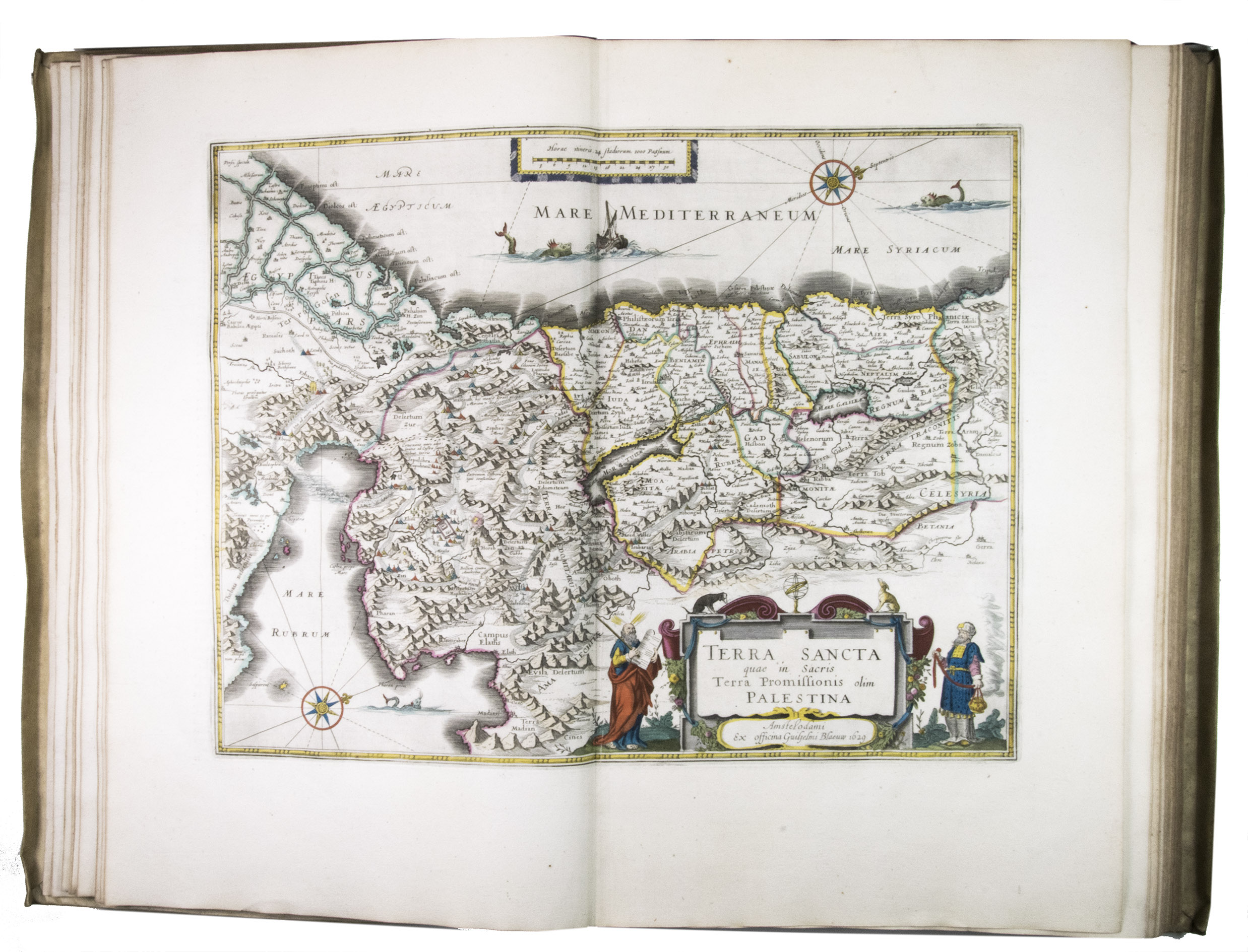
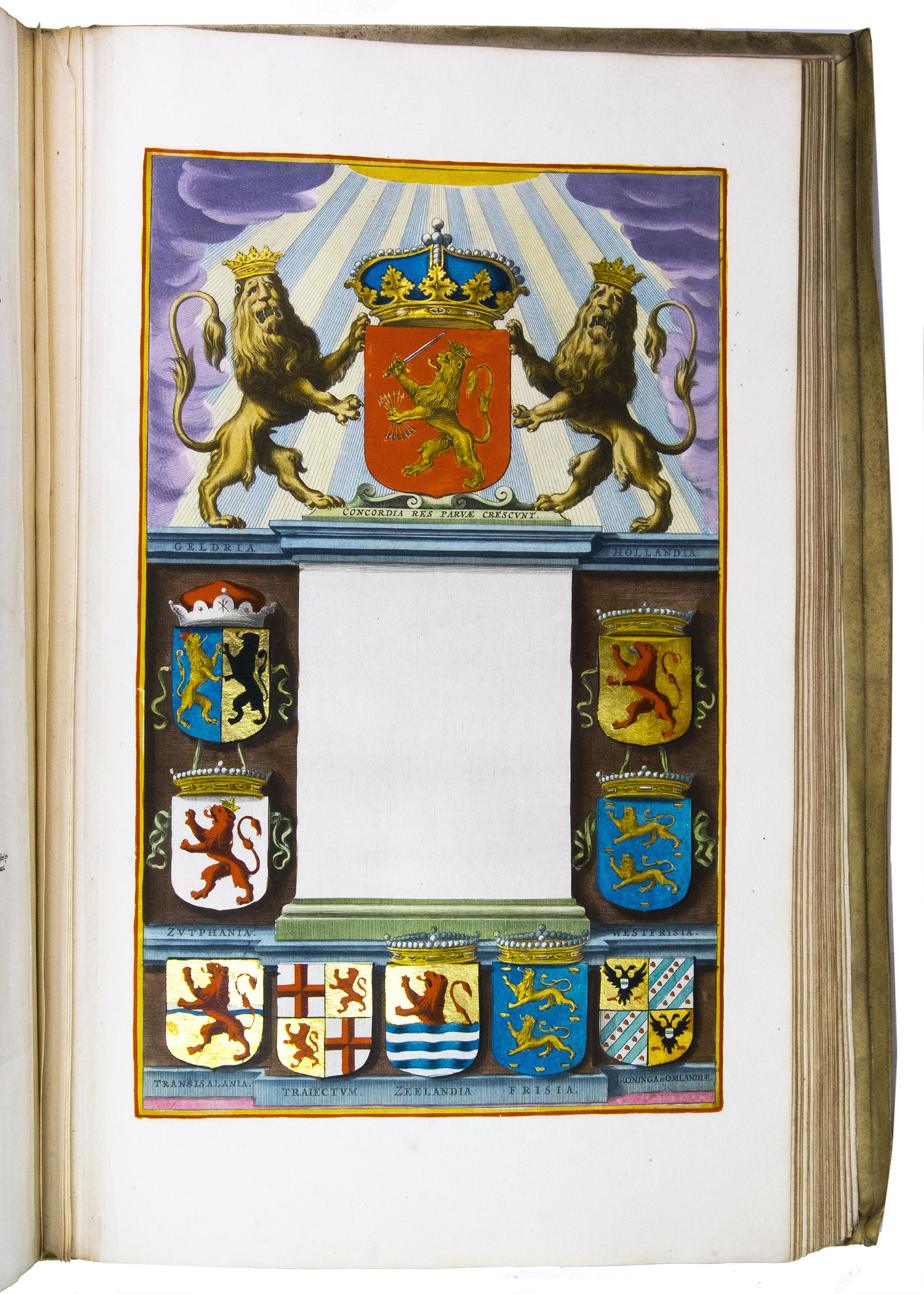
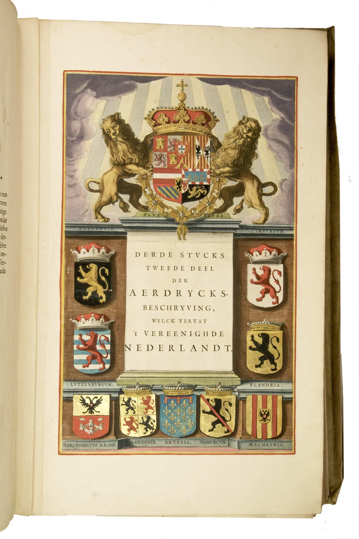
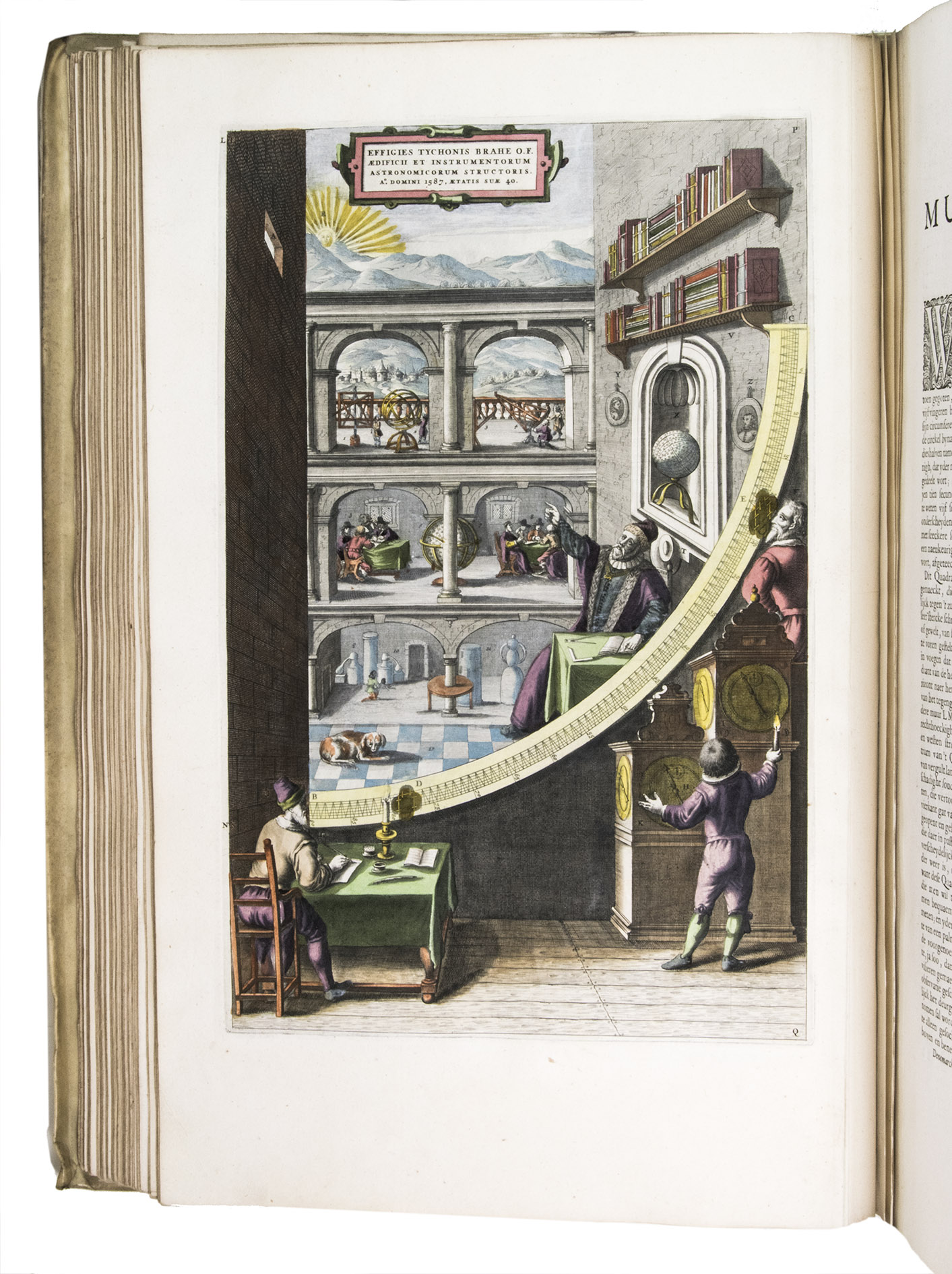
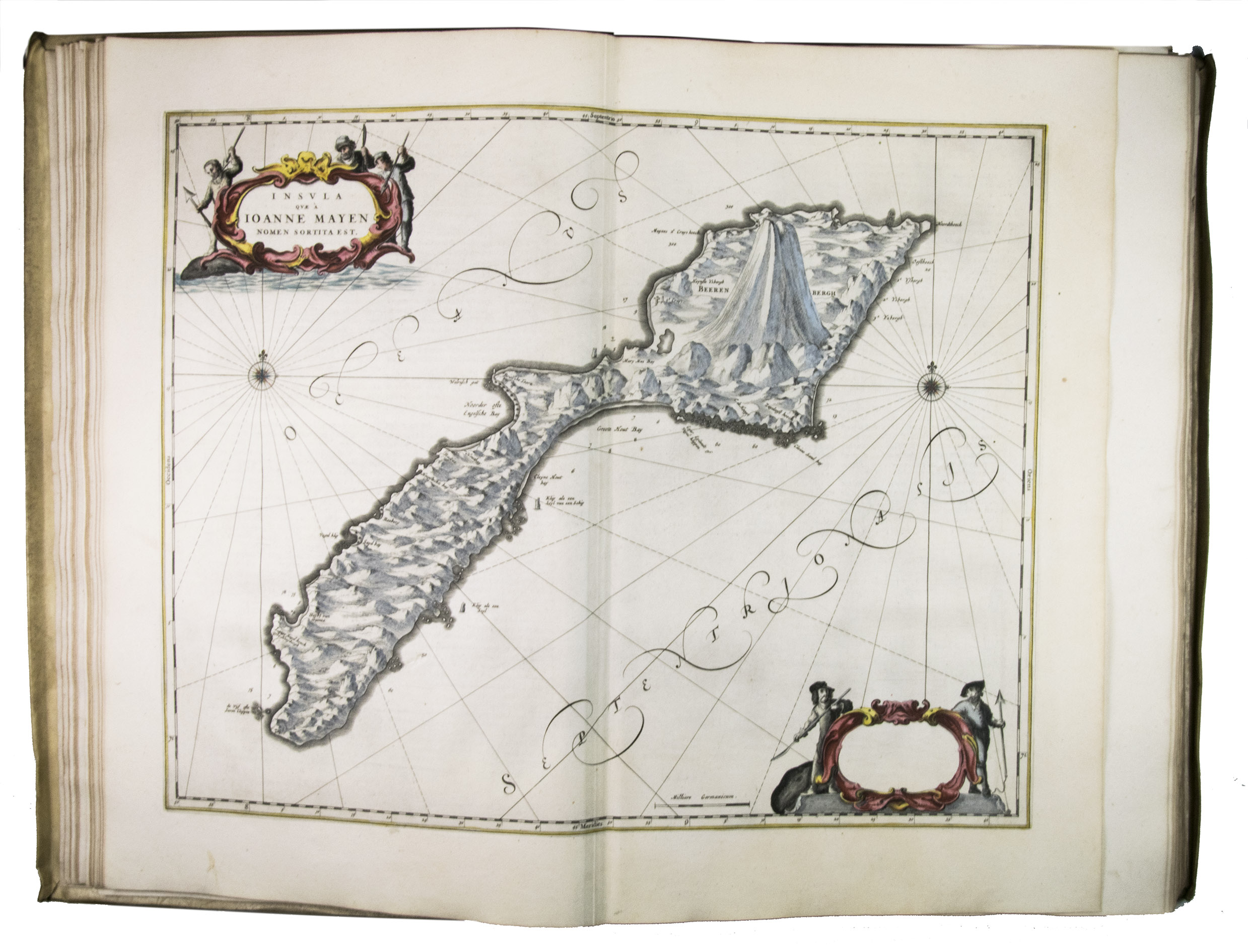
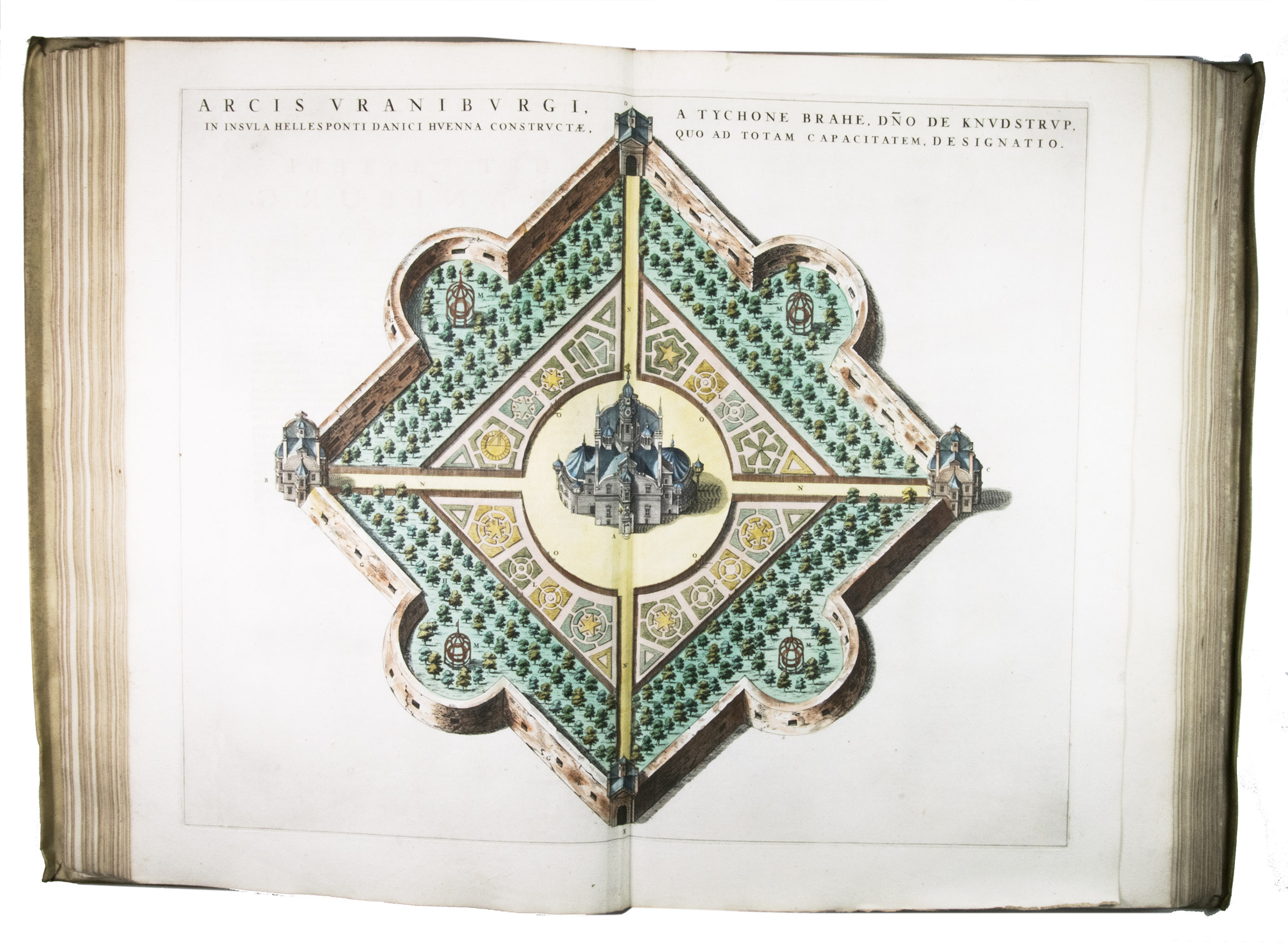
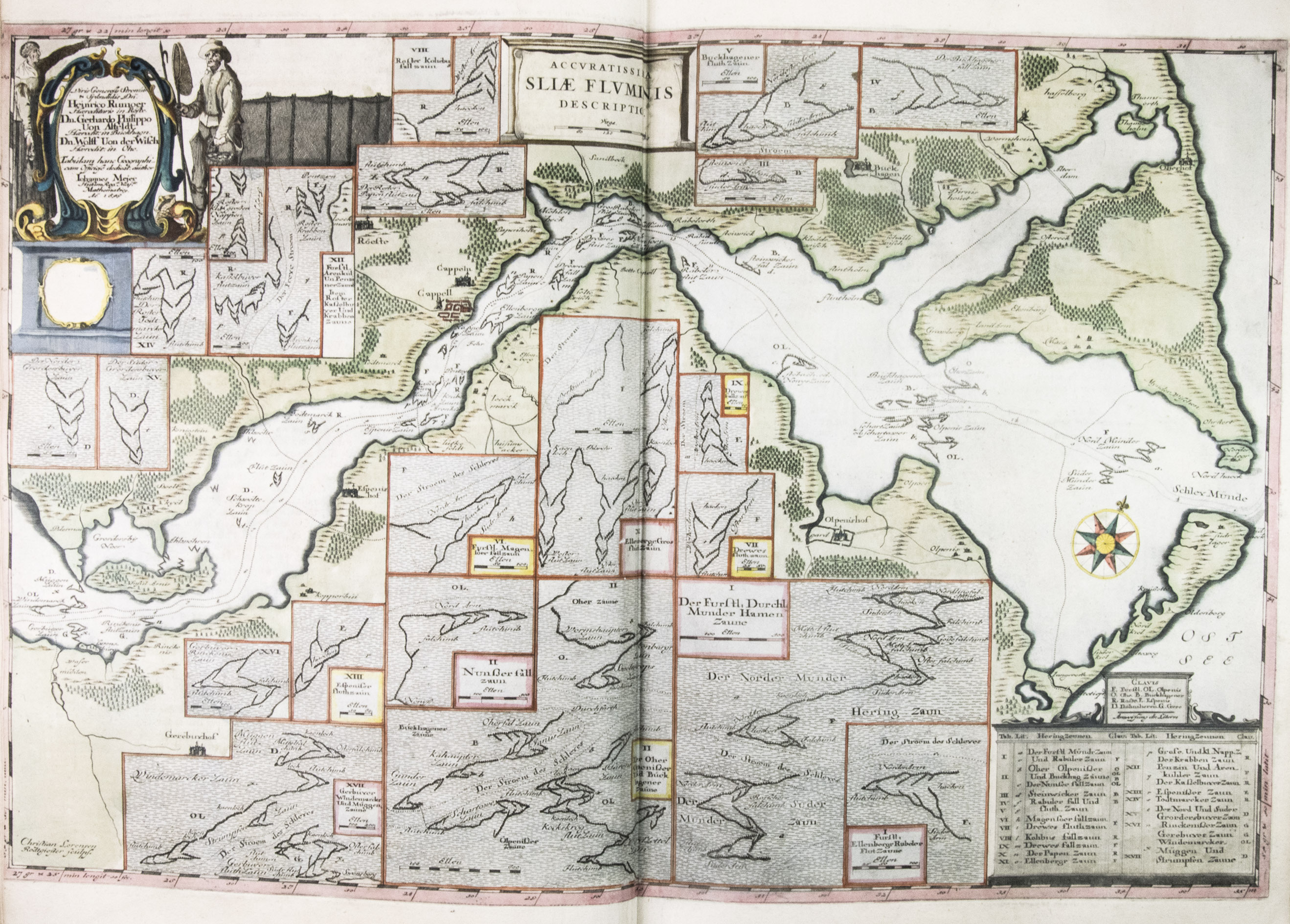
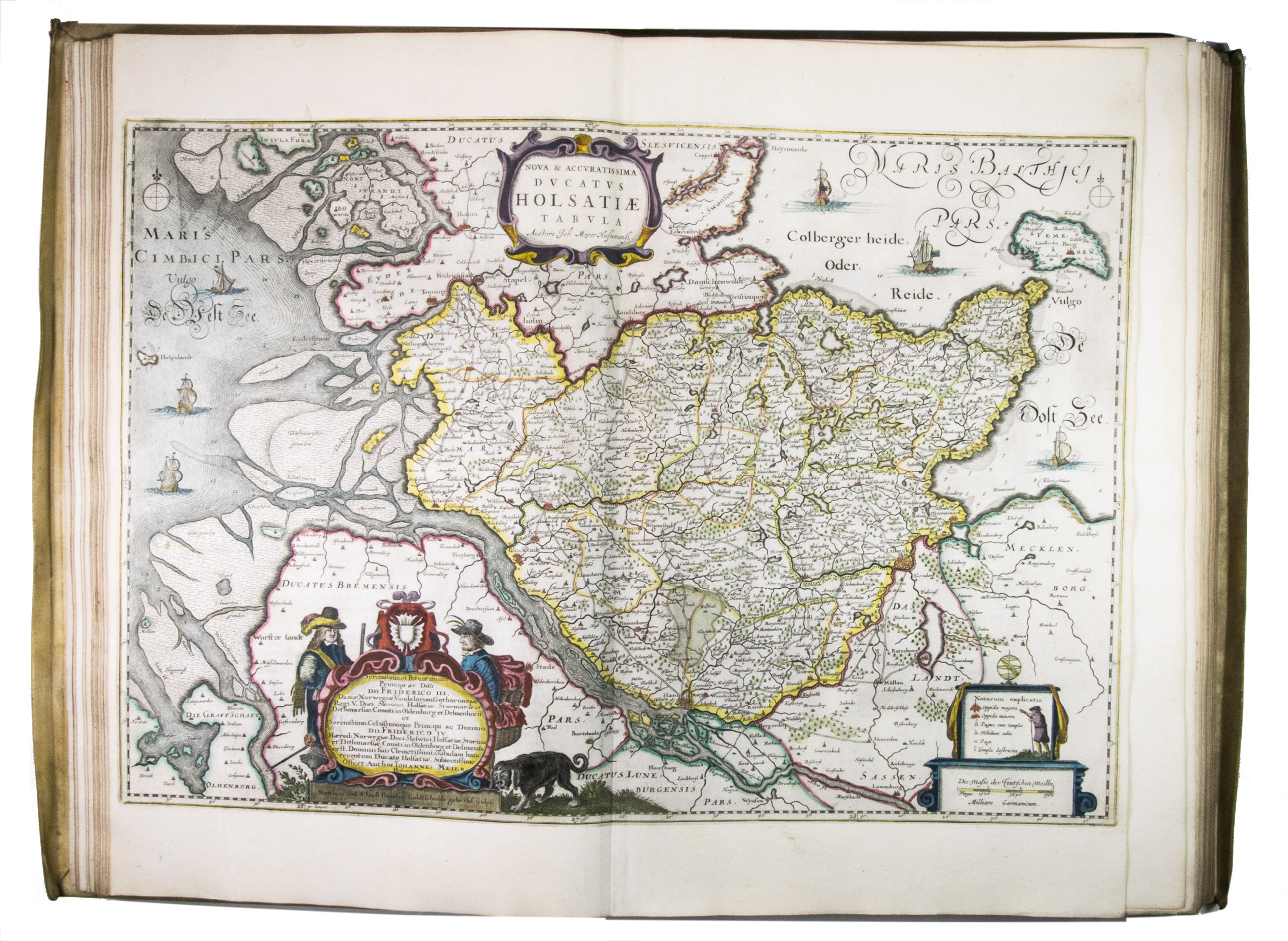
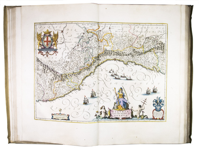
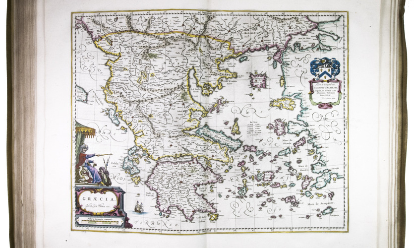
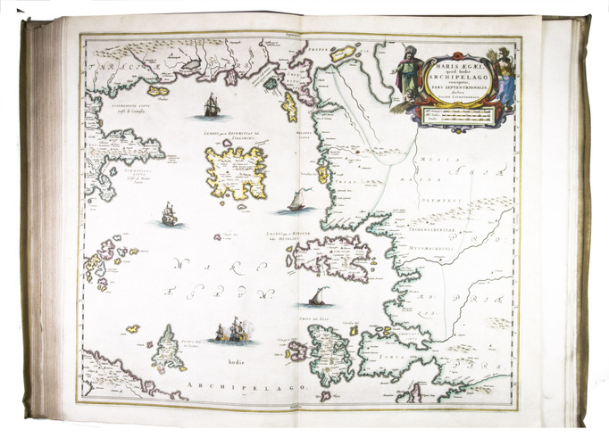
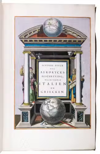
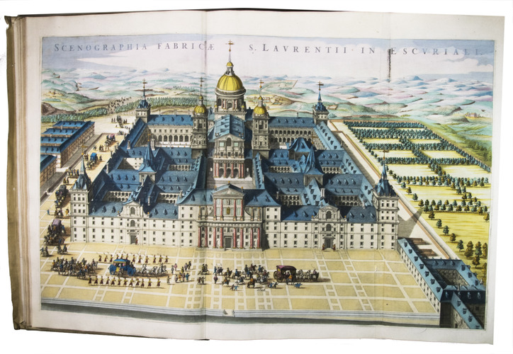
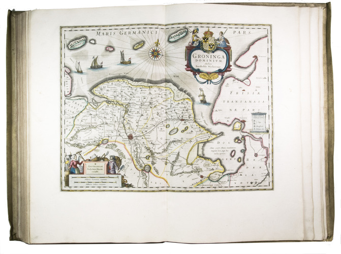
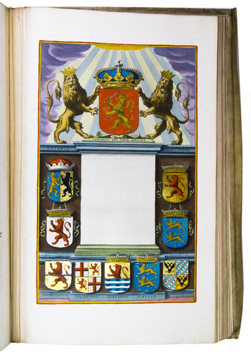
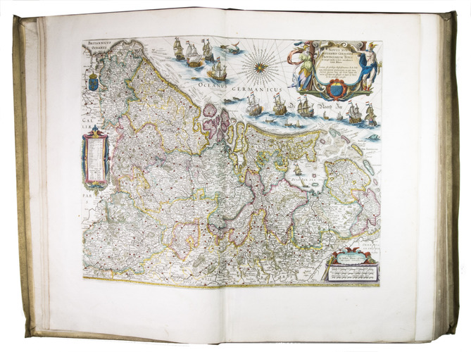
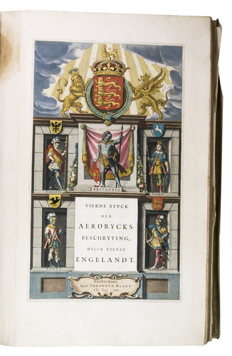
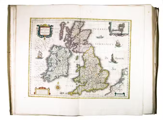
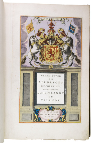
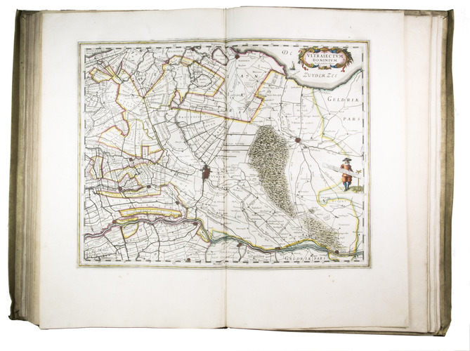
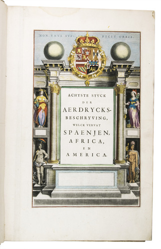
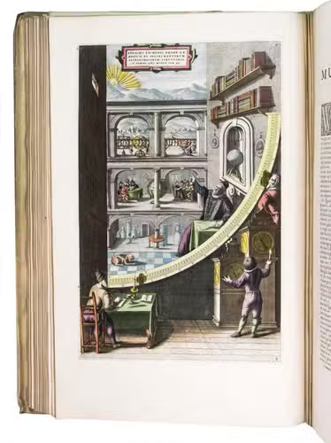
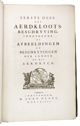
Amsterdam, Joan Blaeu, 1664-1665. 9 volumes. Imperial folio (55.5 × 36.5 cm). With 9 engraved title pages, an engraved frontispiece and 610 engraved maps, views, plans, etc., mostly double-page (53.5 × 64 cm, plate size ca. 42 × 53 cm), 7 larger folding, a few single-page and a few smaller, many including additional inset maps, plans and views, and decorated with coats of arms, human & mythological figures, animals, produce, etc. With the engraved title-pages, frontispiece, other engravings (except for the compass rose and 2 inscriptions), woodcut devices on 4 title-pages and 1 woodcut initial coloured by a contemporary hand (the maps mostly in outline but with their decorations fully coloured) and some (mostly the engraved title-pages) with extensive use of gold. Contemporary gold-tooled vellum.
€ 675,000
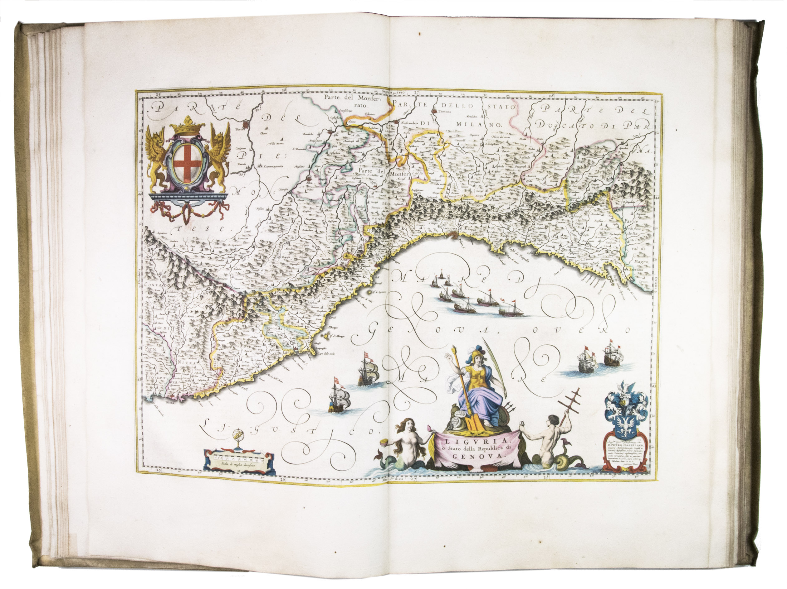
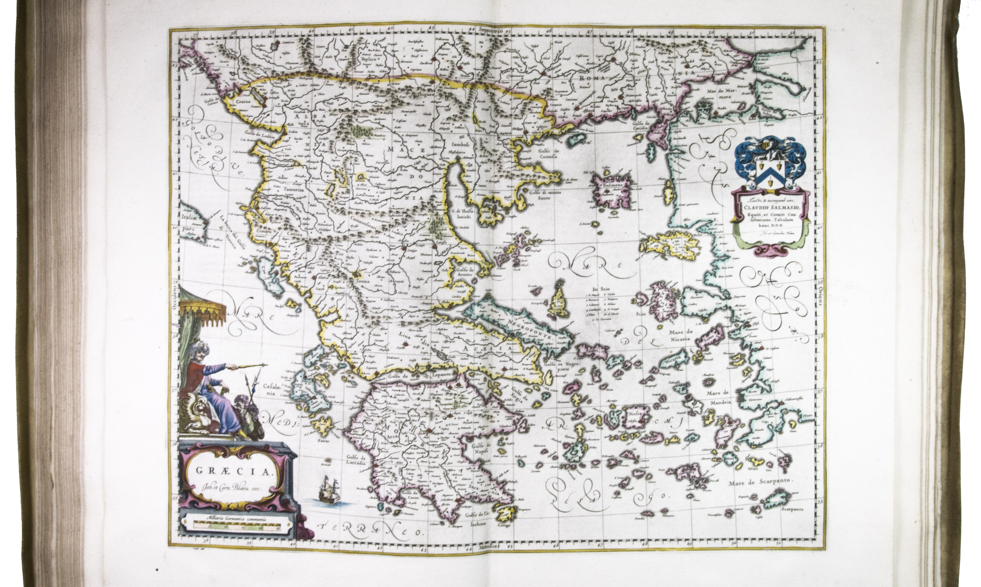
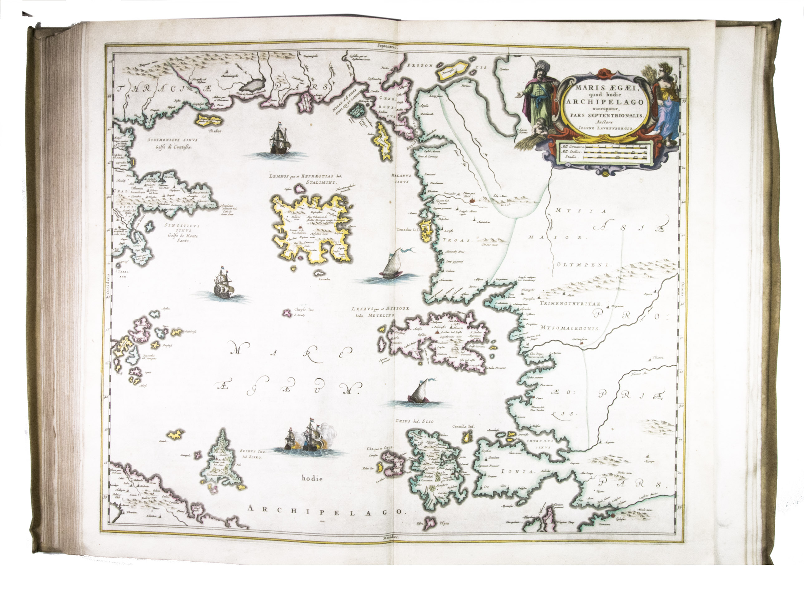
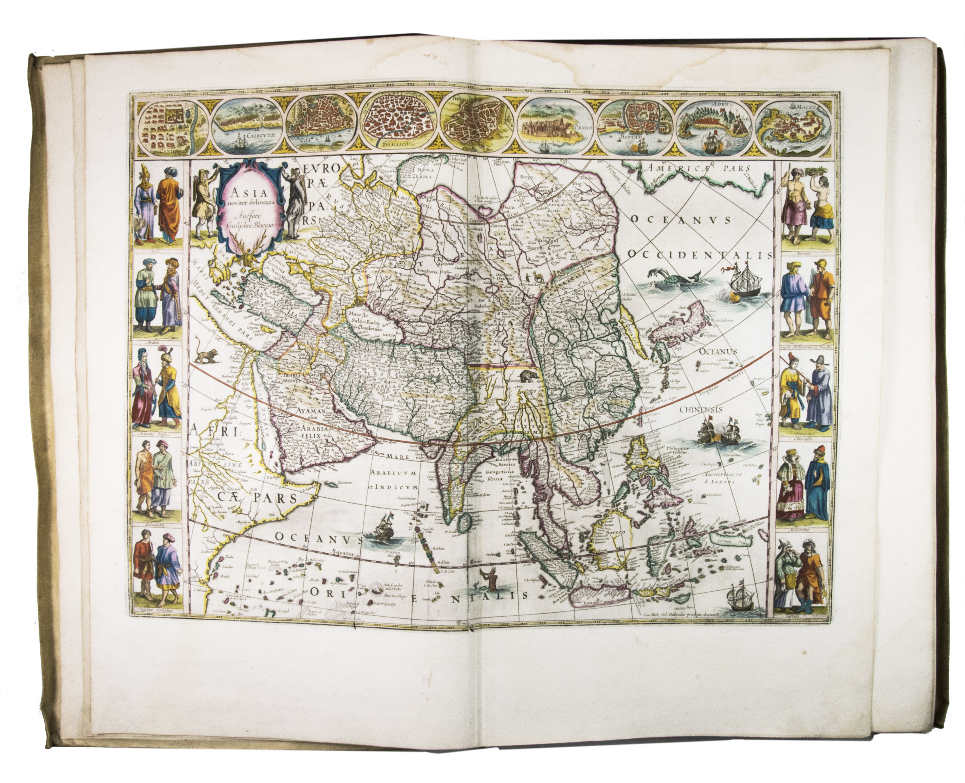
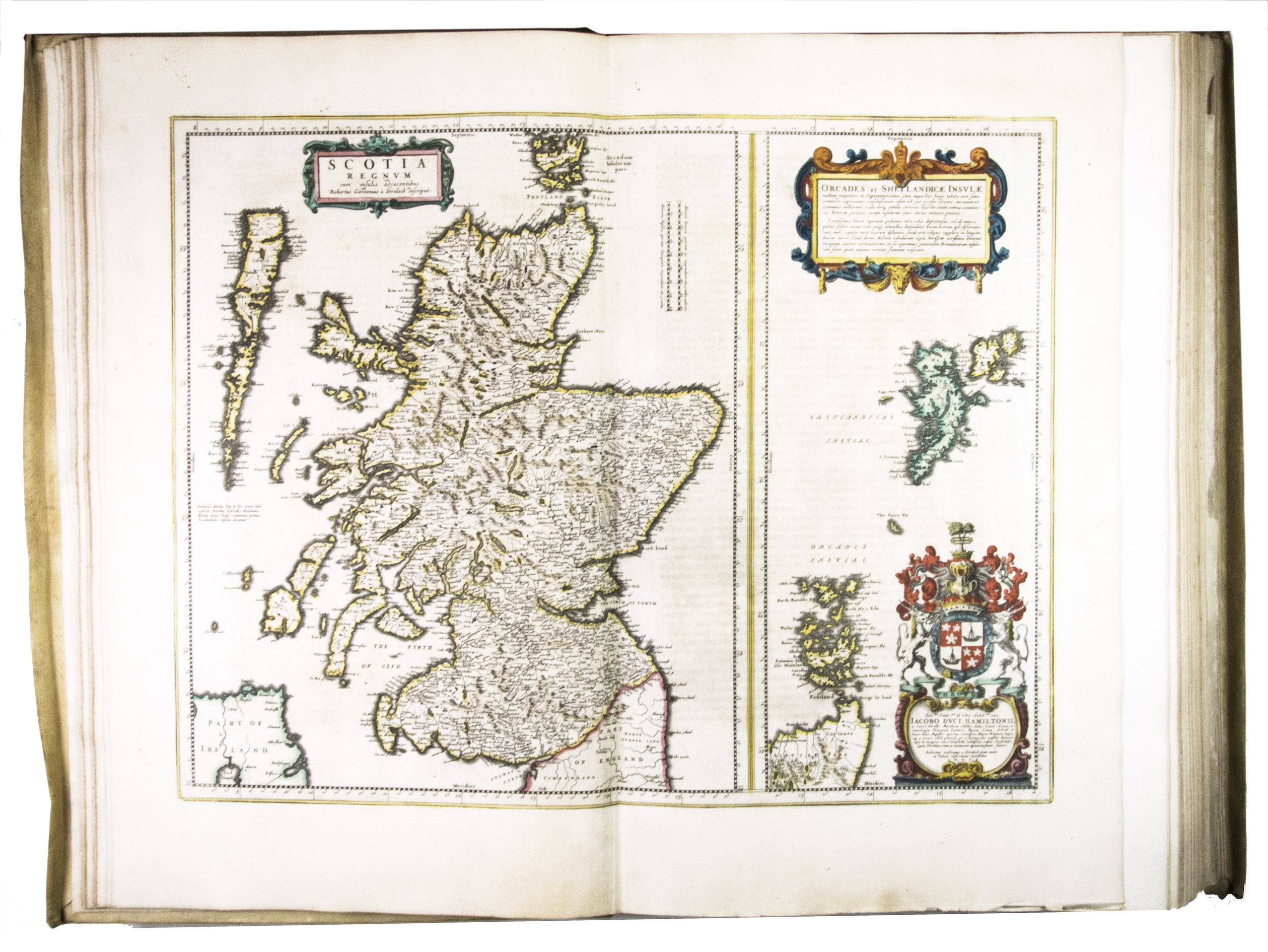
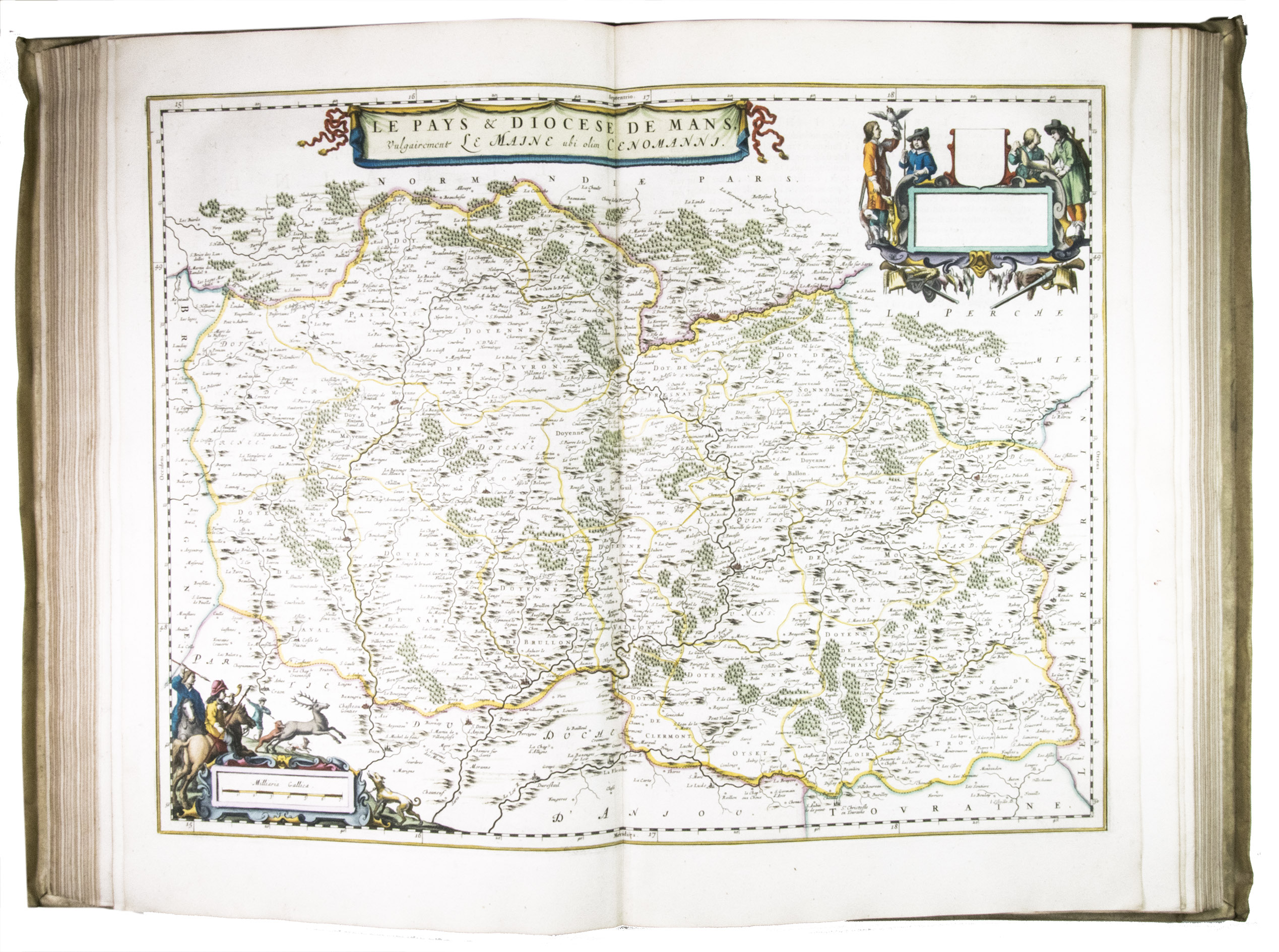
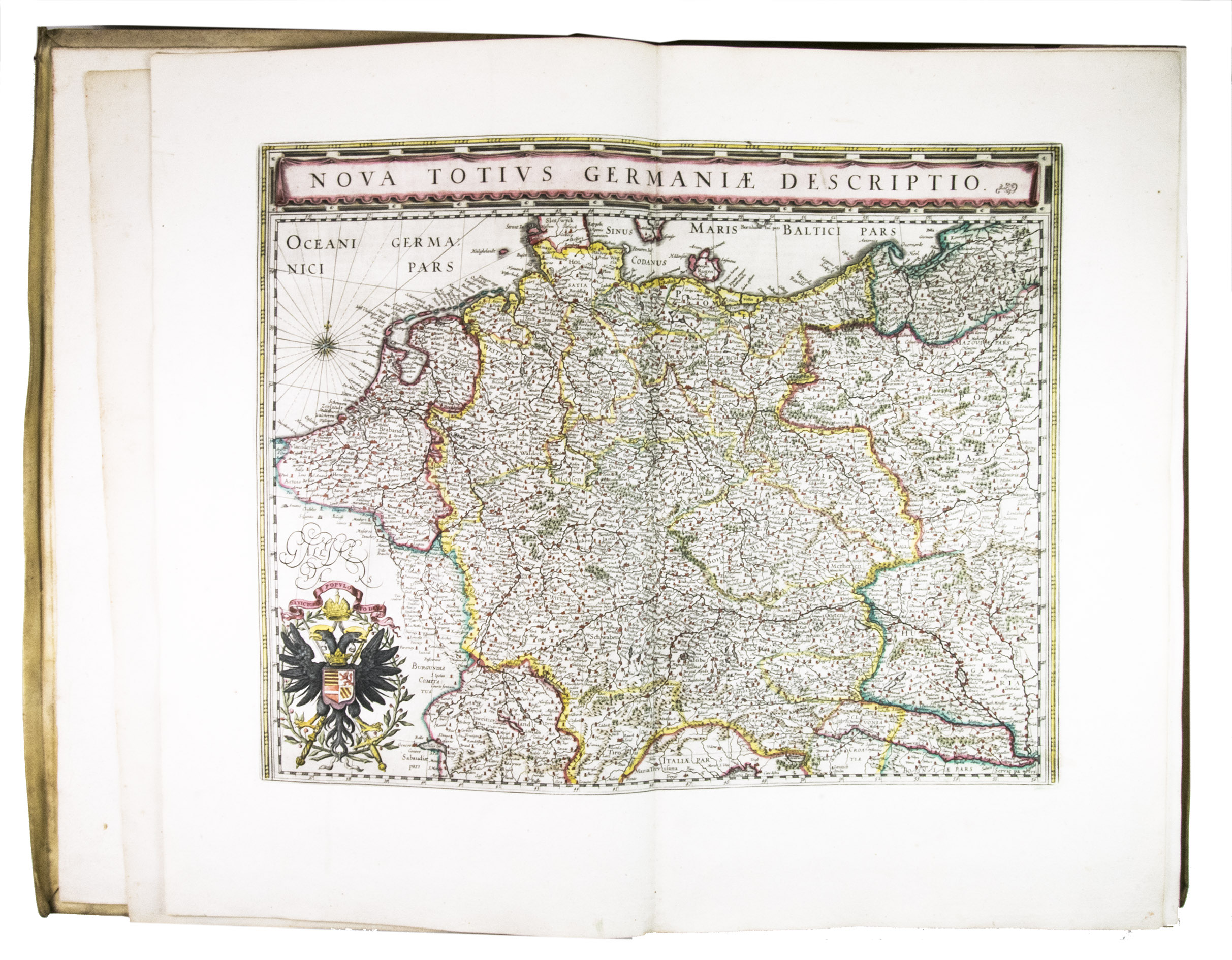
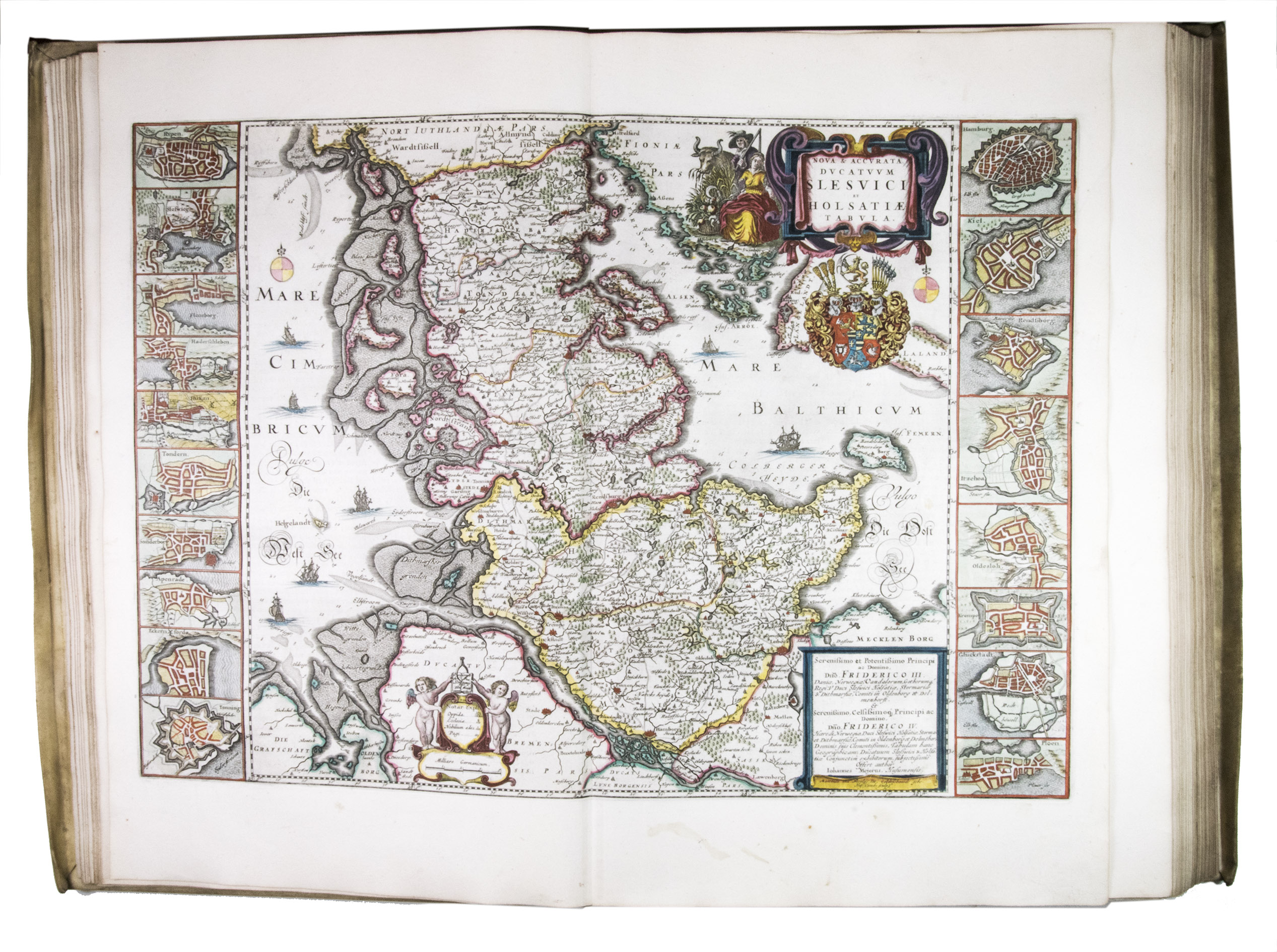
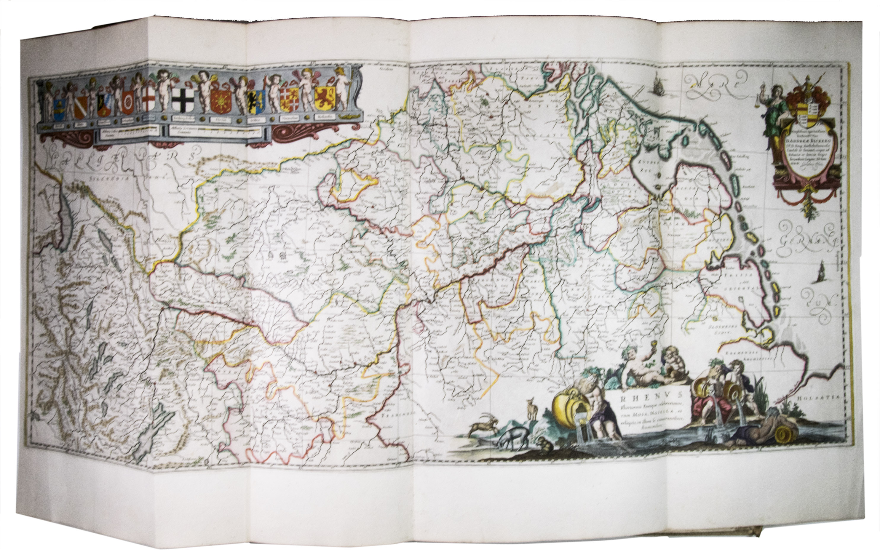
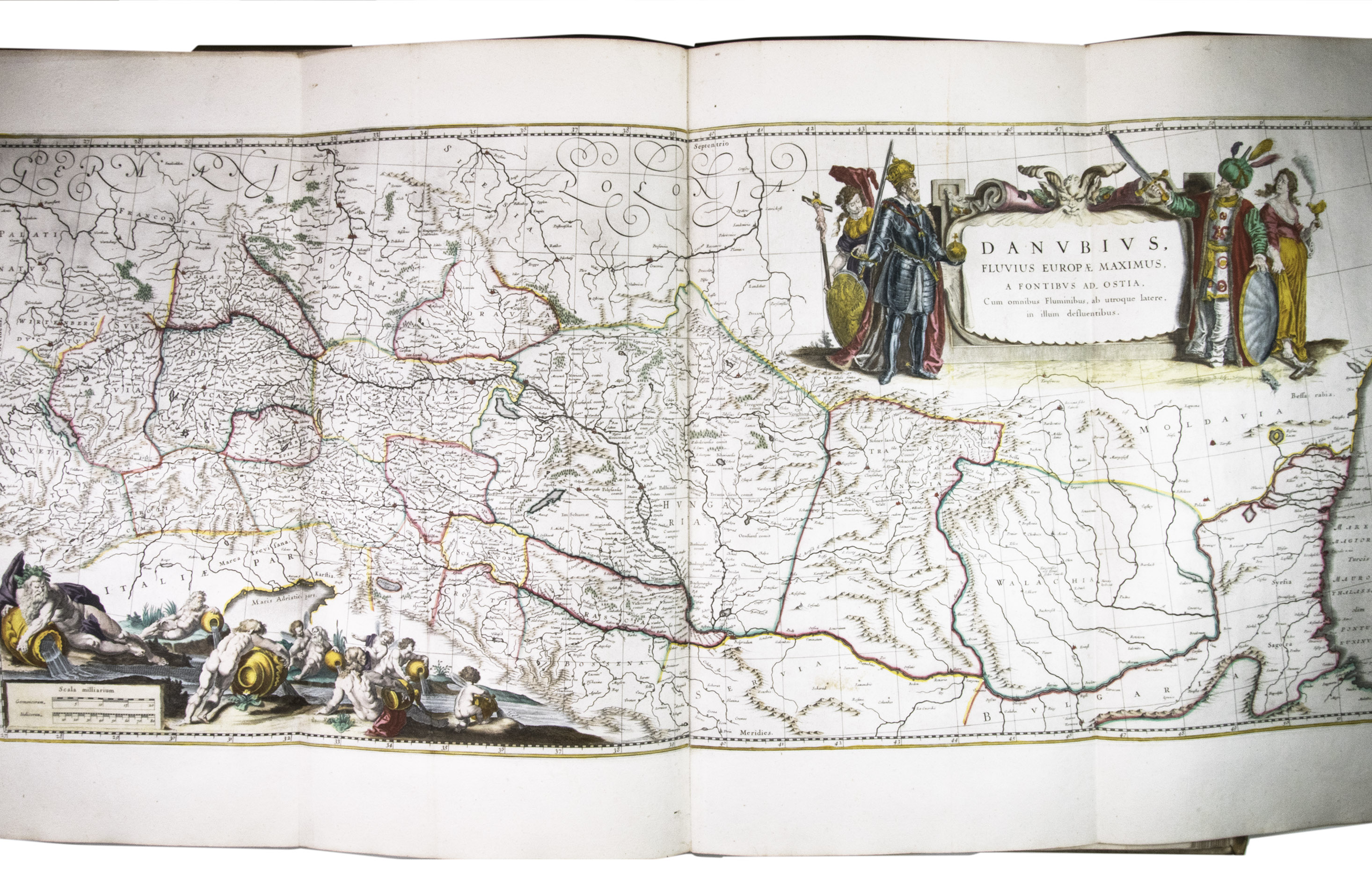
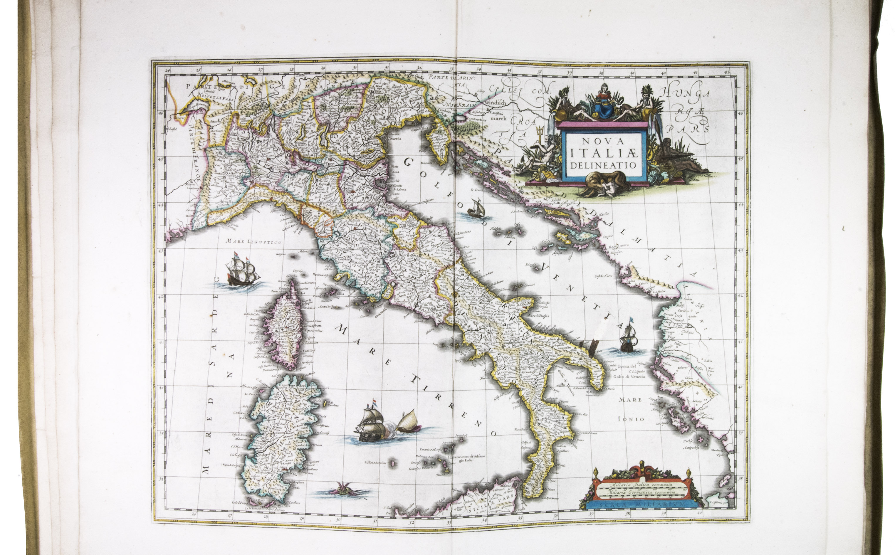
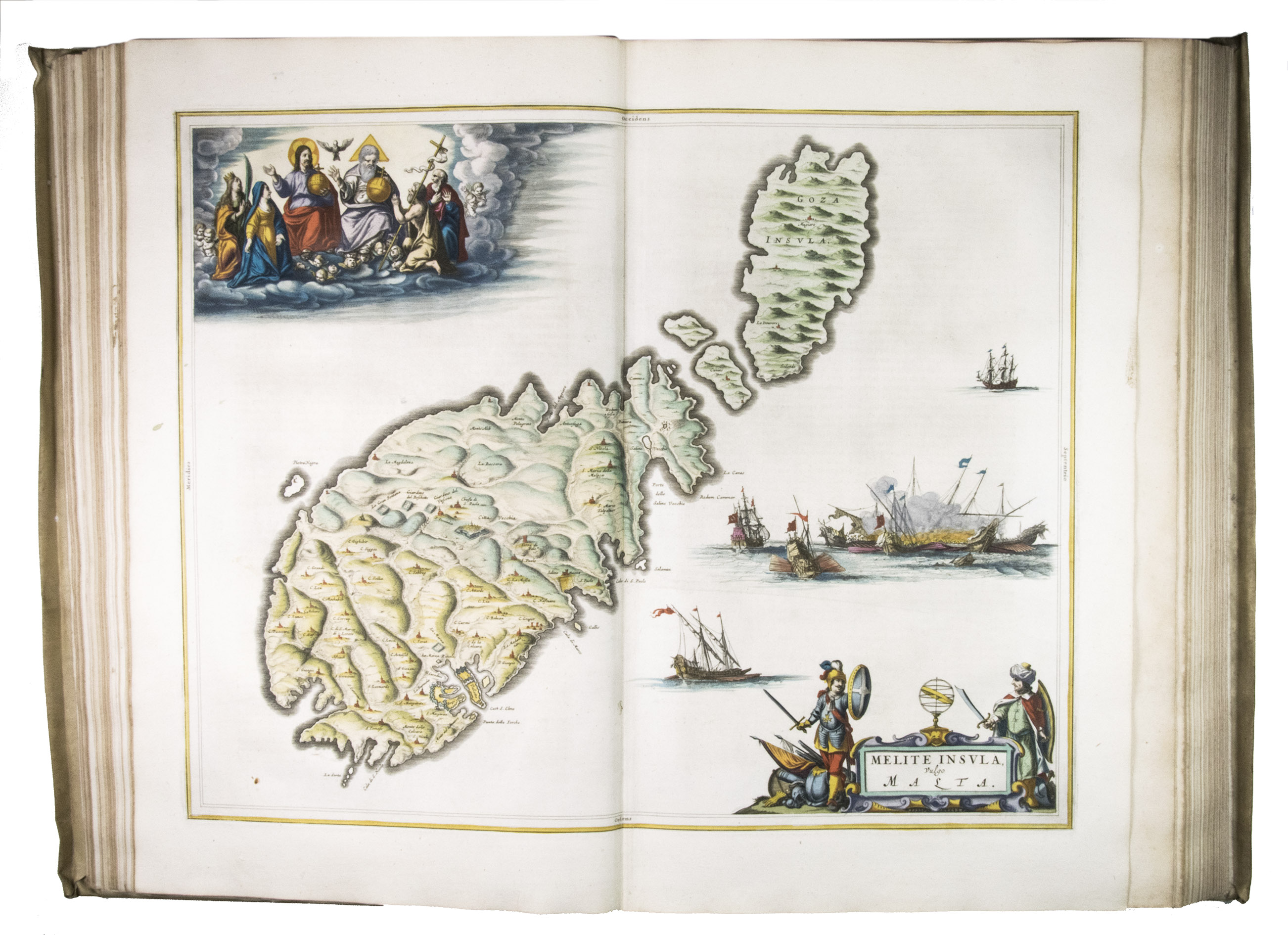
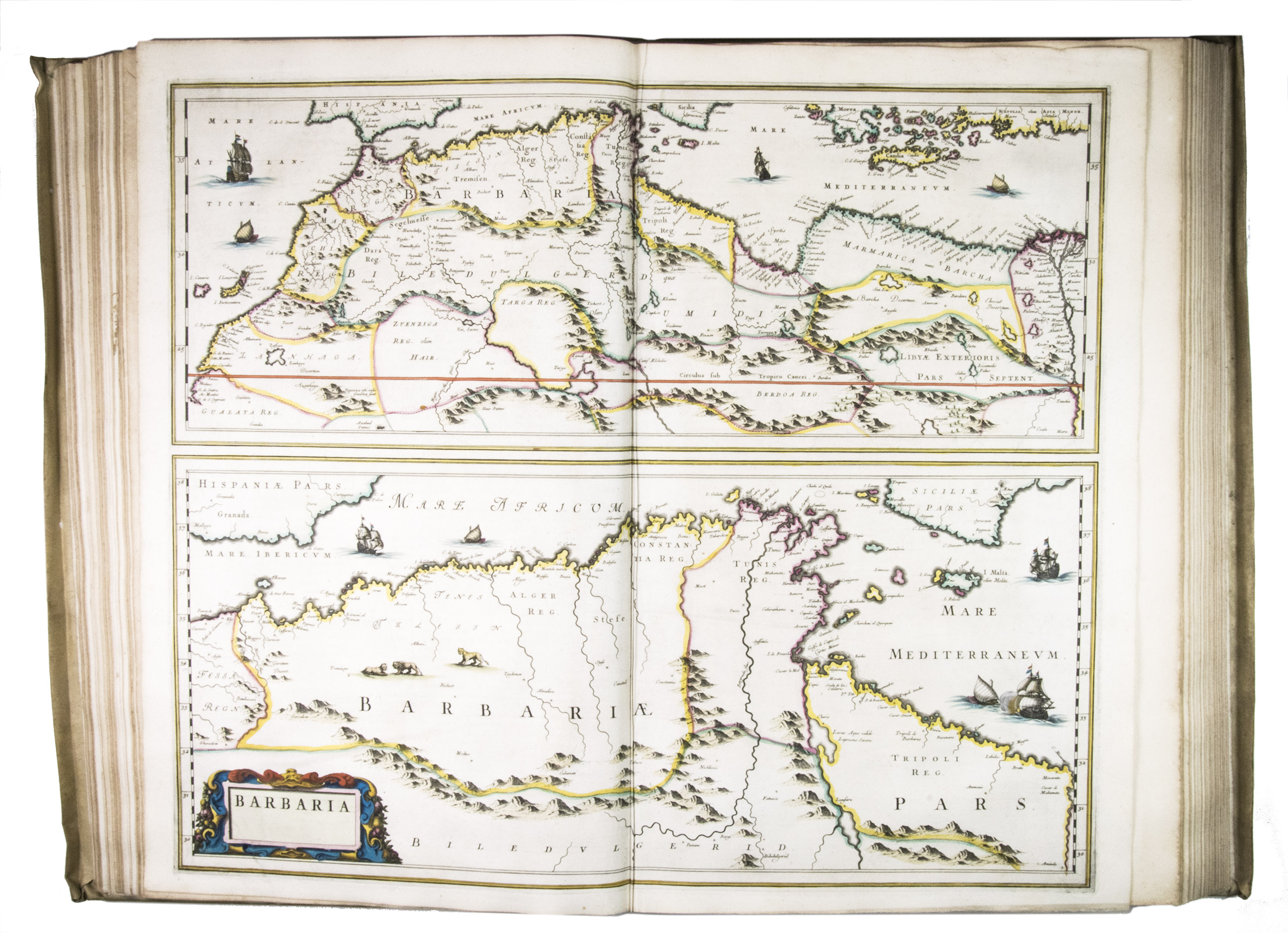
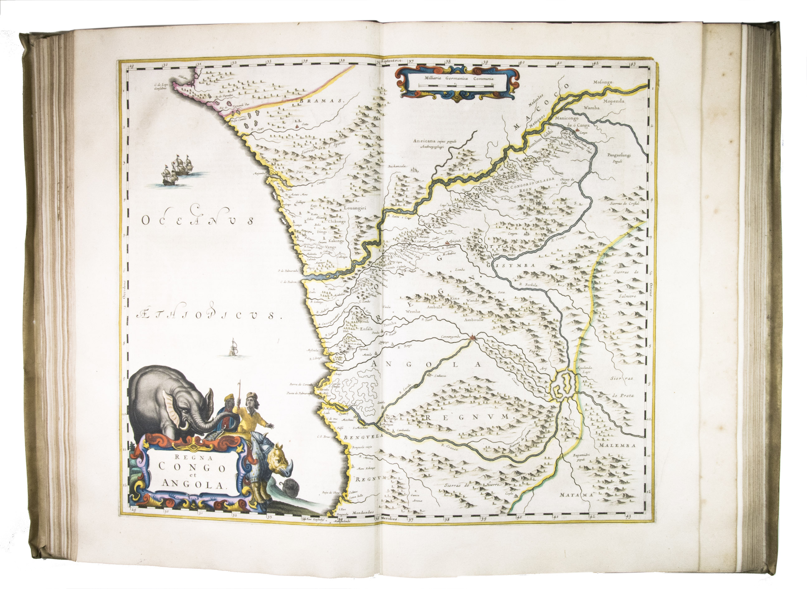
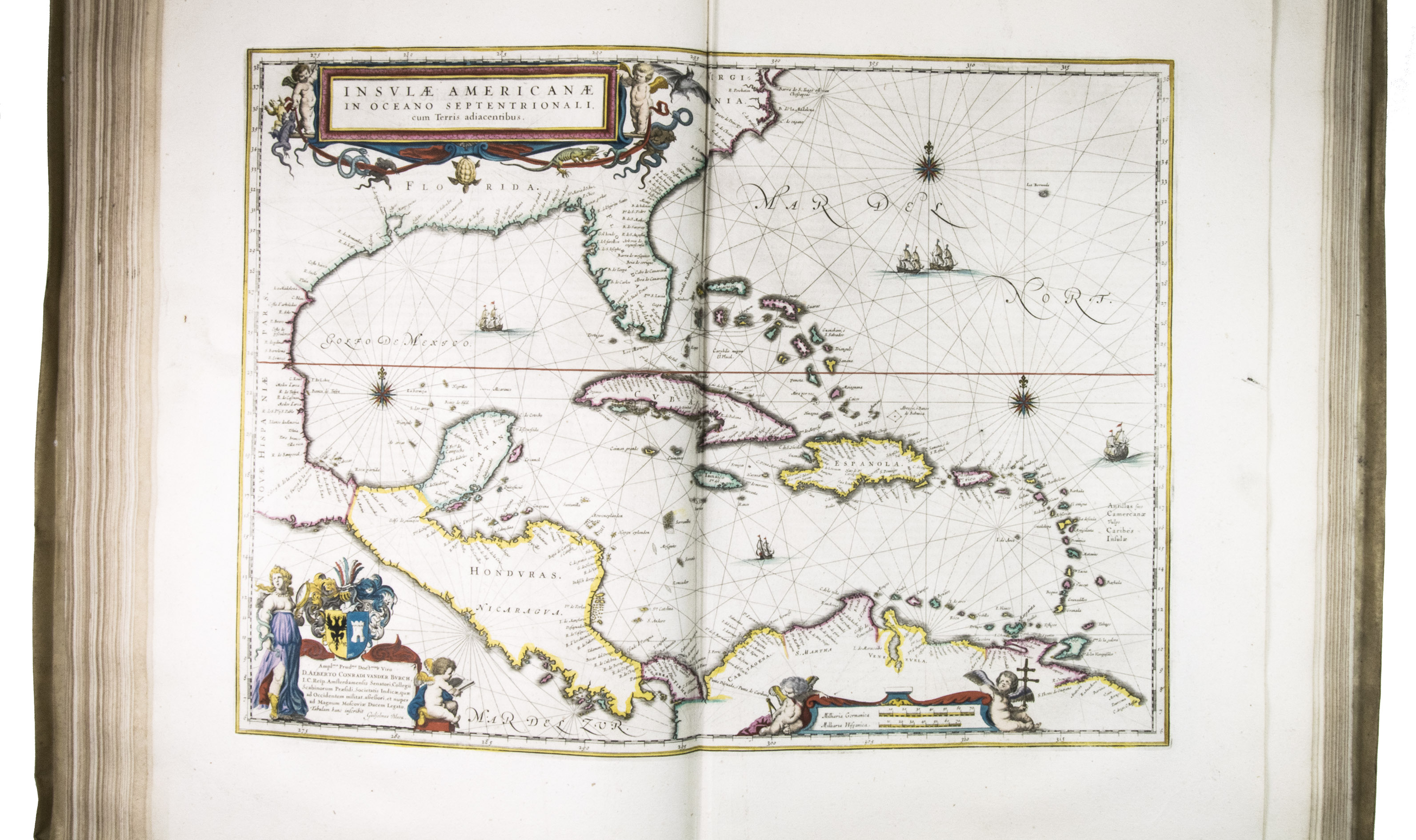
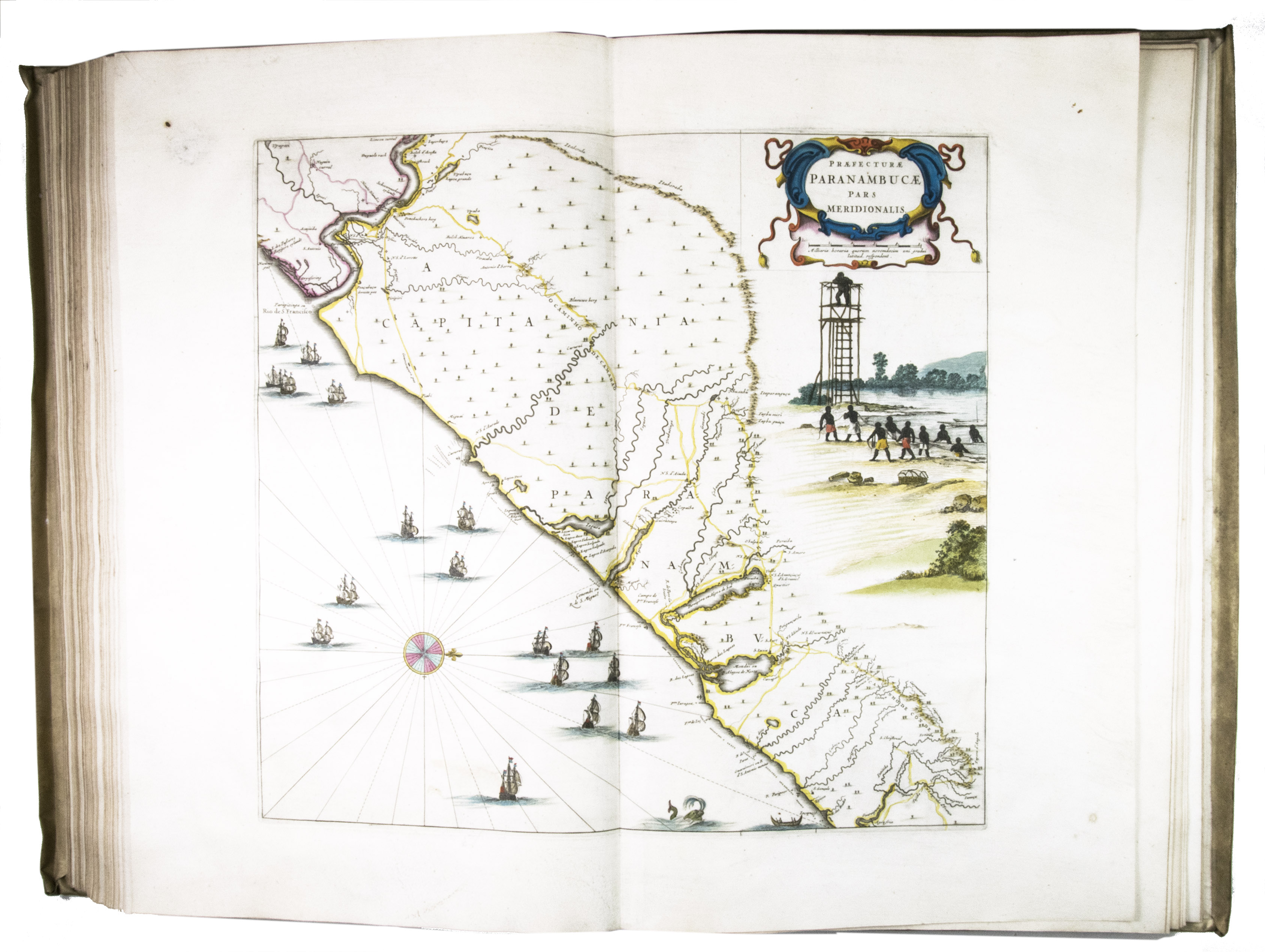
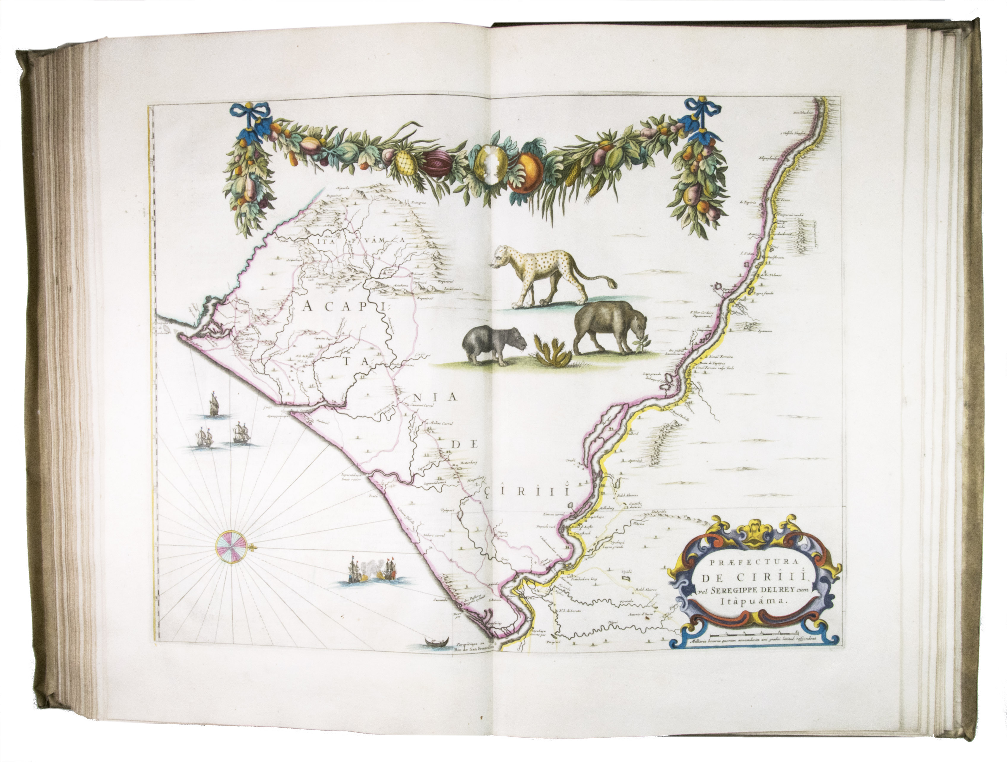
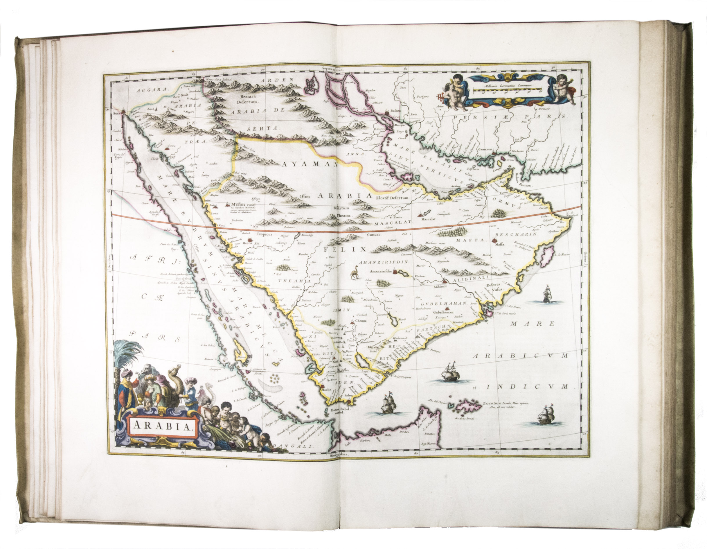
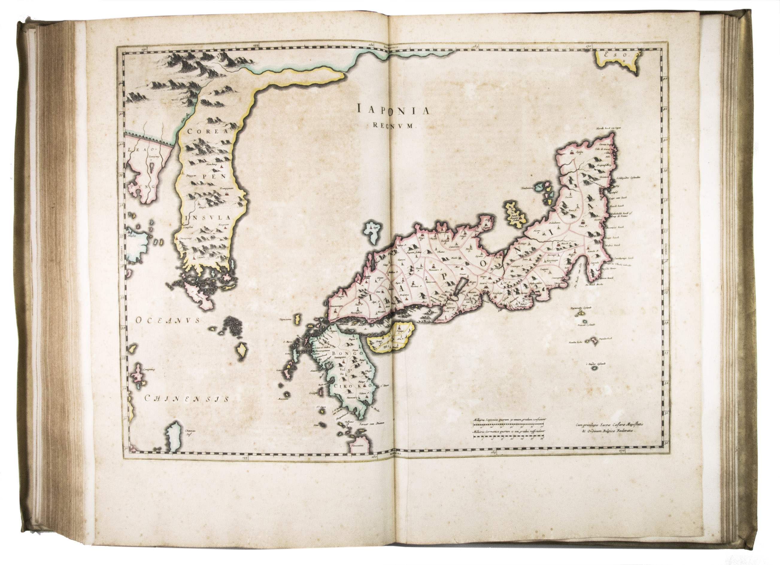
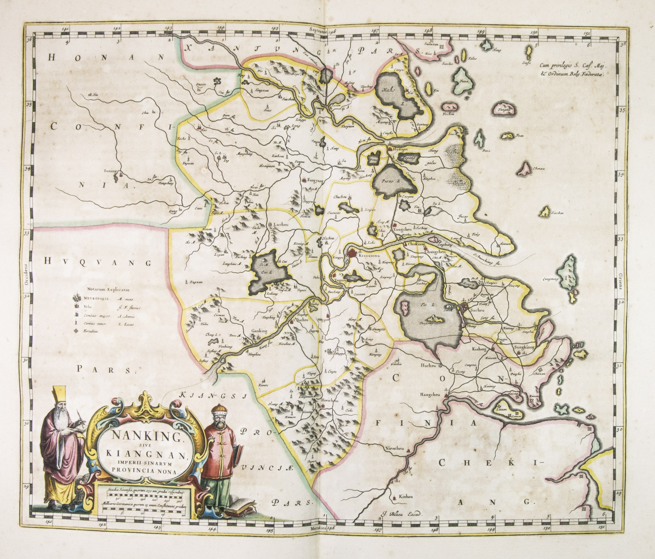
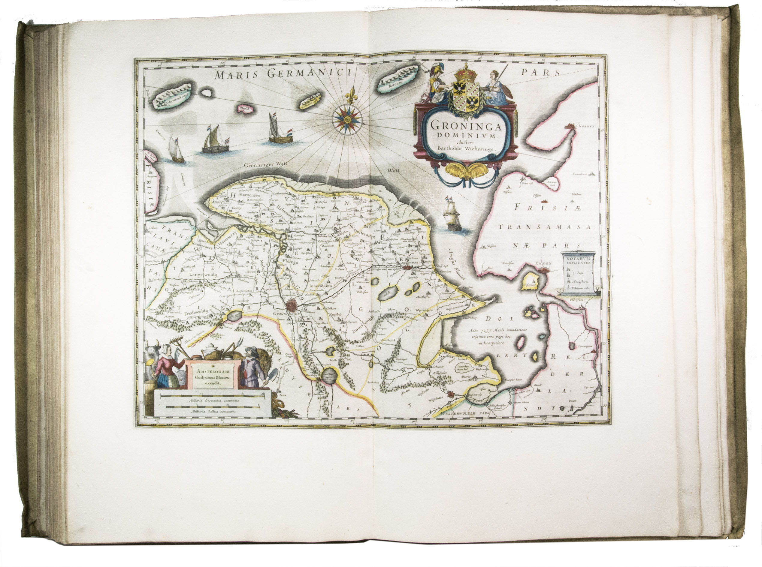
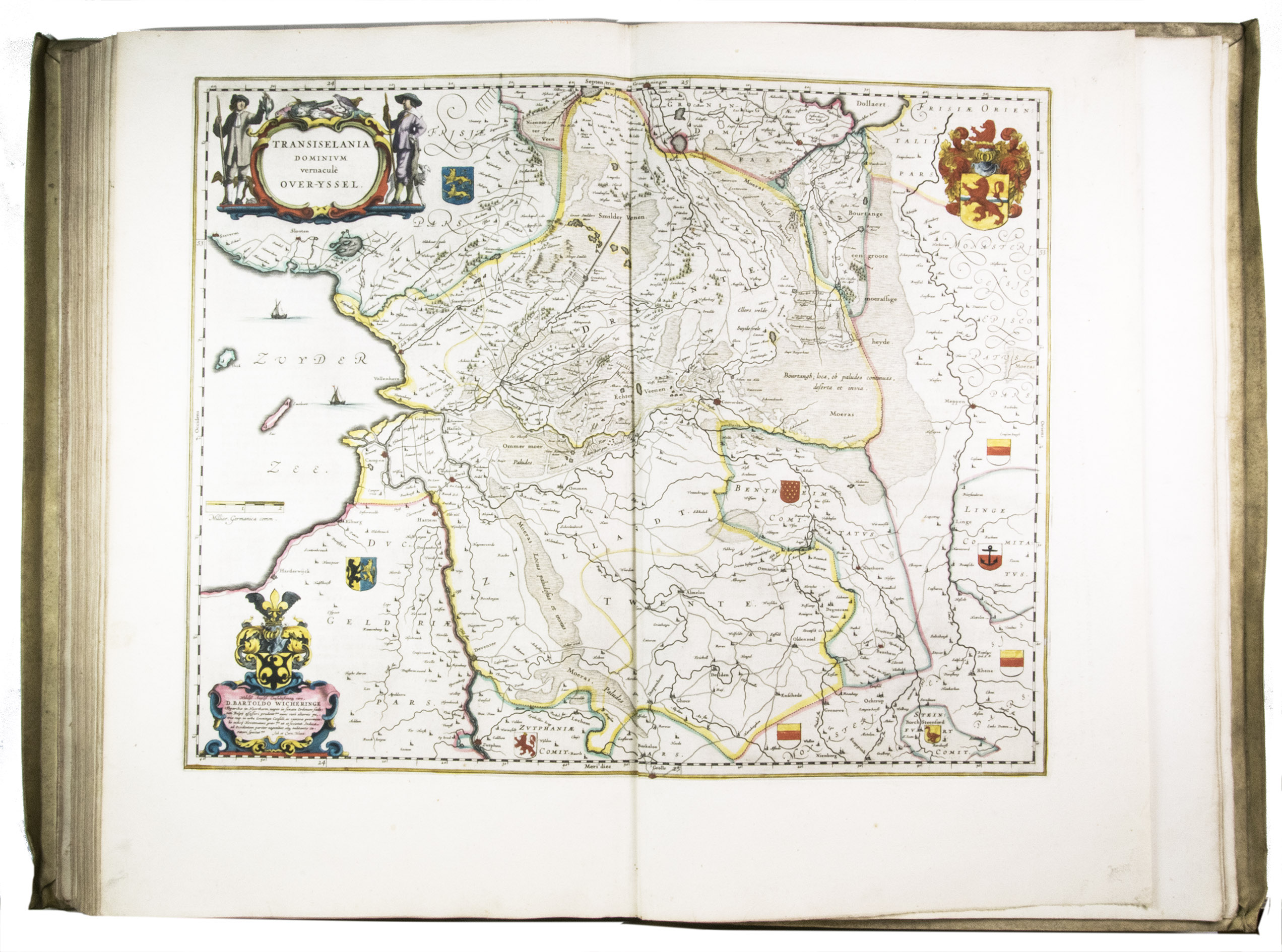
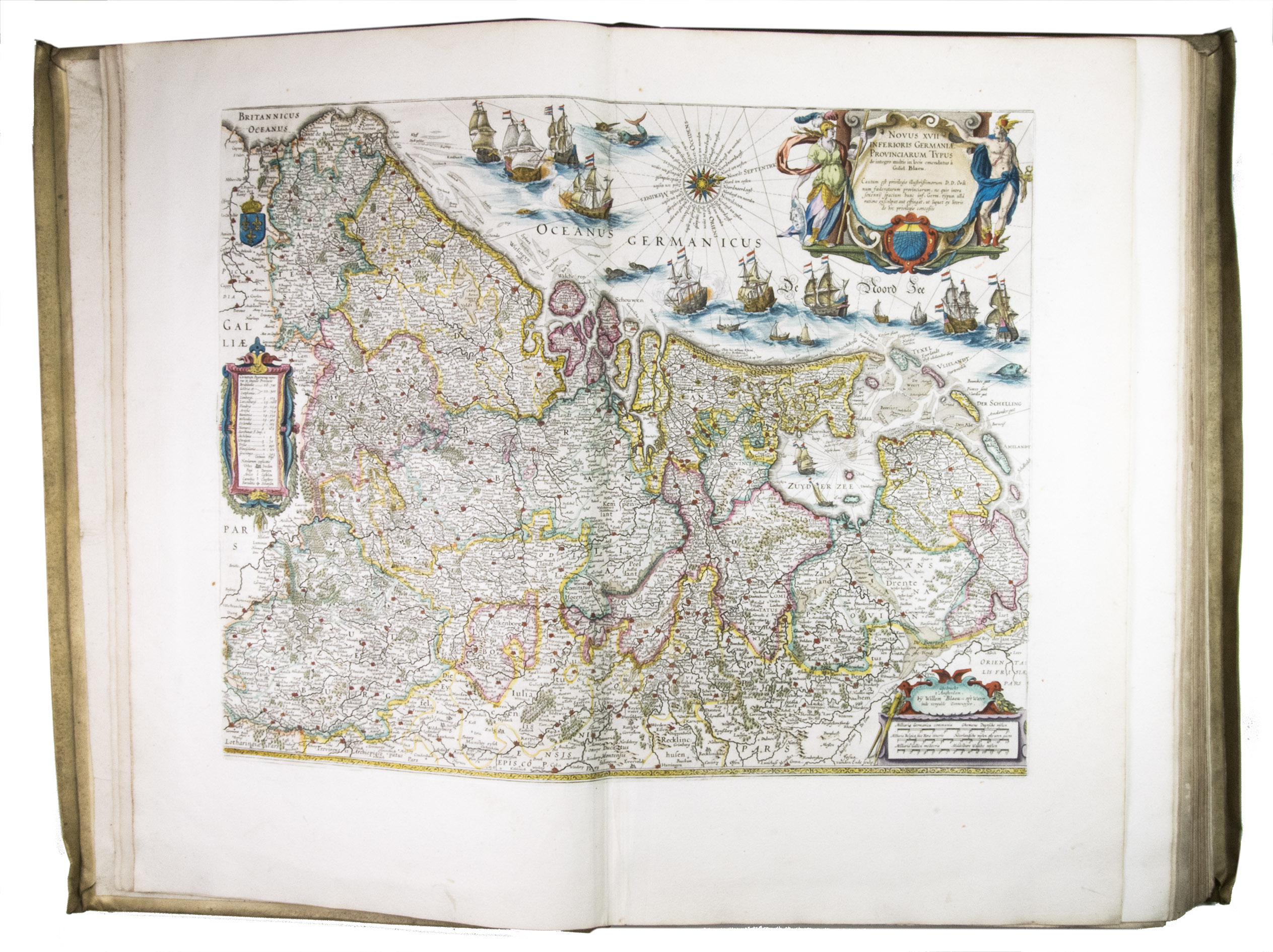
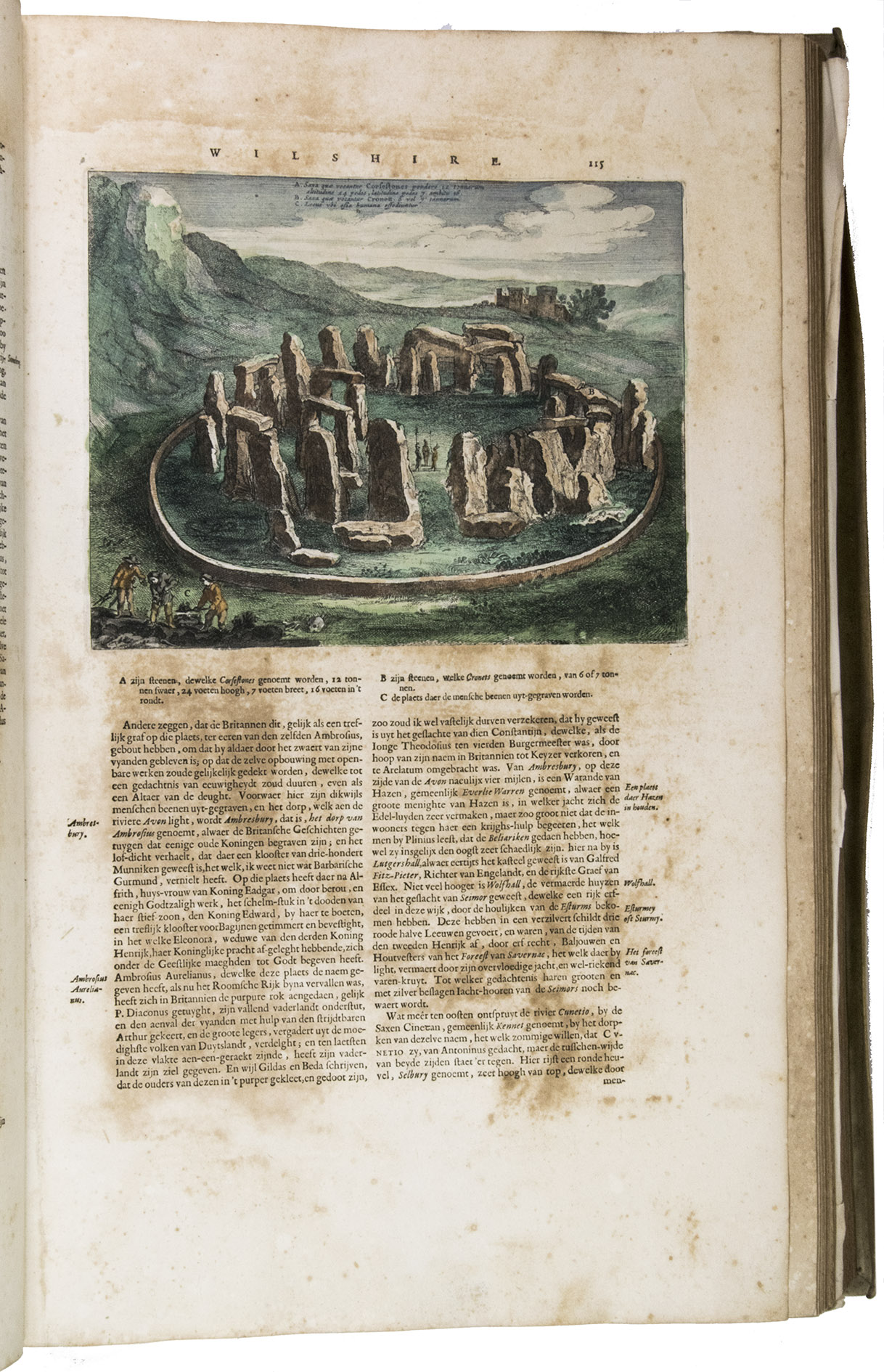
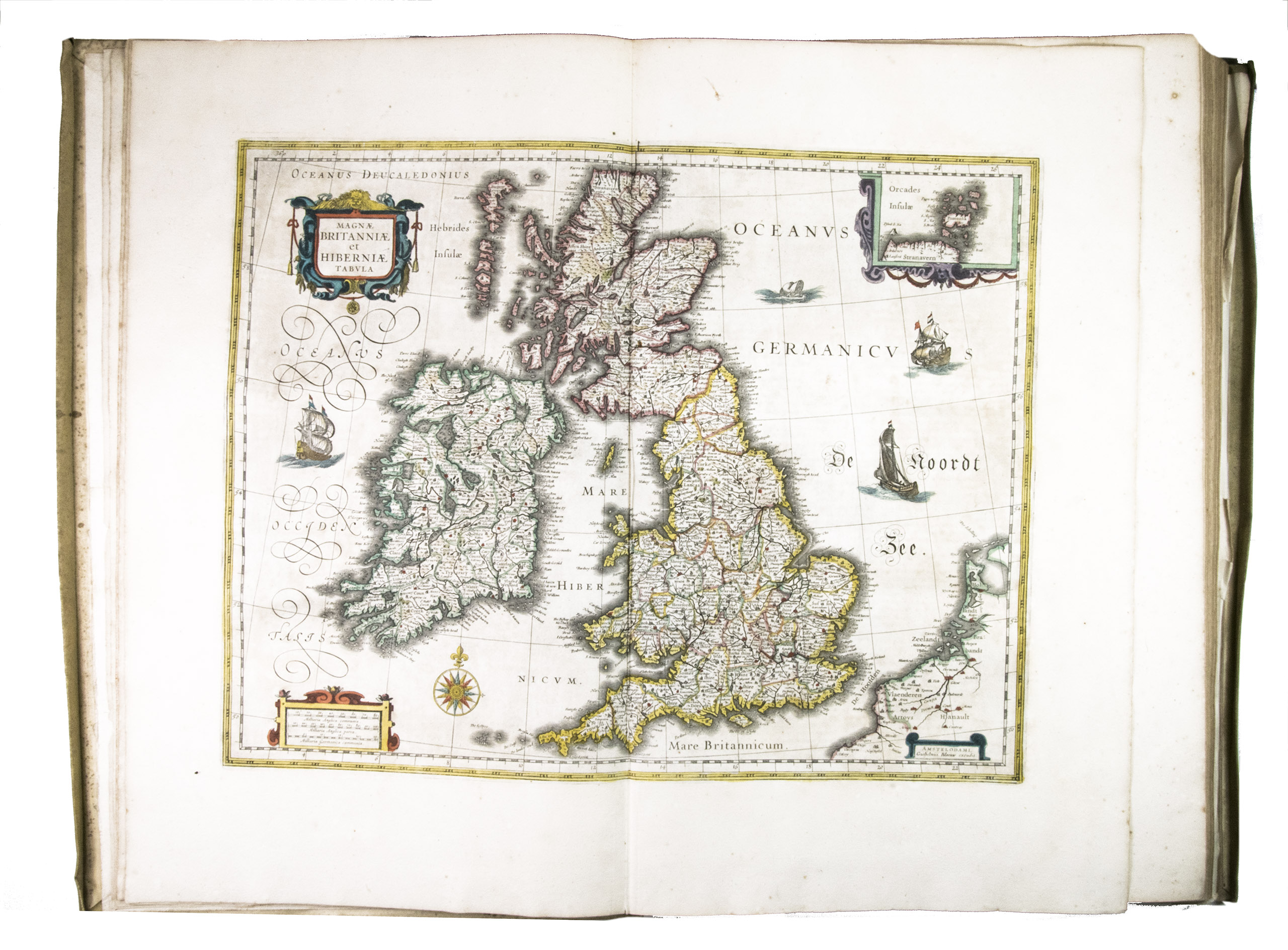
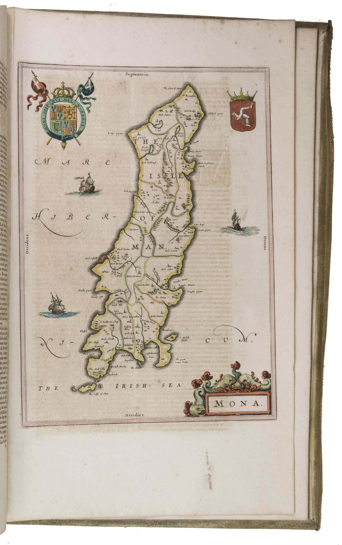
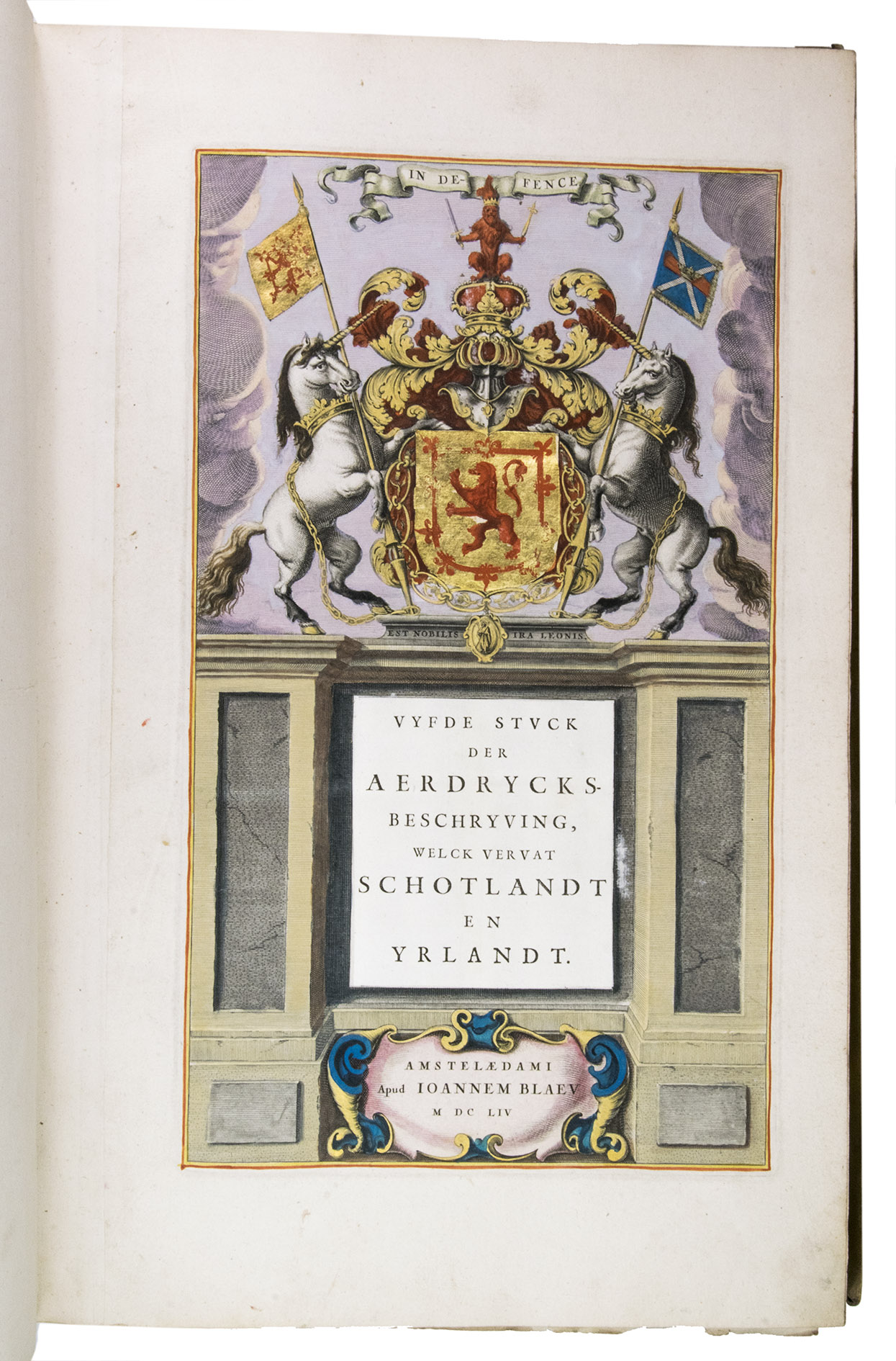
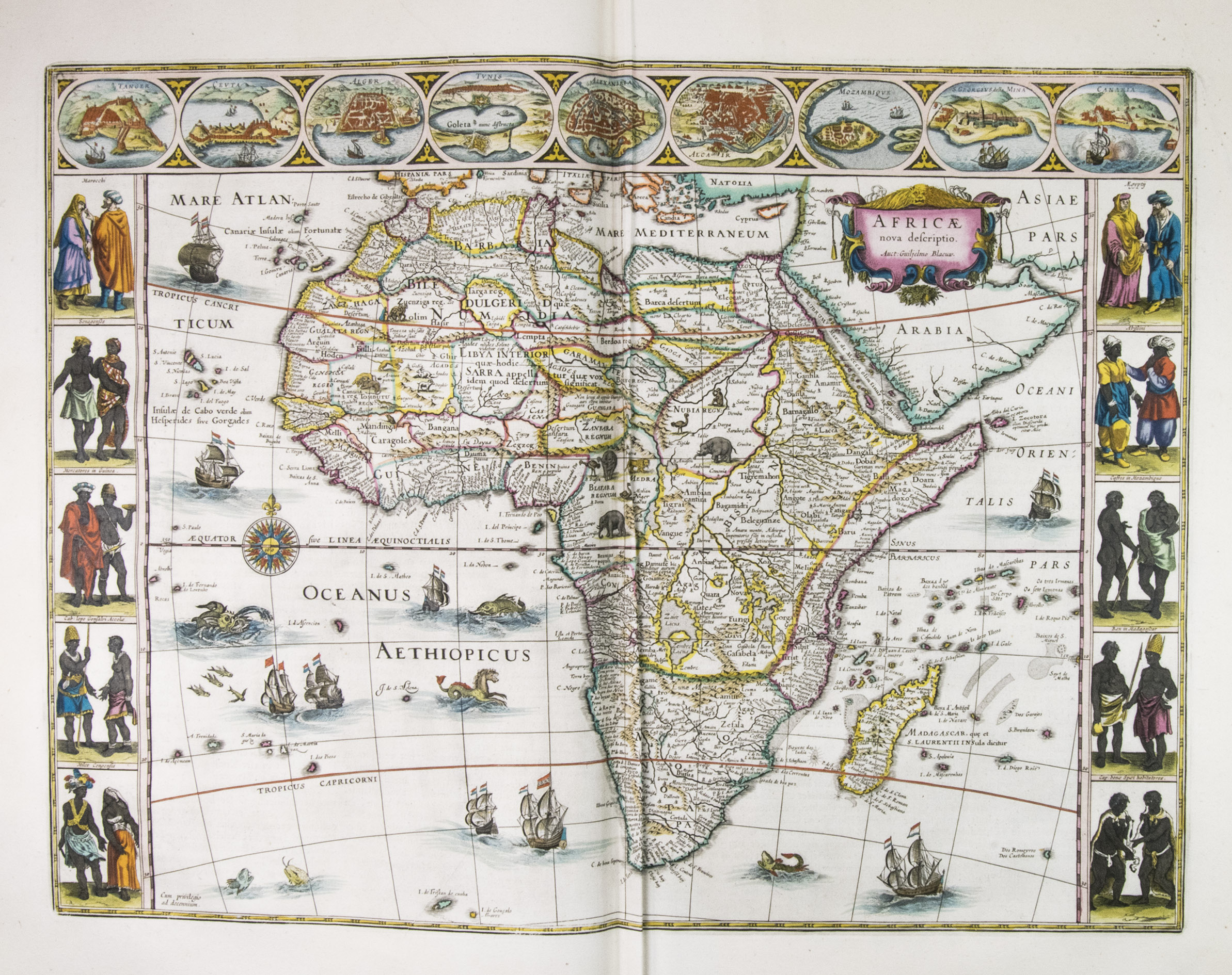
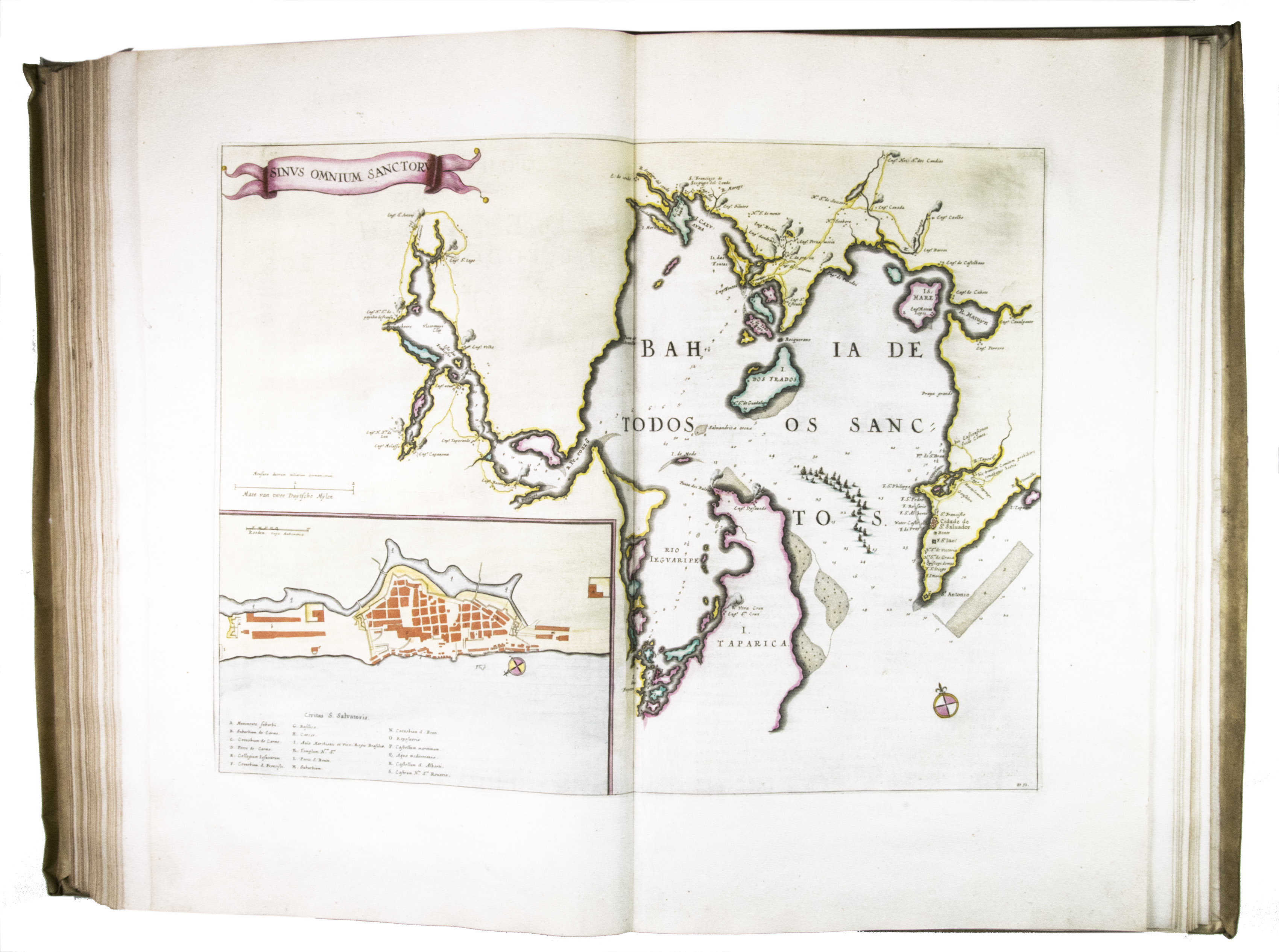
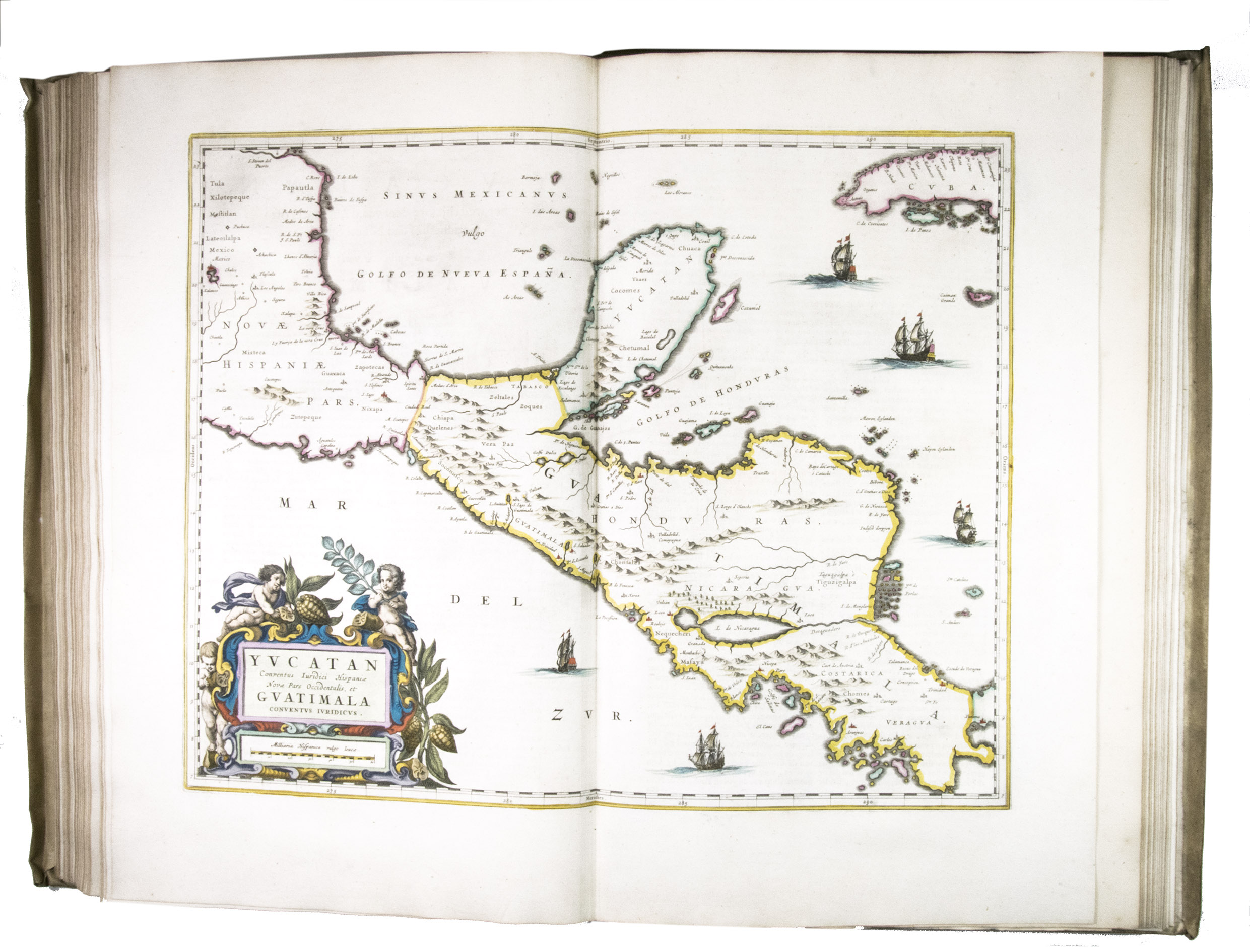
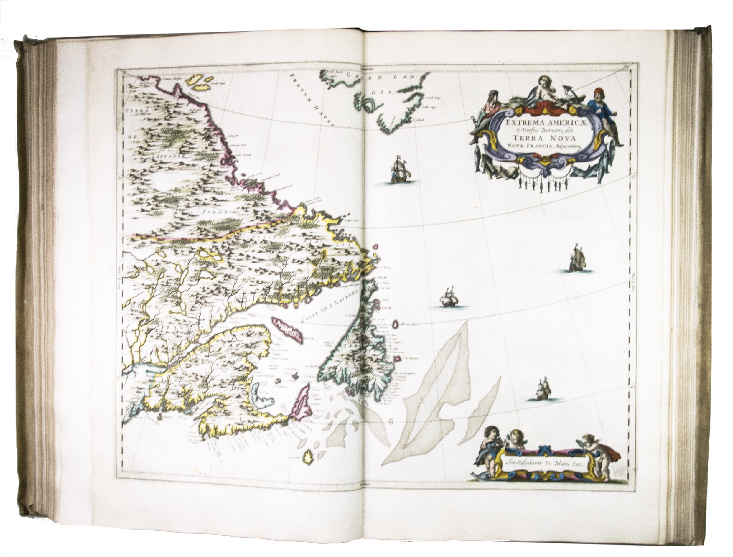
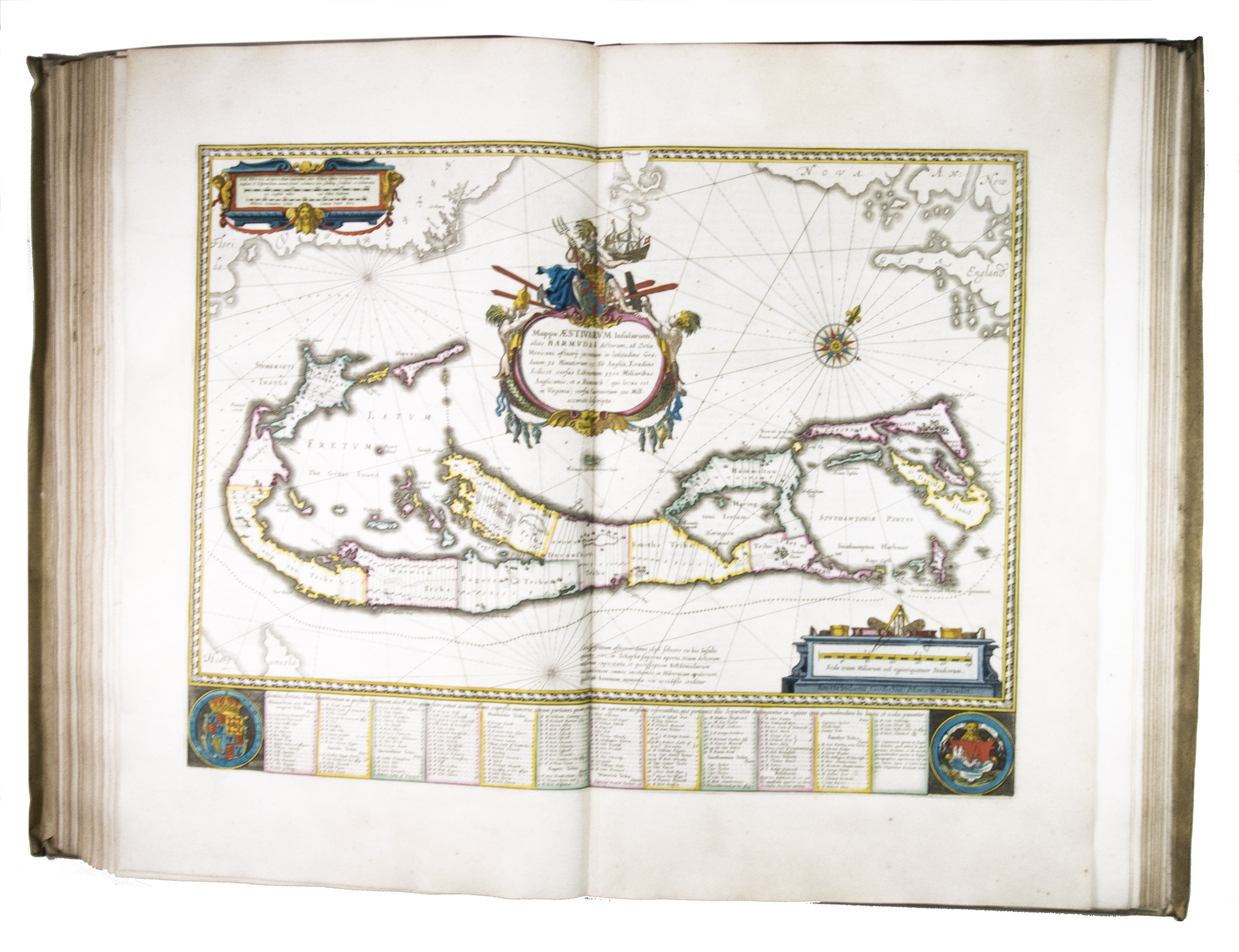
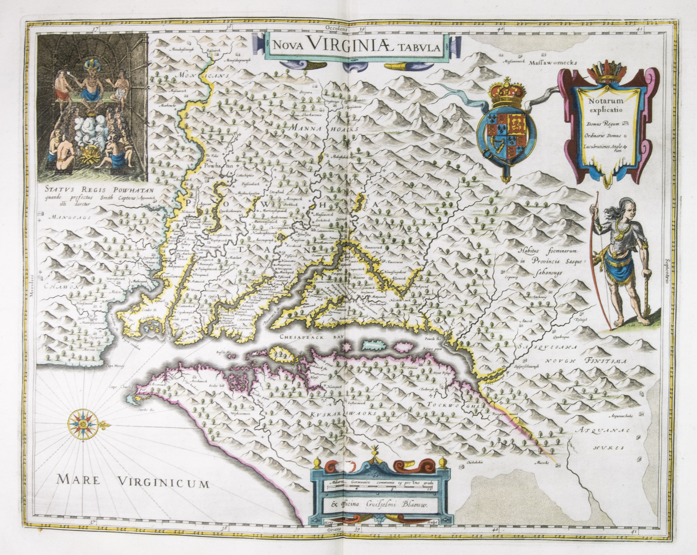
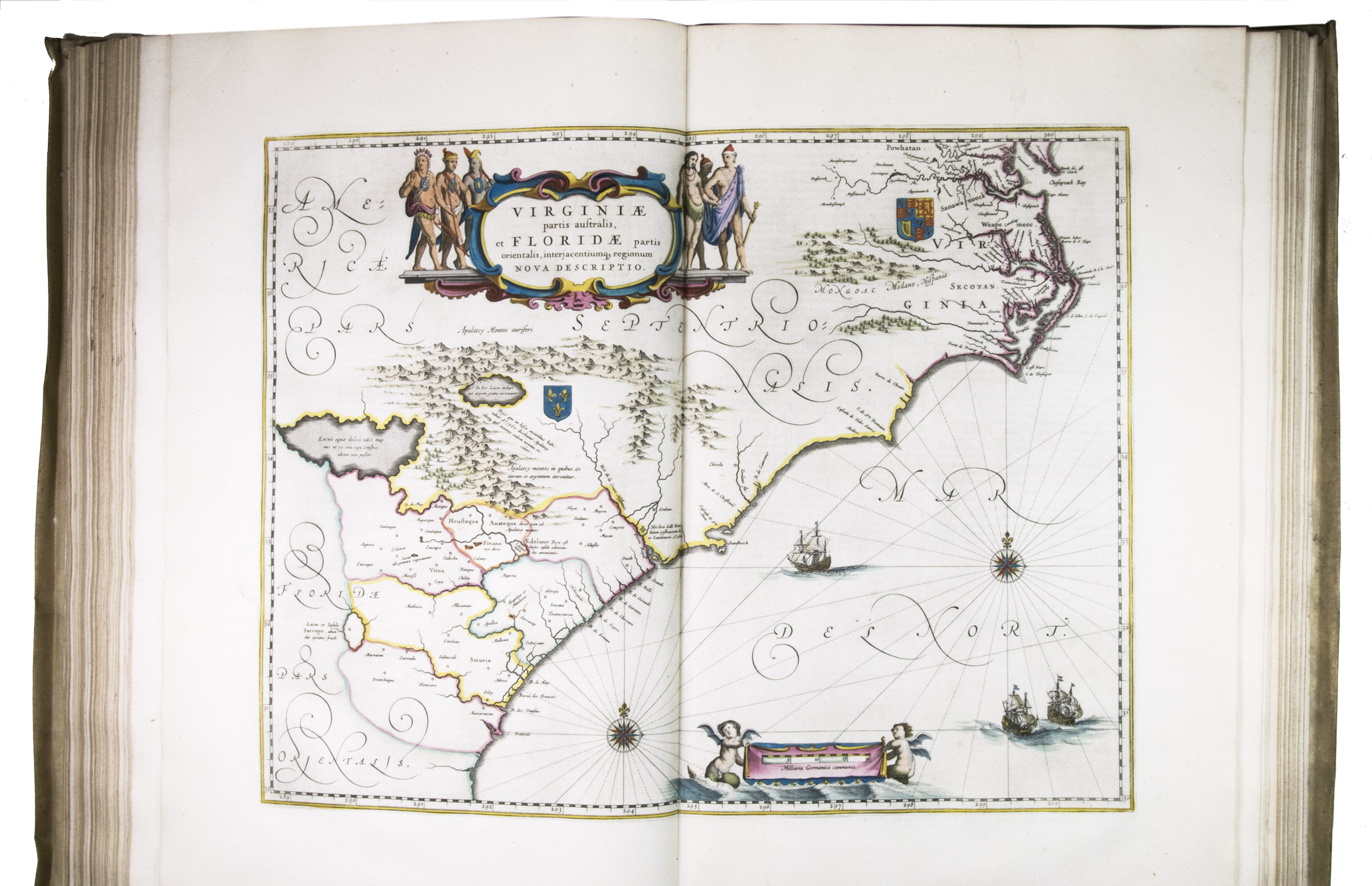
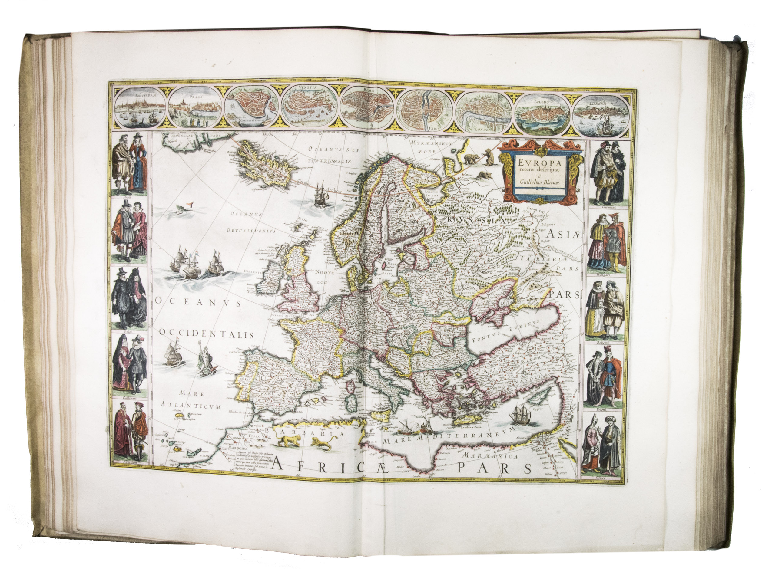
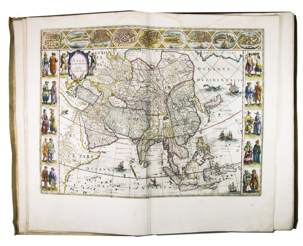
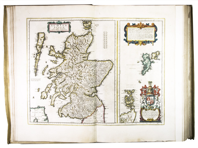
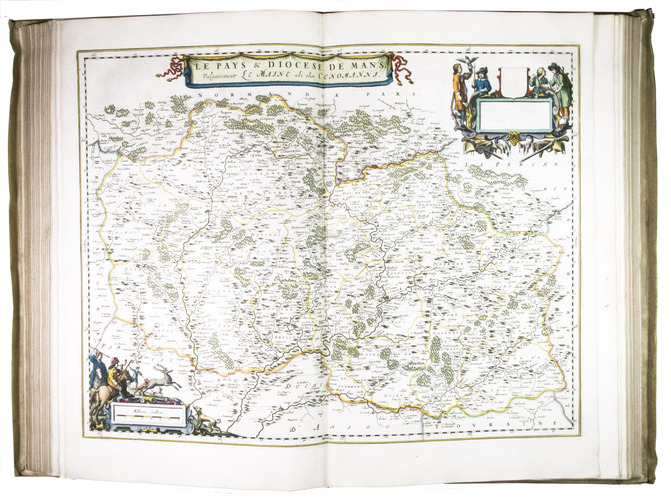
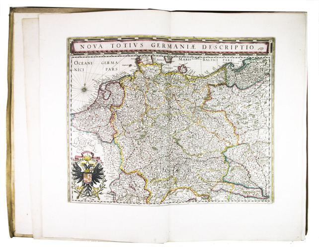
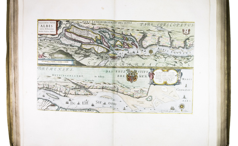
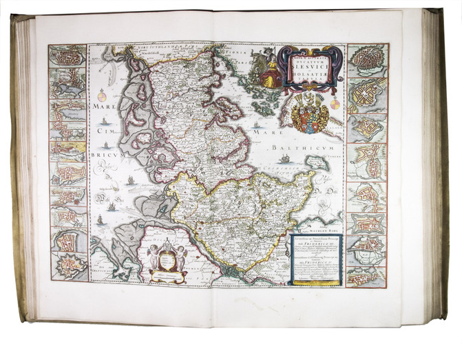
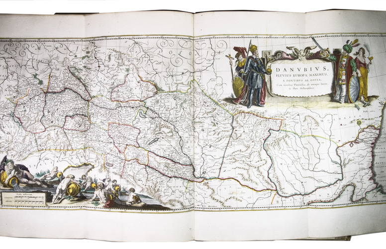
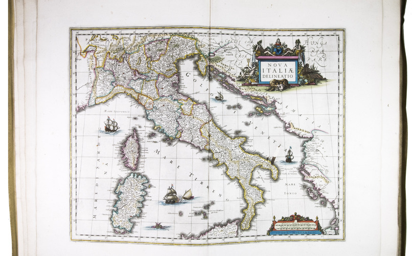
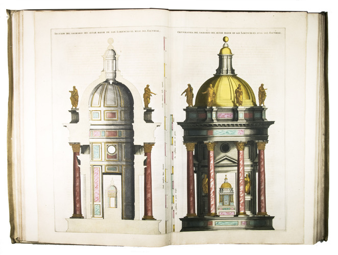
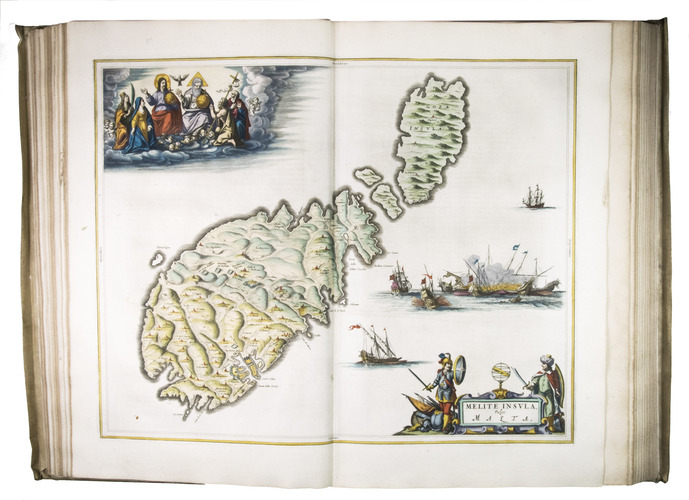
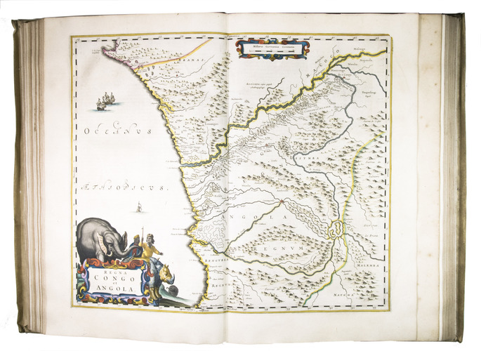
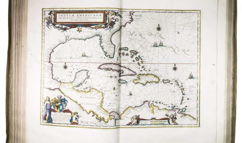
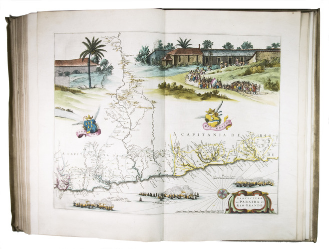
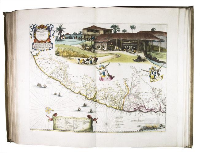
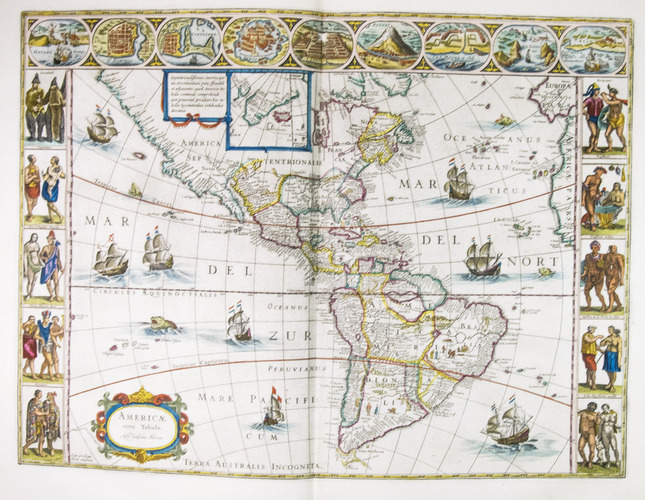
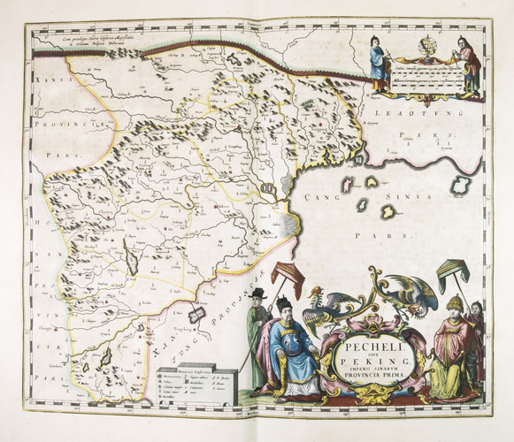
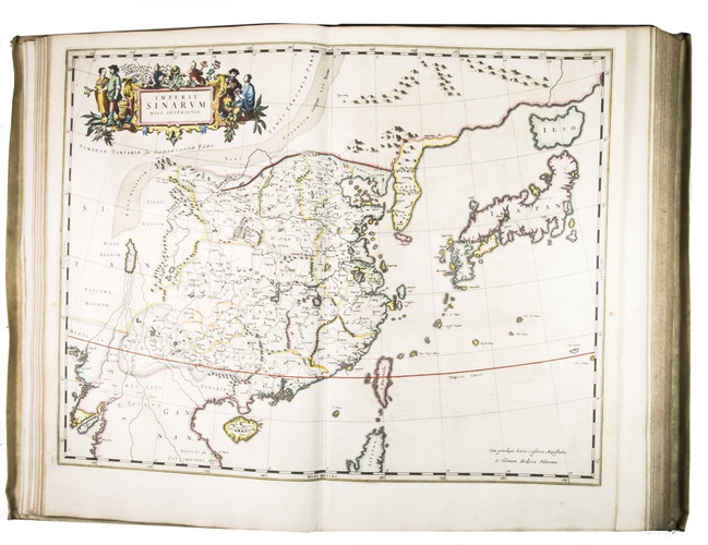
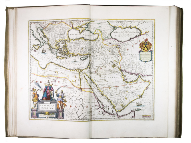
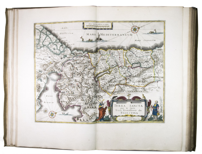
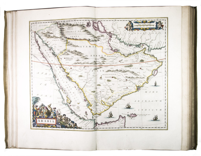
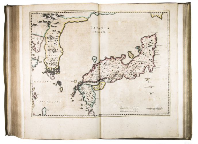
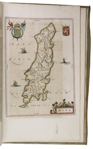
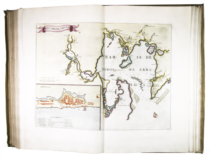
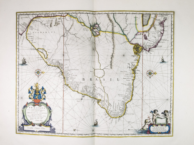
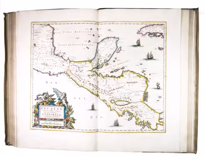
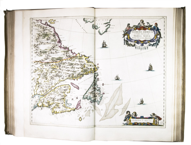
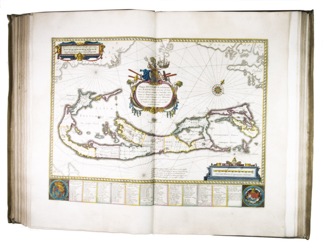
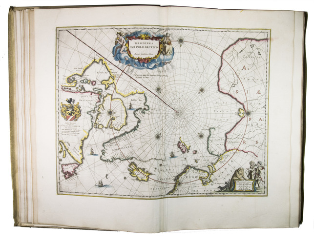
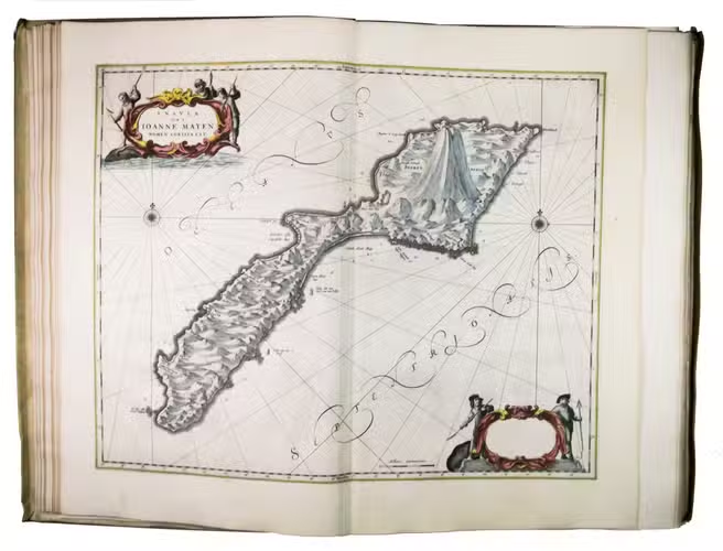
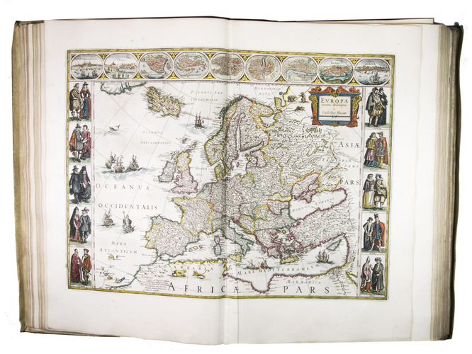
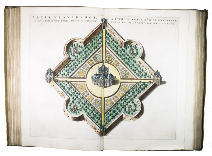
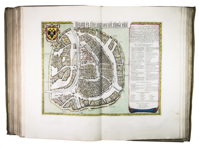
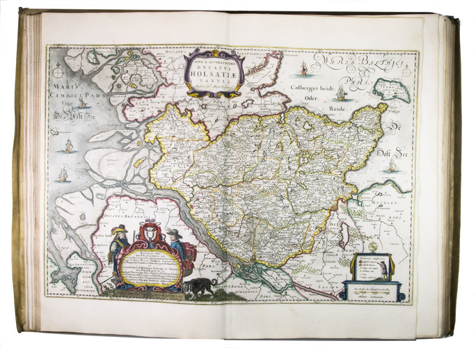
First and only Dutch edition of Joan Blaeus great terrestrial atlas, often considered the greatest atlas of all time, with 610 engraved maps, views, etc., mostly double-page and all coloured by a contemporary hand. Many maps include inset plans and views and coats of arms. Blaeu first published his great atlas in Latin as Atlas maior in 1662, but the Dutch edition includes a few maps more than the Latin or French editions. The atlases produced by the Blaeus, especially Willem Jansz (1571-1638) and his son Joan (1598/99-1673) are justly famous for the accuracy, originality and beauty of their maps and for the technical quality of their engraving and printing. The Blaeus had close ties with the VOC (Dutch East India Company) and Joan was appointed examiner of their navigators in 1658, giving him access to all the latest surveys and other topographic information the VOC brought back from their voyages throughout the world.
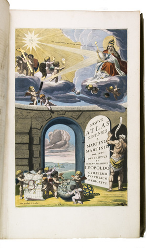
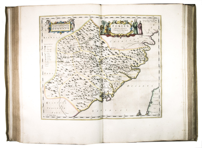
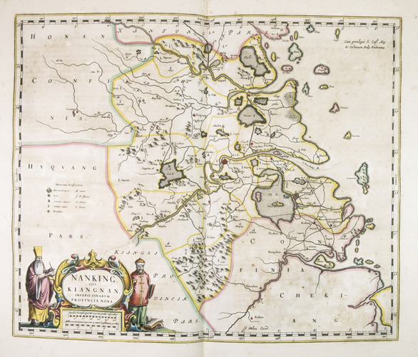
The Italian Jesuit Martino Martini (1614-1661), who had lived in China from 1640 to 1651 and was to return in 1658, compiled the atlas of China, printed and published by Joan Blaeu in 1655, the first major atlas of China published in Europe. It remained the most detailed European source for the geography of the Far East far into the 18th century.
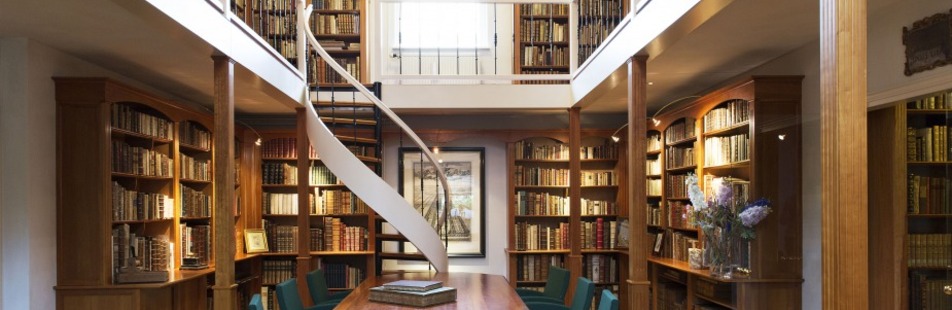
Although the atlas contains no indication of provenance, it came from a Dutch noble family and has been in the family since the 18th century. With occasional browning, mostly limited to parts of volume 4, a marginal water stain at the head of the first few quires of volume 9, an occasional small scuff mark, an occasional marginal tear and an occasional small worm hole (mostly marginal), some restored. One map has the outside edge of the left border shaved and a few are slightly dirty or tattered in the outer few millimetres of the margin along one edge. But the atlas is generally in very good condition, most maps and text leaves fine, and the colouring is still bright and clear. The gold tooling is slightly rubbed and there are one or two minor stains on the boards, but the binding is also generally very good. Blaeu's stunning great atlas, with about 610 maps, plans and views, mostly double-page, coloured by a contemporary hand. Koeman & V.d. Krogt 2.621; Koeman Bl 57; cf. H. de la Fontaine Verwey, "De glorie van de Blaeu-Atlas", in: Uit de wereld van het boek III, pp. 195-225.
Related Subjects: