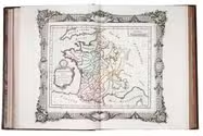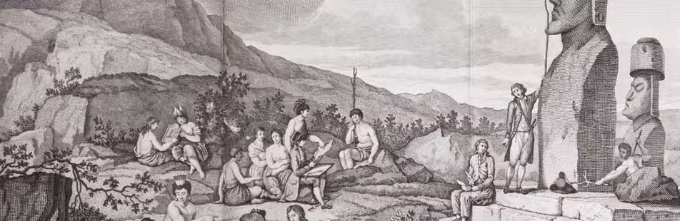

An expedition to the South African interior: "of great permanent worth",
together with a description of the Cape of Good Hope
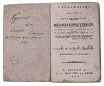
[BRINK, Carel Frederik].
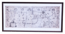
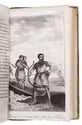
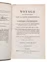
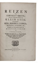
Nouvelle description du Cap de Bonne-Espérance, avec un Journal historique d'un voyage de terre, . . . , dans l'intérieur de l'Afrique. . . . Sous le commandement du Capitain Mr. Henri Hop, . . .
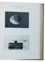
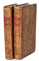
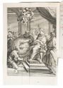
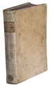
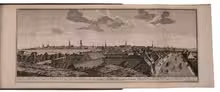
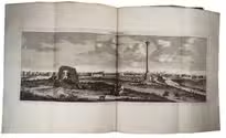
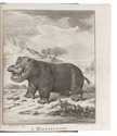
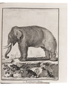
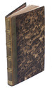
Amsterdam, J.H. Schneider, 1778. 2 parts in 1 volume. 8vo. Title-page with an engraved vignette by Christian Friedrich Fritzsch and 16 folding engraved plates. Olive half calf (ca. 1840), gold-tooled spine. [6], 130, [2], 100 pp. Full description
€ 3,950
Amsterdam, J.H. Schneider, 1778. 2 parts in 1 volume. 8vo. Title-page with an engraved vignette by Christian Friedrich Fritzsch and 16 folding engraved plates. Olive half calf (ca. 1840), gold-tooled spine. [6], 130, [2], 100 pp. Full description