Categories
Shopping cart (0 items € 0)
Advanced search

Cartography, Exploration & Voyages

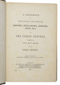
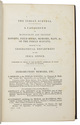
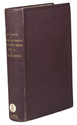
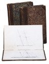
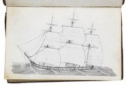
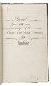
East Indiaman voyage journal to Bengal - first-hand account of an earthquake at sea
off the coast of India in February 1823

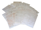
[INDIA - SHIP JOURNAL - EAST INDIA COMPANY]. Journal of the proceedings of the hon[oura]ble(?) East India Company ship Winchelsea.
[Aboard the Winchelsea, written and drawn at sea, 1822-1823]. 3 volumes. 8vo. The two sketchbooks contain a total of ca. 100 pages of sketches of ships, done in pencil, including 1 page containing signal flags in colour. With: [Two sketchbooks with pencil drawings of ships]. Contemporary half gold-tooled brown calf. [1 blank], [1], [155]; [98]; [98] ll. Full description
€ 12,500
Order Inquire Terms of sale

"Not to be Published"

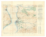
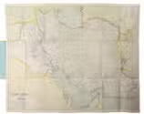
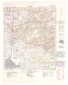
[IRAQ DESERT] 2 lithographic WWII maps: Rutba and Wadi Al Ubaiyidh.
[UK Government], Geographical Section, General Staff, War Office, 1940-1942. 2 topographic maps, colour-printed. Scale 1:500,000. 820 x 640 mm and 770 x 648 mm. Previously folded. Marked "Iraq Desert Sheet 1" and "Sheet 2". Generally well preserved. Full description
€ 1,250
Order Inquire Terms of sale

Historical narrative of a voyage to India and Persia written by a surgeon of the British Royal Navy

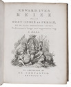
IVES, Edward. Reize naar Oost-Indië en Persië, en de daar omliggende landen. Ondernomen langs een' ongewoonen weg.
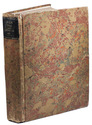
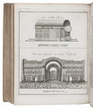
Amsterdam, De Compagnie, 1779. 2 volumes bound as 1. 4to. With 2 engraved title-pages, 2 folding engraved maps, one of India (44 x 51 cm), the other tracking Ives's journey from Basra to Latakia (ca. 42 x 56 cm), and 9 engraved plates (including 1 large folding). Early 20th-century boards. [16], 324; [1], [1 blank], [1], [1 blank], 379, [1] pp. Full description
€ 2,950
Order Inquire Terms of sale

Historical narrative of a voyage to India and Persia written by a surgeon of the British Royal Navy

IVES, Edward. Reize naar Oost-Indië en Persië, en de daar omliggende landen. Ondernomen langs een' ongewoonen weg.
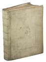
Amsterdam, De Compagnie, 1779. 2 parts in 1 volume. 4to. With 2 engraved title-pages, 2 folding engraved maps, one of India, the other tracking Ives's journey from Basra to Latakia, and 9 engraved plates (including 1 large folding). Contemporary blind-tooled vellum. [16], 324; [1], [1 blank], [1], [1 blank], 379, [1] pp. Full description
€ 3,950
Order Inquire Terms of sale

The beginning of the renewed contacts between France and Persia

JAUBERT, Pierre Amédée Emilien Probe. Voyage en Arménie et en Perse, fait dans les années 1805 et 1806 ... accompagné d'une carte des pays compris entre Constantinople at Téhéran ... suivi d'une notice sur le Ghilan et le Mazenderan ...
Paris, Pélicier et Nepveu, 1821. 8vo. With 10 lithographed plates showing portraits, costumes, and views, most of them designed by Orlowski and lithographed by Aubry, 1 large engraved folding map showing the region between Constantinople and Teheran engraved by Flahaut. Contemporary gold-tooled marbled calf. [2], XII, 506, [2] pp. Full description
€ 1,750
Order Inquire Terms of sale
765 books found / Show all