
Dutch edition of a detailed account of an important circumnavigation
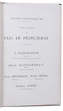
LAPLACE, Cyrille Pière Théodore.
Reis rondom de wereld door de zeeën van Indië en China; . . .
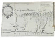
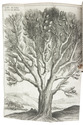
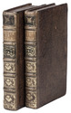
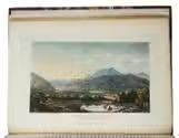
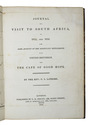
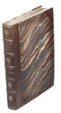
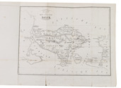
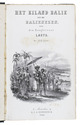
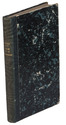
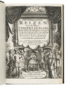
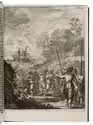
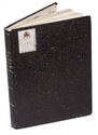
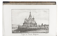
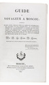
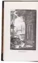
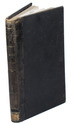
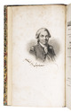
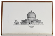
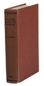
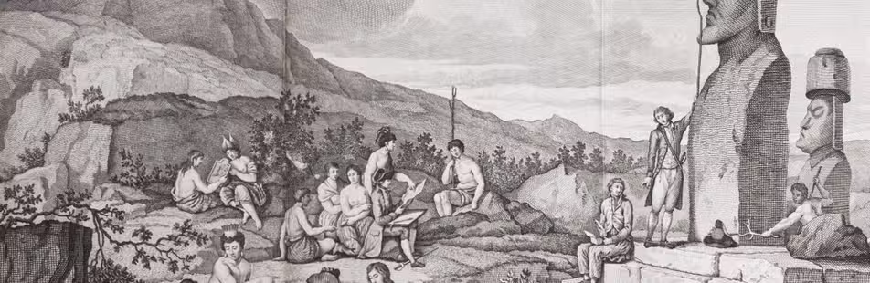
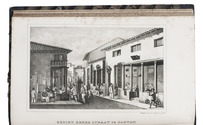
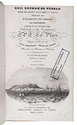
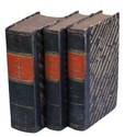
Zaltbommel, Johannes Noman and sons, 1834-1836. 7 volumes bound as 3. 8vo. Each volume with a lithographed title-page, each with a different topographic view, folding engraved map tracking Laplace's journey, 13 lithographed plates (7 folding). Near contemporary uniform blue-black half calf, gold- and blind-tooled spines. XXXVI, 511, [1]; [II], 328; [II], 272; [II], 288; IV, 272; [II], 262, [1], [1 blank]; IV, 323, [1] pp. Full description
€ 2,750
Zaltbommel, Johannes Noman and sons, 1834-1836. 7 volumes bound as 3. 8vo. Each volume with a lithographed title-page, each with a different topographic view, folding engraved map tracking Laplace's journey, 13 lithographed plates (7 folding). Near contemporary uniform blue-black half calf, gold- and blind-tooled spines. XXXVI, 511, [1]; [II], 328; [II], 272; [II], 288; IV, 272; [II], 262, [1], [1 blank]; IV, 323, [1] pp. Full description