
One of the best and most entertaining buccaneer travel accounts
LUSSAN, Raveneau de.
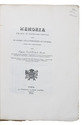
Journal du voyage fait a la Mer du Sud, avec les filibustiers de l'Amerique en 1684 & années suivantes.
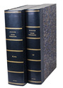
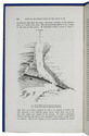
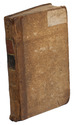
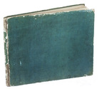
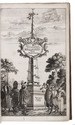
Paris, Jean Baptise Coignard, 1689. 12mo. With a woodcut vignette on the title page, 2 decorated woodcut initials, 2 woodcut headpieces, 3 headpieces built up from typographical materials, and 2 woodcut tailpieces.
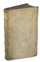
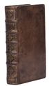
Contemporary gold tooled mottled brown calf. [16], 448, [3], [1 blank] pp. Full description
€ 5,000
Paris, Jean Baptise Coignard, 1689. 12mo. With a woodcut vignette on the title page, 2 decorated woodcut initials, 2 woodcut headpieces, 3 headpieces built up from typographical materials, and 2 woodcut tailpieces.
Contemporary gold tooled mottled brown calf. [16], 448, [3], [1 blank] pp. Full description