
Complete series of lithographs of the Low Countries, with 26 extra plates
CLOET, Jean-Joseph de.
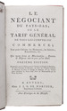
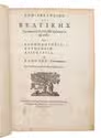
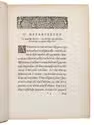
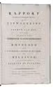
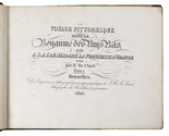
Voyage pittoresque dans le Royaume des Pays Bas, dédié a S.A.I. & R. Madame la Princesse d'Orange ...
Brussels, J. B. A. Jobard, 1825.
With: (2) [IDEM]. Chateaux et monumens des Pays-Bas faisant suite au voyage pittoresque.
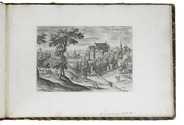
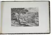
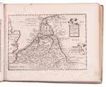
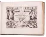
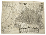
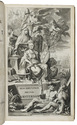
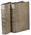
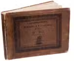
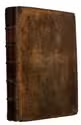
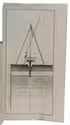
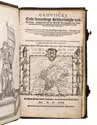
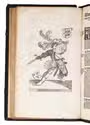
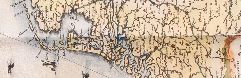
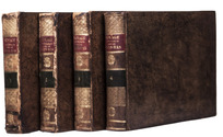
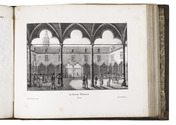
Brussels, J.B.A. Jobard, 1827-1829. 2 parts in 4 volumes. Oblong 4to. Each volume with a lithographed title page. The whole work comprises 407 full-page lithographic plates protected by tissue paper guards, 2 folding maps, and a lithographic portrait. Contemporary gold-tooled marbled calf. Full description
€ 19,500
Brussels, J. B. A. Jobard, 1825.
With: (2) [IDEM]. Chateaux et monumens des Pays-Bas faisant suite au voyage pittoresque.
Brussels, J.B.A. Jobard, 1827-1829. 2 parts in 4 volumes. Oblong 4to. Each volume with a lithographed title page. The whole work comprises 407 full-page lithographic plates protected by tissue paper guards, 2 folding maps, and a lithographic portrait. Contemporary gold-tooled marbled calf. Full description