
Early 18th-century Dutch student's manuscript on navigation and mathematics
[MANUSCRIPT - NAVIGATION - DUTCH].
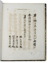
De schat kamer ofte de konst der stuurlieden.
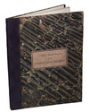
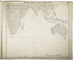
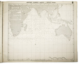
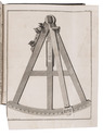
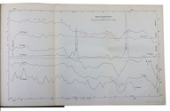
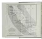
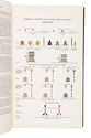
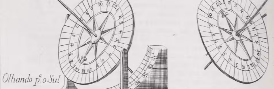
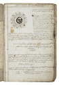
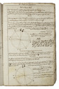
[The Netherlands], [ca. 1702/13?]. Folio (33.5 x 21.5 cm). With more than 300 mathematical figures and illustrations, mainly full-, half- and quarter-circle diagrams. The Dutch text is written in a clearly legible, 18th-century cursive hand in brown ink. Contemporary flexible paperboards. [213], [4 blank], [1] pp. Full description
€ 3,850
[The Netherlands], [ca. 1702/13?]. Folio (33.5 x 21.5 cm). With more than 300 mathematical figures and illustrations, mainly full-, half- and quarter-circle diagrams. The Dutch text is written in a clearly legible, 18th-century cursive hand in brown ink. Contemporary flexible paperboards. [213], [4 blank], [1] pp. Full description