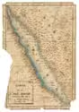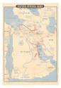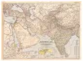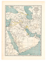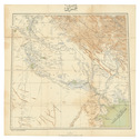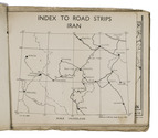

USAF pilot's map of the Arabian Gulf
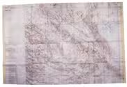
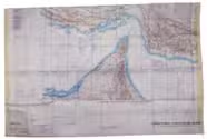
[MAP - ARABIAN GULF]. Aeronautical chart and information center.
Persian Gulf | ONC-H-6/7. Operational navigation chart.
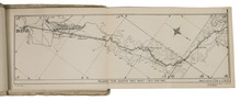
St Louis, Aeronautical chart and information center, United States Air Force, 1969. Two copies of two folding maps colour printed on both sides of a sheet of silk (103 x 78.5 cm) on a scale of ca. 1:1,000,000. The two maps (ONC-H-6 & ONC-H-7) show one continuous area. Full description
€ 2,800
St Louis, Aeronautical chart and information center, United States Air Force, 1969. Two copies of two folding maps colour printed on both sides of a sheet of silk (103 x 78.5 cm) on a scale of ca. 1:1,000,000. The two maps (ONC-H-6 & ONC-H-7) show one continuous area. Full description