
The first and “most sought after” edition of the most popular maritime travel account of the 18th century
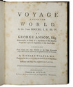
ANSON, George and Richard WALTER and/or Benjamin ROBINS (ed.).
A voyage round the world, in the years MDCCXL, I, II, III, IV.
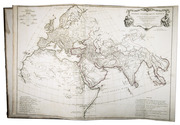
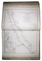
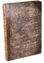
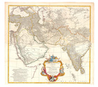
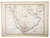
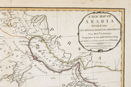
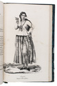
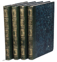
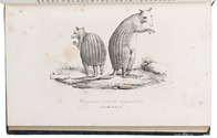
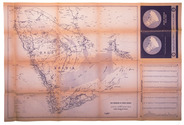
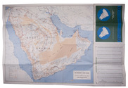
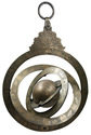
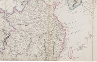
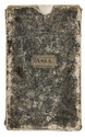
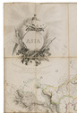
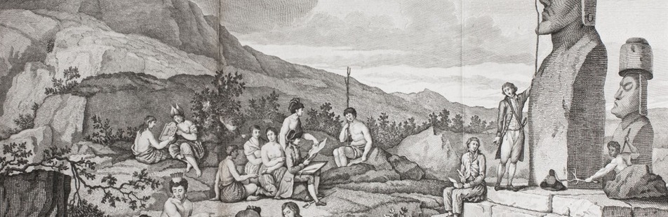
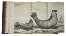
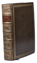
London, printed for the author, by John and Paul Knapton, 1748. Large 4to. With 42 engraved plates, maps and plans, all but one folding. Bound by Marcus Ward & Co. (founded 1833), with their bookbinder's label on the front paste-down, in 19th-century calf, gold-tooled and blind-tooled frame on both boards, gold-tooled spine with red morocco spine label with title in gold, gold-tooled board edges, blind-tooled turn-ins, red edges, blue ribbon marker. [1], [1 blank], [32], [1 blank], 417, [1 blank], [2] pp. Full description
€ 6,500
London, printed for the author, by John and Paul Knapton, 1748. Large 4to. With 42 engraved plates, maps and plans, all but one folding. Bound by Marcus Ward & Co. (founded 1833), with their bookbinder's label on the front paste-down, in 19th-century calf, gold-tooled and blind-tooled frame on both boards, gold-tooled spine with red morocco spine label with title in gold, gold-tooled board edges, blind-tooled turn-ins, red edges, blue ribbon marker. [1], [1 blank], [32], [1 blank], 417, [1 blank], [2] pp. Full description