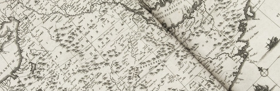

Detailed observations of life in the Ottoman Empire, Egypt
and elsewhere in the Levant and Middle East ca. 1610
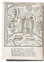
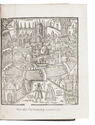
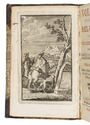
LITHGOW, William.
Willem Lithgouws 19 jaarige lant-reyse, uyt Schotlant nae de vermaerde deelen des werelts Europa, Asia en Africa.
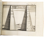
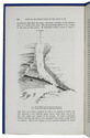
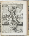
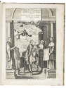
Amsterdam, Jacob Benjamin (colophon: printed by Christoffel Cunradus), 1653. 2 parts in 1 volume. 4to. With engraved frontispiece by Crispijn de Passe, 1 engraved plate and 6 engraved illustrations in the text. 19th-century half vellum. [8], 186, 98 pp. Full description
€ 1,950
Amsterdam, Jacob Benjamin (colophon: printed by Christoffel Cunradus), 1653. 2 parts in 1 volume. 4to. With engraved frontispiece by Crispijn de Passe, 1 engraved plate and 6 engraved illustrations in the text. 19th-century half vellum. [8], 186, 98 pp. Full description