
Very rare French translation of Pallas' second expedition to South Russia,
the Black Sea and the Crimea in 1793 and 1794
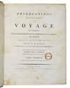
PALLAS, Peter Simon.
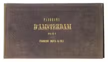
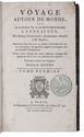
Observations faites dans un voyage entrepris dans les gouvernements méridionaux de l'Empire de Russie dans les années 1793 et 1794.
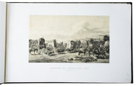
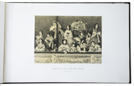
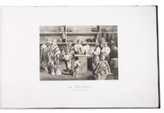
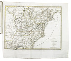
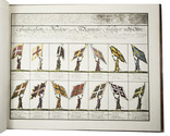
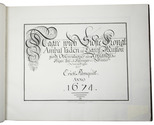
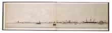
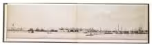
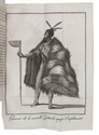
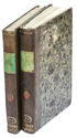
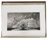
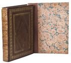
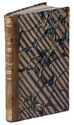
Paris, Strasbourg, Amand Koening; Leipzig, Godefroi Martini, 1799-1802. 2 text volumes and 1 atlas volume. 4to (text) and oblong folio (atlas: 24 x 40 cm). With 28 engravings in the text and 1 woodcut in each text volumes (23 hand-coloured), and 55 engraved plates and maps (43 hand-coloured) in the atlas volume. Text volumes in contemporary and uniform gold-tooled mottled calf. Atlas in matching contemporary mottled half calf. XXXII, 438; XVI, 452 pp. ; 55 ll. Full description
€ 8,500
Paris, Strasbourg, Amand Koening; Leipzig, Godefroi Martini, 1799-1802. 2 text volumes and 1 atlas volume. 4to (text) and oblong folio (atlas: 24 x 40 cm). With 28 engravings in the text and 1 woodcut in each text volumes (23 hand-coloured), and 55 engraved plates and maps (43 hand-coloured) in the atlas volume. Text volumes in contemporary and uniform gold-tooled mottled calf. Atlas in matching contemporary mottled half calf. XXXII, 438; XVI, 452 pp. ; 55 ll. Full description