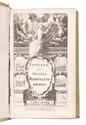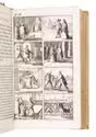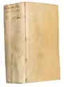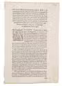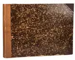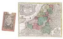

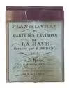
Pair of maps of The Hague in the original case
REDING, H.
Plan de la ville et carte des environs de La Haye.
The Hague, chez F. J. Weygand, 1838. Each ca. 32 x 39.5 cm. With 2 hand coloured lithographed maps printed on coated linen.
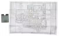
Comprising: (1) IDEM. Nieuwe platte grond der stad S' Gravenhage/ Nouveau plan de La Haye.
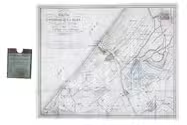
(2) IDEM. Carte des environs de La Haye.
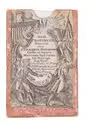
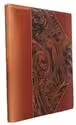
Both maps are folded and housed in the original publisher's reddish brown buckram case, with an engraved blue title label mounted on the front. Full description
€ 1,250
The Hague, chez F. J. Weygand, 1838. Each ca. 32 x 39.5 cm. With 2 hand coloured lithographed maps printed on coated linen.
Comprising: (1) IDEM. Nieuwe platte grond der stad S' Gravenhage/ Nouveau plan de La Haye.
(2) IDEM. Carte des environs de La Haye.
Both maps are folded and housed in the original publisher's reddish brown buckram case, with an engraved blue title label mounted on the front. Full description