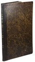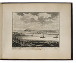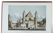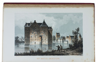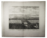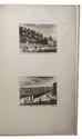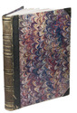

Incredibly rare collection of views by De Beijer and Van Liender of the castles, houses,
churches and towns surrounding the city of Kleve in a spectacular 18th-century Dutch binding
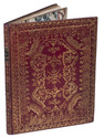
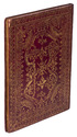
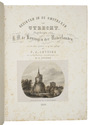
[KLEEFSCHE OUTHEEDEN - VIEWS]. BEIJER, Jan de (draughtsman) and Paulus van LIENDER (engraver).
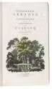
Verzameling van twaalf Kleefsche outheden en gezichten.
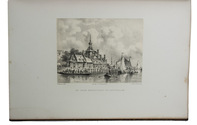
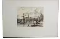
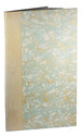
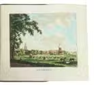
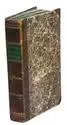
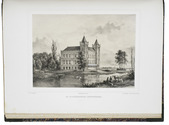
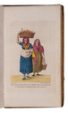
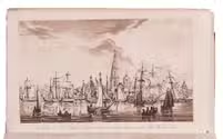
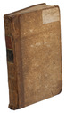
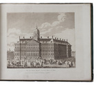
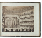
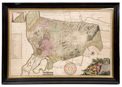
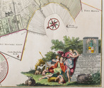
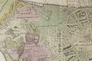
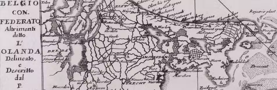
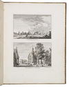
Amsterdam, Gerrit Tielenburg, (signed in the plates:) 1758-1762. Large 4to (29 x 23 cm). With 50 leaves showing 46 engravings containing a total of 91 views: 42 leaves with 2 views per leaf, 6 leaves with 2 double page views each, and 1 double page view on 2 leaves. All engraved plates are signed "J. de Beyer del. Paul: van Liender fec [year: between 1758 and 1762]". All views are captioned beneath the illustration, telling the viewer what building, town, or view they are seeing, and some captions even mention the year when the view was captured by De Beyer. Near contemporary (ca. 1778) elaborately gold-tooled red morocco, with a green morocco title-label lettered in gold on the spine, gold-tooled edges and turn-ins, floral decorated paper end leaves, gilt edges. [1], [1 blank] pp. and 50 leaves showing 91 engraved views. Full description
€ 12,500
Amsterdam, Gerrit Tielenburg, (signed in the plates:) 1758-1762. Large 4to (29 x 23 cm). With 50 leaves showing 46 engravings containing a total of 91 views: 42 leaves with 2 views per leaf, 6 leaves with 2 double page views each, and 1 double page view on 2 leaves. All engraved plates are signed "J. de Beyer del. Paul: van Liender fec [year: between 1758 and 1762]". All views are captioned beneath the illustration, telling the viewer what building, town, or view they are seeing, and some captions even mention the year when the view was captured by De Beyer. Near contemporary (ca. 1778) elaborately gold-tooled red morocco, with a green morocco title-label lettered in gold on the spine, gold-tooled edges and turn-ins, floral decorated paper end leaves, gilt edges. [1], [1 blank] pp. and 50 leaves showing 91 engraved views. Full description